Trekking the Highlander Svaneti offers an authentic taste of Georgia’s unspoilt northwest, a region as beautiful as it is remote
Just 20 years ago, Svaneti was considered a danger zone. Today, with an embarrassment of snow-capped 4,000m peaks, enchanting villages dotted with tower houses and gleaming glaciers standing sentry over meadows of wildflowers, Svaneti is a paradise for hikers.
Located in the remote northwest of Georgia, on the slopes of the mighty Caucasus Mountains near the border with Russia, wild and mysterious Svaneti has seen a tumultuous history including marauding Mongols and murderous blood feuds. Following independence in 1991, after the fall of the Soviet Union and the ensuing Georgian Civil War, the frontier region became a safe haven for criminals on the run.
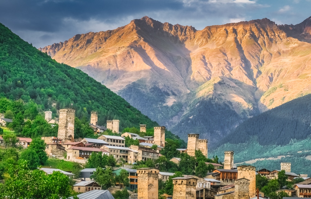
Fortunately, decades of investment have seen the region open up to tourists while still retaining its authenticity. Home to some of Europe’s highest continuously inhabited villages, UNESCO-listed Svaneti is now connected to the rest of the country by sealed roads and a small airport at Mestia, the region’s only town. There has also been a significant increase in accommodation options and tour operators in the region.
This summer, I joined the inaugural Highlander Svaneti trek, one of the latest additions to the Highlander Adventure collection, and found a beguiling landscape packed with mighty mountain vistas, peaceful leafy valleys and picturesque tower-house villages. Despite its recent transformation, Svaneti still offers a genuinely off-the-beaten-track adventure with delightfully empty trails. Its beauty and mystique are clearly in no danger of wearing thin.
HIGHLANDER Svaneti TREK
Distance: 59km
Duration: 3 days / 2 nights
Ascent/descent: 3,607m/3,364m
More info: highlanderadventure.com
Highlander Adventure treks are a blend of guided trek and self-sufficient expedition. The logistics are largely taken care of with internal travel to and from trailheads, routes, food, maps, checkpoints and campsites all pre-arranged.
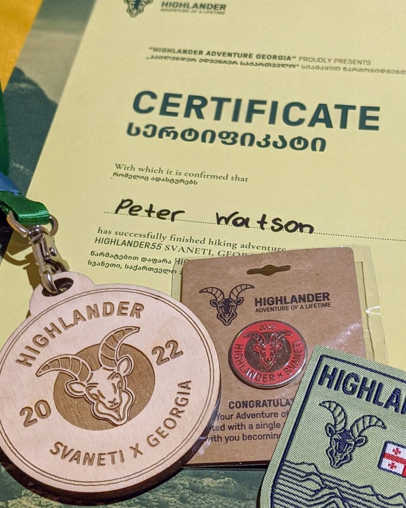
Trekkers are only responsible for getting themselves and their gear to the start point (and walking the trail of course). The treks are non-competitive, but there are daily checkpoints to pass through to gain a certificate and medal upon completion.
This was my third Highlander Adventure trek after completing the Highlander Velebit in Croatia in 2020 and the Highlander Olympus in Greece in 2021.
Day 1: Fields of Gold
Distance: 22km
Duration: 7-9 hours
Difficulty: Hard
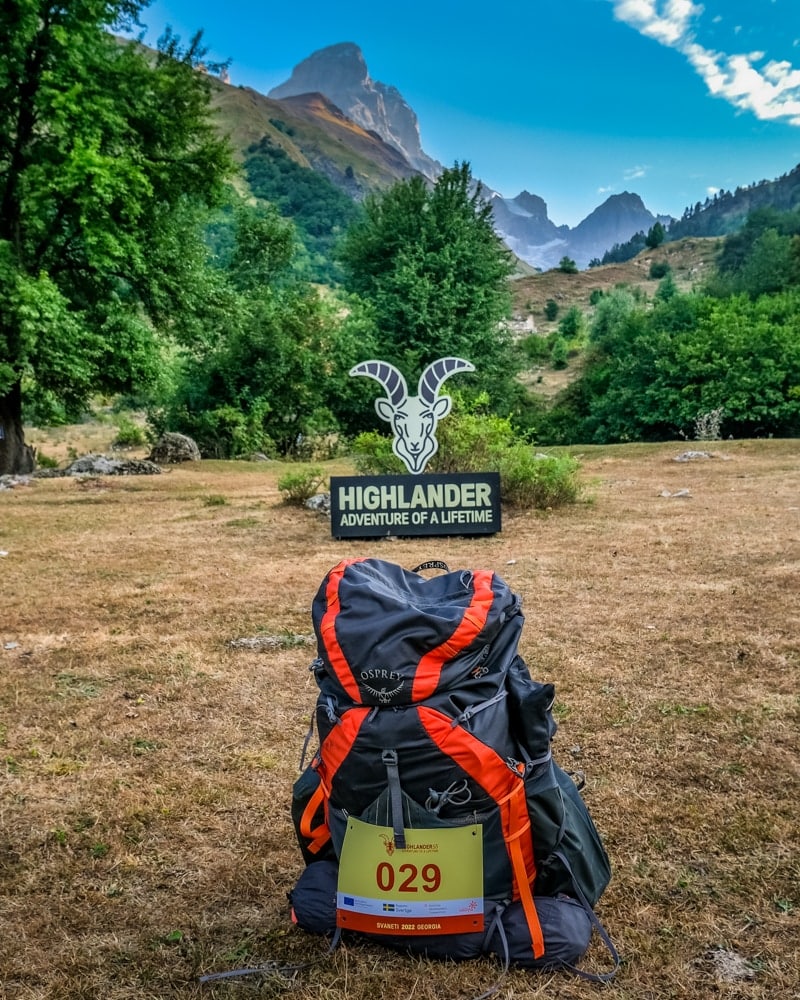
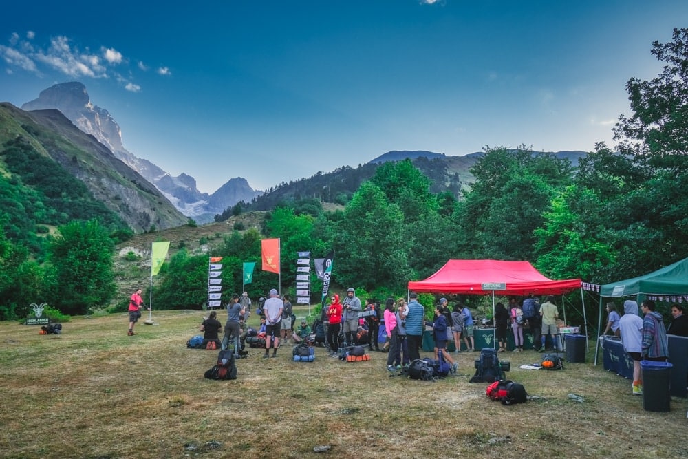
The first day certainly stretched my legs. After transferring to the start line at Becho, where participants collected their bib numbers, maps and food for the day, we began what would be the hardest part of the entire trek – a punishing 1,600m (5,249ft) ascent to the Guli Pass at 2,952m (9,685ft).
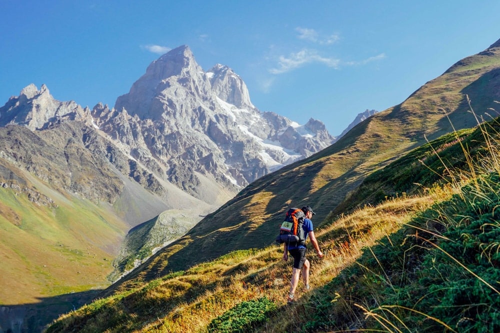
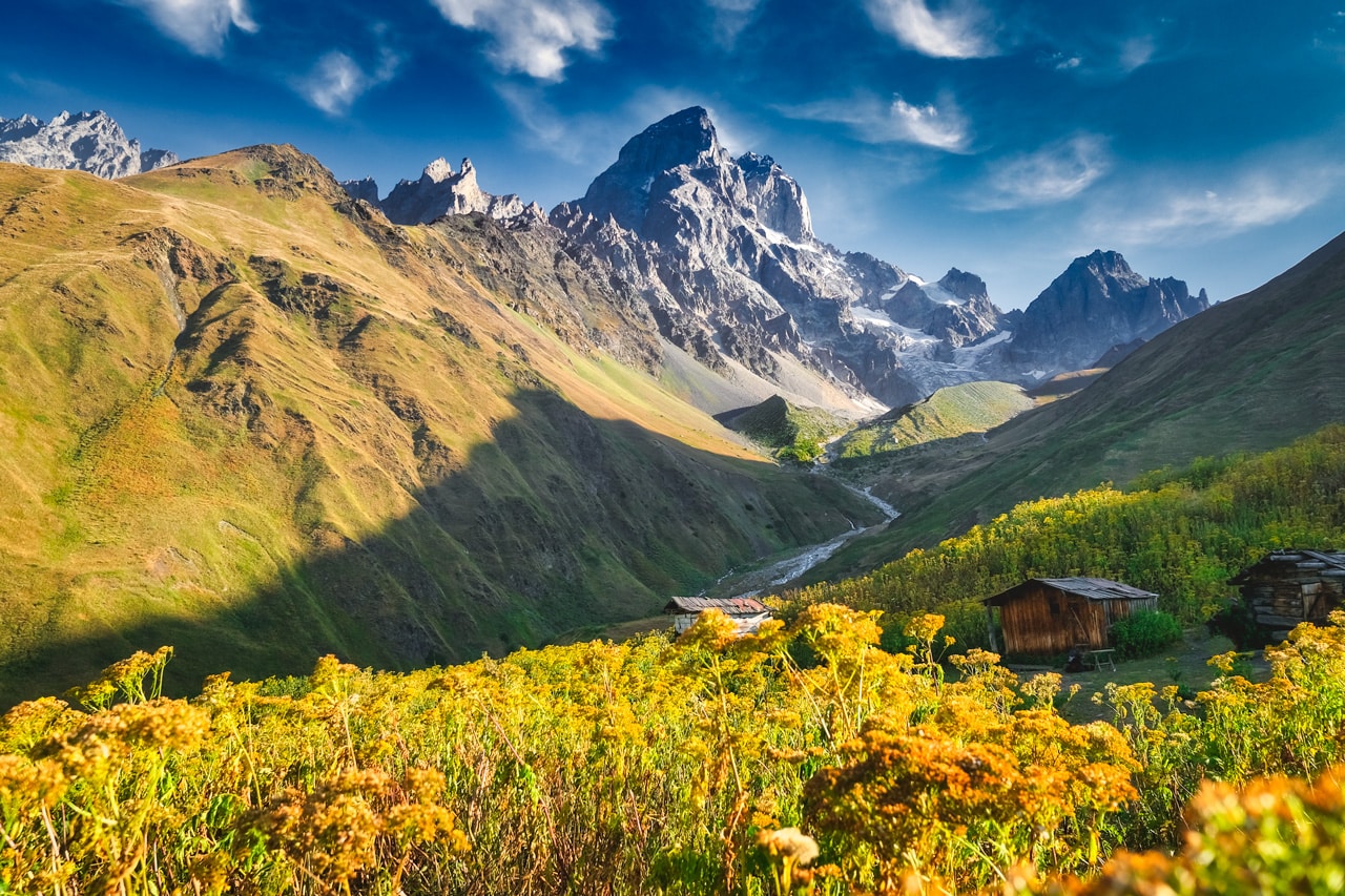
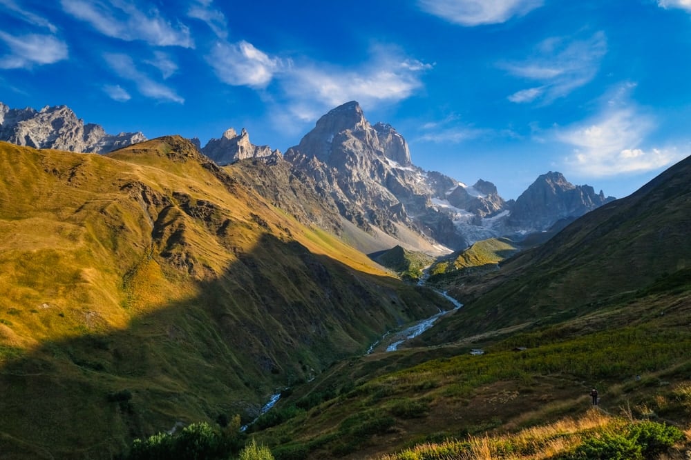
The climb was steep and slow-going, but the view across the valley to Mount Ushba was one of the most magical I’ve seen from a trail. At 4,710m (15,450ft), Mount Ushba is known as the “Matterhorn of the Caucasus” for its picturesque double shark’s fin summit, making it a contender for one of the most beautiful mountains in the world.
What really makes the mountain stand out is its surroundings as it towers over the idyllic Gulichala Valley. The most arresting view unfolded as I crested a bluff to find a clutch of wooden shepherd huts enveloped by a carpet of golden wildflowers semi-shaded by an adjacent ridge. It was barely mid-morning and I was dripping with sweat but felt richly rewarded for my efforts.
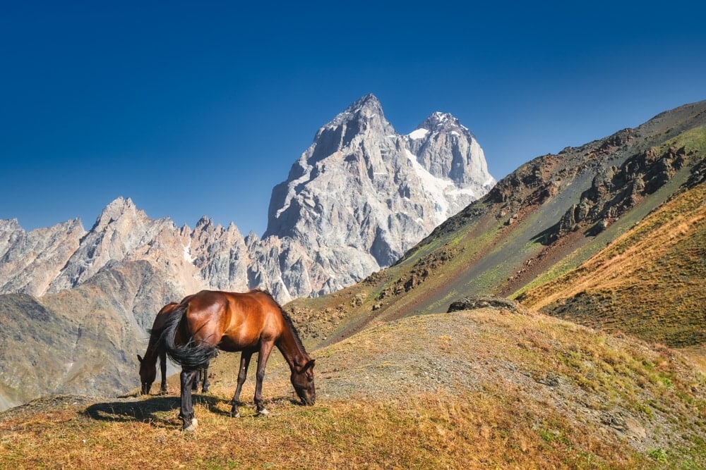
The trail swung away from the sparkling valley and flowed around the spur of the mountain up to the Guli Pass where a herd of wild horses were grazing. Here, along with other hikers, I took my first extended break of the day, soaking in the panoramic views. I studied the map and was relieved to see that it was all downhill for most of the day from here.
What followed was a long, steep, meandering descent that drifted along the contours of the slopes above the Pushkueri River. By now, it was blazing hot and by the time I reached the first water source, I was seriously parched. After taking a few minutes to rehydrate and refill my water bottle, I continued down the valley heading towards a bridge that would take me over the Mestiachala River at around 1,400m (4,600ft).
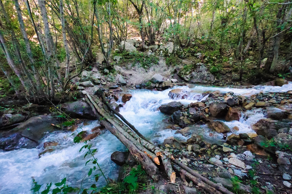
Once away from the lush valley, the descent was a long and dusty affair, far removed from the glorious morning of hiking. I was relieved to finally make it to the bridge, just a few kilometres up the valley from Mestia, where I took a few minutes to cool down beside the freshwater.
The last climb out of the valley was only a couple of kilometres but by now it was a furnace and there was little shade along the steep and dusty track. Resting every few hundred meters (whenever a slice of shade appeared), I eventually staggered into camp gasping for liquid. I was one of the first to arrive and had made good time but was utterly shattered. It had been a tough day.
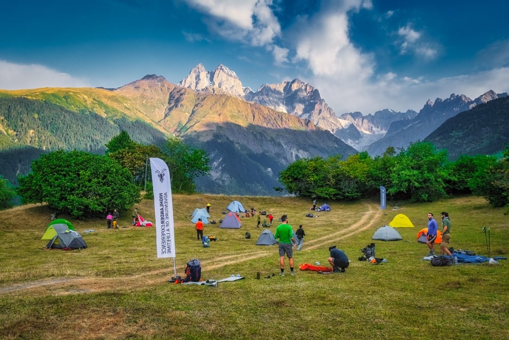
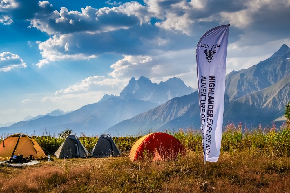
The campsite, on the grounds of a small farm perched above the Mestiachala Valley, had glorious views across to Ushba and the surrounding mountains. After pitching, I spent the afternoon cooling down in the shade and chatting with other hikers as they trickled into camp.
In the evening, we were treated to a Svaneti cooking masterclass by the farm owner who mixed up a vat of Tashmijabi, a hearty compound of potato and cheese! Sated and cheered, I slept rather well in my tent that night.
Day 2: Tower-house Villages
Distance: 17km
Duration: 5-7 hours
Difficulty: Moderate
The second day was a far more civilised affair. It began with a gradual descent from the campsite through a cool forest before emerging onto the pastures above the Mestiachala Valley. From here, the trail traced the contour of the hillside as it gently dropped back to the river.
The morning was broken up by a stop at Amo’s Cafe and Hut, a charming little guesthouse in the middle of nowhere overlooking the deep valley. It had a tiny open-air cafe – nothing more than a wall-less shed with crates for chairs – serving strong coffee and snacks.
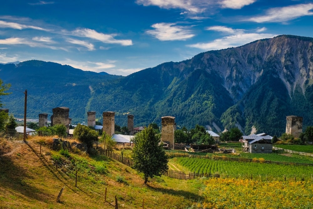
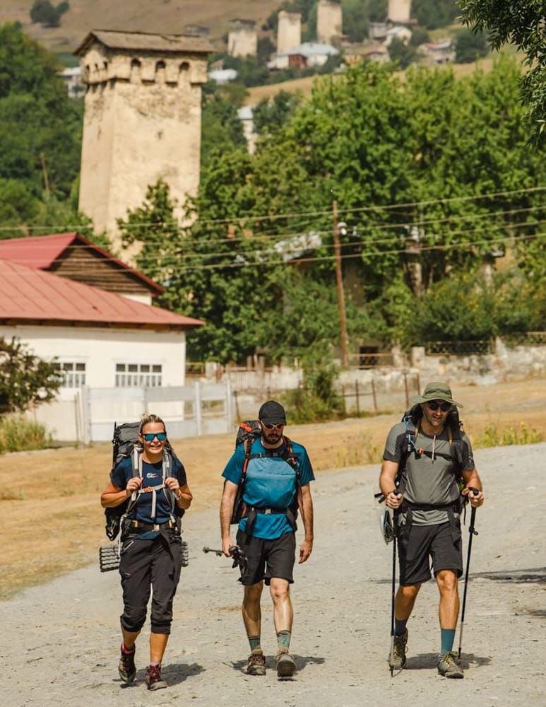
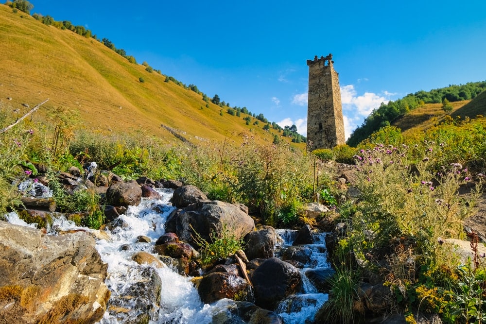
I paused there with a couple of fellow hikers who would become my trail buddies for the day, before continuing along the valley to cross another tributary of the river at the village of Zhabeshi, where children rode horseback along its cobbled streets beneath medieval towers.
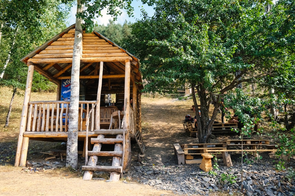
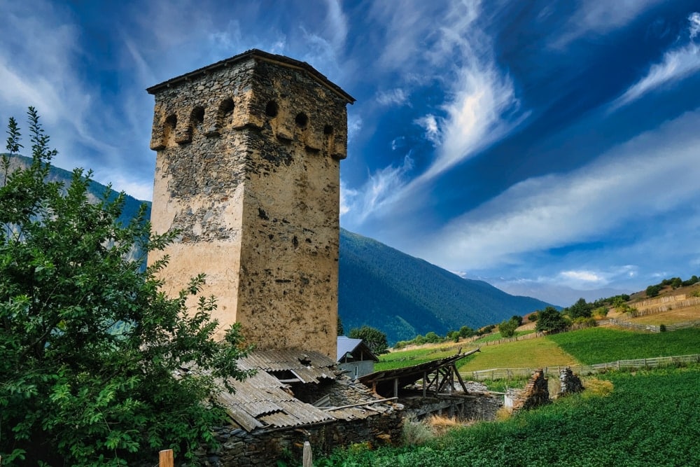
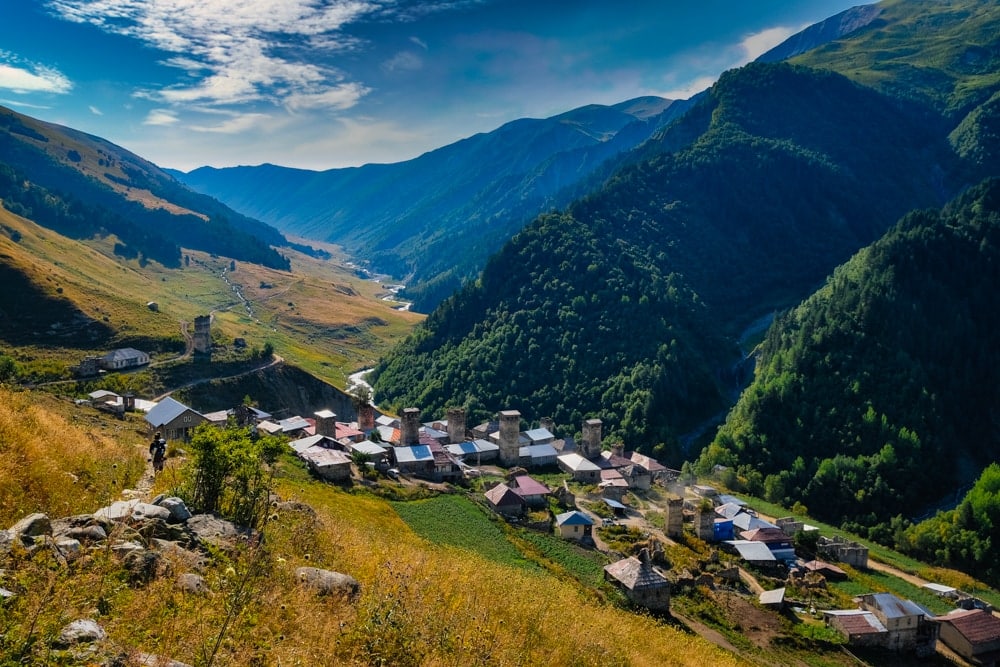
Never tamed by any ruler, Svaneti is famed for its koshki (defensive stone towers). Villages in this rugged region were usually too scattered to be encircled by a protective wall. Therefore, individual houses had to be separately fortified. Most were built between the 9th and 12th centuries by families seeking refuge from the steady stream of medieval marauders who swept through the area. The slender towers provided protection to their owners, their livestock and their most valuable possessions, as well as copies of holy scriptures, religious icons and relics.
We paused in Zhabeshi at Guest House Victor for a cold drink and some fresh watermelon – a real energiser on another sapping hot day. Here, we got a taste of the renowned Svan hospitality. After welcoming us into her simple but mercifully cool basement canteen and plying us with cold drinks and fresh fruit, the owner refused to take any payment. Eventually, we had to practically force a few lari into her hands!
On the other side of the valley, there was another steep climb waiting for us. Fortunately, some welcome cloud cover rolled in just as we got stuck into the really gruelling bit of the trail. Despite the relief from the sun, the 600m (1,970ft) climb was still a sticky undertaking as the trail zigzagged through close and airless thickets.
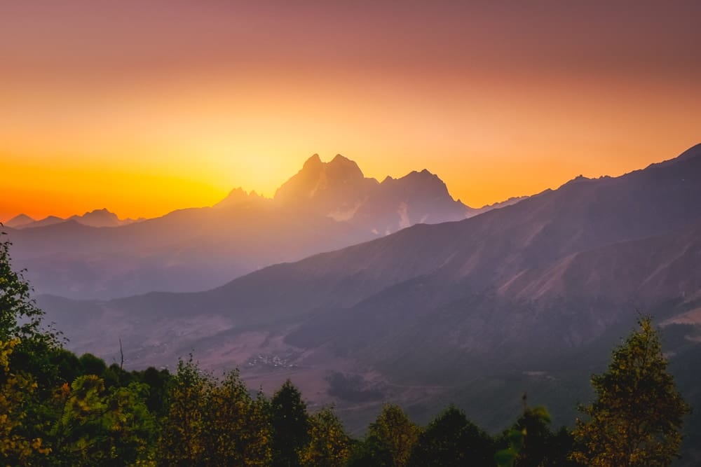
We arrived at the second camp mid-afternoon to find a welcome breeze wafting through the campsite jammed into a clearing just below the Tetnuldi Ski Resort. At around 2,350m (7,710ft), the campsite again boasted glorious mountain views. A bonus was watching the sun setting behind the jagged ridgelines of the Caucasus across the valley, smearing wildfire hues across the sky.
Day 3: Glacial views
Distance: 20km
Duration: 4-6 hours
Difficulty: Easy-moderate
Mercifully, the last day was the easiest. The trail was mostly undulating and had plenty of shade in the morning as it dropped in height towards the village of Adishi. The previous evening, I got to know a group of hikers who had travelled together from the UAE, so fell into step with them as we moved along the broad Adishichala Valley.
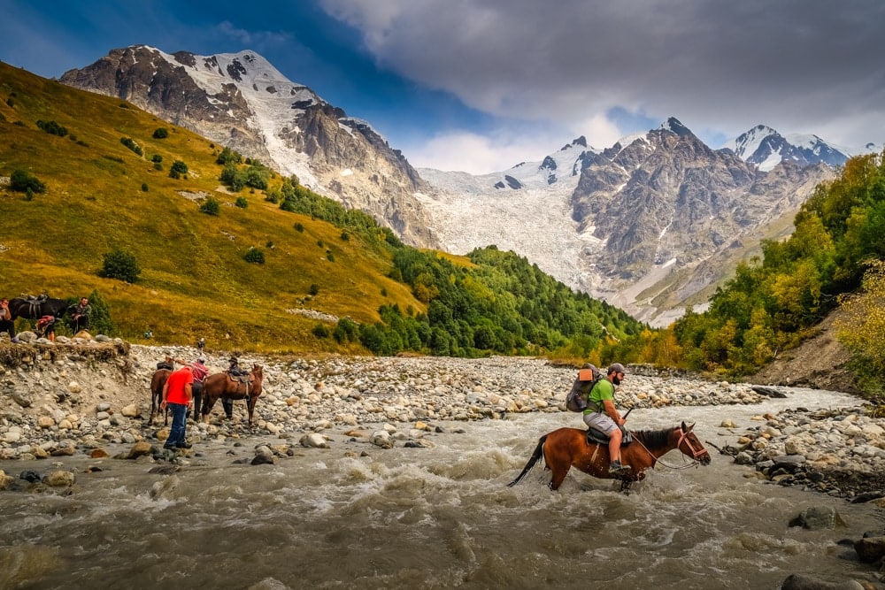
Eventually, the valley narrowed and we caught our first glimpse of the mighty Adishi Glacier. Before long, we had to cross the coursing Adishi River. Knowing that the river would be too strong to cross on foot, the event organisers had arranged for some local guides and their horses to take us across the river – a fun way to break up a day on the trail.
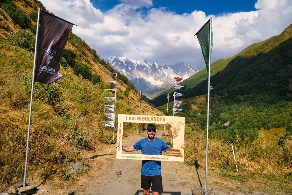
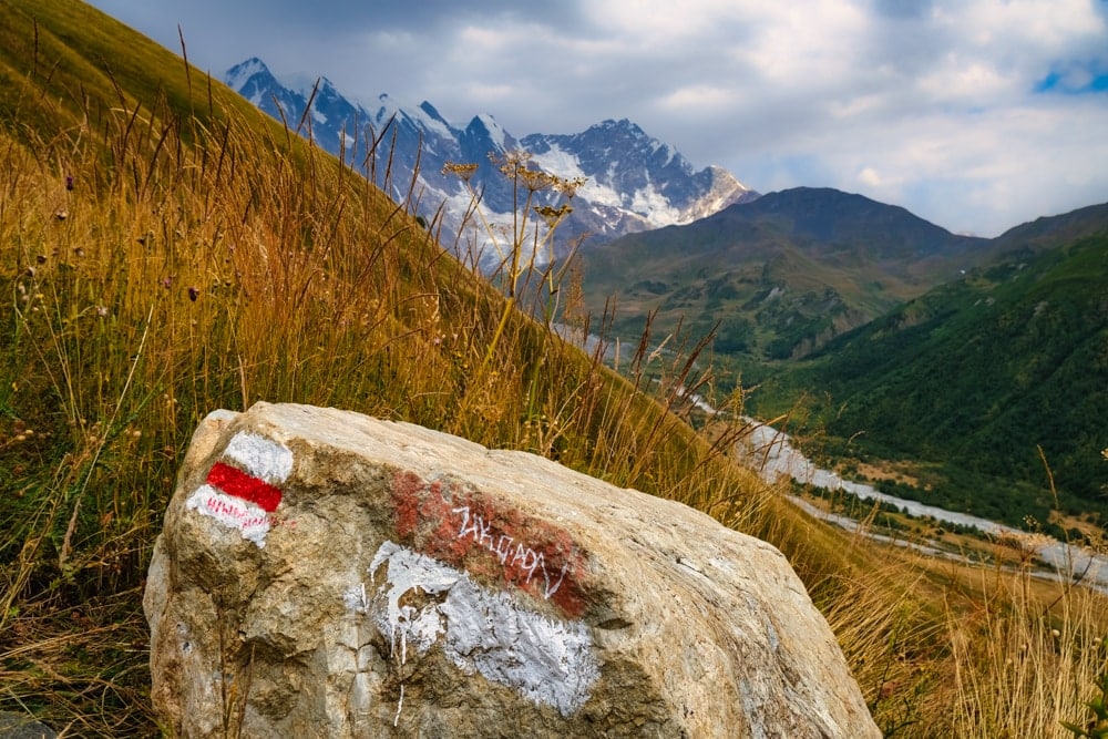
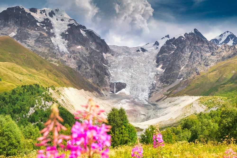
Once across, the route had one last ascent in store for us: a 300m (985ft) clamber up to the Chkhutnieri Pass (2,722m), which offers striking views of the Adishi Glacier banked by the looming peaks of the Caucasus and towering over a meadow of wildflowers throughout. It was arguably the best view of the entire trek.
At the pass, we entered the closing stage of the trek. There was one last abrupt descent, into the verdant Khalde Valley, before the trail turned, levelled out and tracked the Khaldechala River for a final couple of kilometres to the finish line at Khalde village. Here, a clutch of guesthouses and cafes serving hot soup and cold beer welcomed jubilant hikers. We, of course, enjoyed the libations before clambering into 4×4 minibuses which transferred us back to Mestia for the evening awards ceremony.
The Highlander Svaneti in Georgia was the best Highlander Adventure trek I’ve completed so far. Throughout, the scenery was sensational but it’s the unique setting that’s the real appeal. Journeying through Svaneti, especially when under your own steam, makes you feel like an explorer from some bygone century, encountering an untouched, unseen frontier for the first time.
Despite the recent investment and transformation, Svaneti still feels raw and still manages to serve up outdoor adventure how it’s supposed to be: wild, mysterious, beautiful, challenging and fun.
Highlander Svaneti: the essentials
What: Trekking the Highlander Svaneti in Georgia.
Where: There are two designated campsites, both located at the checkpoints, where there is ample space to pitch tents. The sites also have access to basic camping toilets and fresh water. Food for the evening meal and for the following day’s breakfast and lunch is provided at both.
When: The trek takes place in late August (this year it ran from 25th to 27th August), which is an ideal time for trekking the Highlander Svaneti. The weather is likely to be dry and hot with temperatures regularly exceeding 30°C. However, the evenings can get cold and – as the trek is in a mountainous region – the weather is susceptible to change quickly so make sure you pack warm and waterproof clothing.
August is a good time for visiting Georgia in general, although it is the hottest and busiest time of year. May, June or September are ideal as you will avoid the hottest and most humid summer months. Consider doing what I did and continue exploring Georgia after the Highlander trek.
How: The logistics, including internal transfers to and from trailheads, routes, food, maps and campsites, are all arranged and included in the price. However, hikers are responsible for organising their travel from Tbilisi to and from Mestia.
There are local buses running between Tbilisi and Mestia (from 65 GEL/25 USD, 9-10 hours), but the easiest way is to arrange a private minibus (from 200 GEL/$75 USD per person, 8-9 hours). Highlander Adventure can help with booking transfers, including carpooling, after registration.
Hikers can also be proactive and join the Highlander Facebook group to arrange transport and car shares as well as other logistics. There are flights available from Tbilisi to the small airport at Mestia but these can be unreliable.
There is a range of accommodation available in Mestia including lodges, hostels, hotels and campsites. I stayed at Hotel Old House and can also recommend Hotel Mestia Inn where the arrival meeting took place the night before the start. Use Booking.com to find the best prices.
Registration is currently priced at around $150 for the Highlander55 and $80 for the two-day, 30km Highlander Experience. The Highlander website includes information on how to register as well as more details regarding checkpoints, equipment and some basic guidelines for hiking in the region. More information, including joining instructions, is available following registration.
Hikers are responsible for organising international flights. I flew to Tbilisi from London via Istanbul with Turkish Airlines. Book flights via Skyscanner for the best prices.
Enjoyed this post? pin it for later…
