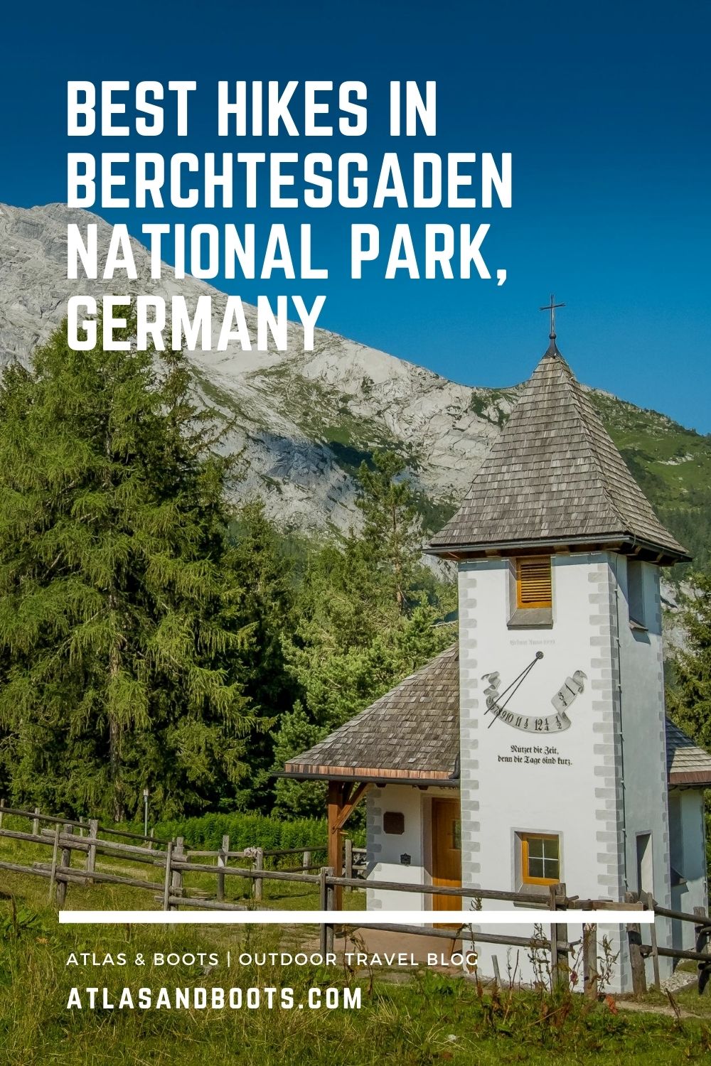
A selection of the best hikes in Berchtesgaden National Park, from serene day trips to thrilling via ferrata climbs and challenging multi-day tours
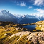
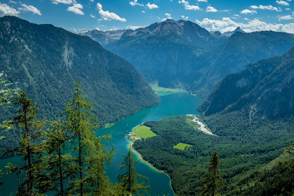
Berchtesgaden National Park in the heart of the Bavarian Alps accommodates nine lofty mountain ranges as well as Germany’s most photogenic body of water, Lake Königssee.
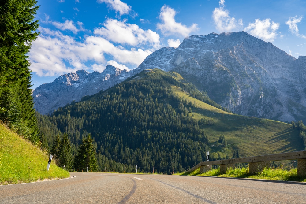
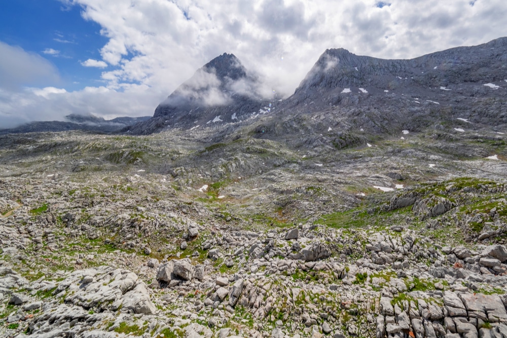
Brilliant green meadows, aquamarine lakes, dense dark forests and reams of serrated peaks characterise Germany’s spectacular southern horizon. The UNESCO-designated Berchtesgadener Land biosphere is home to Germany’s finest mountain scenery and the country’s only Alpine national park.
The area contains a labyrinth of superb hiking trails: well-maintained, clearly waymarked and supported by the outstanding network of Deutscher Alpenverein (German Alpine Club) huts. It is Germany’s premier hiking destination.
Below, we share the best hikes in Berchtesgaden National Park with options to suit everyone, from gloriously rewarding day hikes to hair-raising via ferrata scrambles and epic hut-to-hut tours.
Best hikes in Berchtesgaden National Park
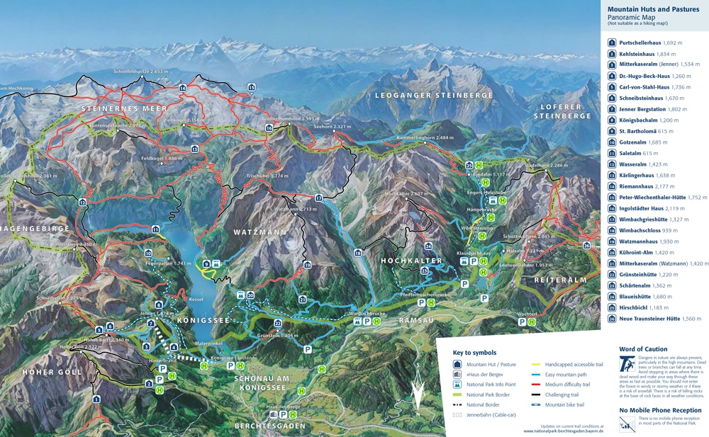
With over 260km of footpaths in the park, there are trails to suit every ability. The national park authority has a detailed leaflet and map (PDF) which provides an overview of the various trails, huts and access points.
Broadly speaking, the park’s trails are divided into four classifications:
- Yellow: accessible trails with minimal incline; adapted for the mobility impaired
- Blue: easy mountain trails with some steep sections
- Red: moderate mountain trails with some steep and exposed sections; safety cables may have been installed in places
- Black: challenging trails with exposed sections that present a risk of falling; some climbing aids (such as via ferrata) installed; unsecured climbing stretches
Where to stay in Schönau am Königssee
If you don’t fancy staying in mountain huts then Schönau am Königssee, located at the northern end of Lake Königssee, is a good base for accessing all the trails.
High-end
Mid-range
Budget
Day hikes
There are scores of day hikes throughout the park which can easily be adapted or combined with others. We’ve picked five which showcase the diversity of the Berchtesgaden.
1. Wimbachtal
Distance: 8.5km / 15km
Duration: 2-3 hours / 4-5 hours
Difficulty: Easy
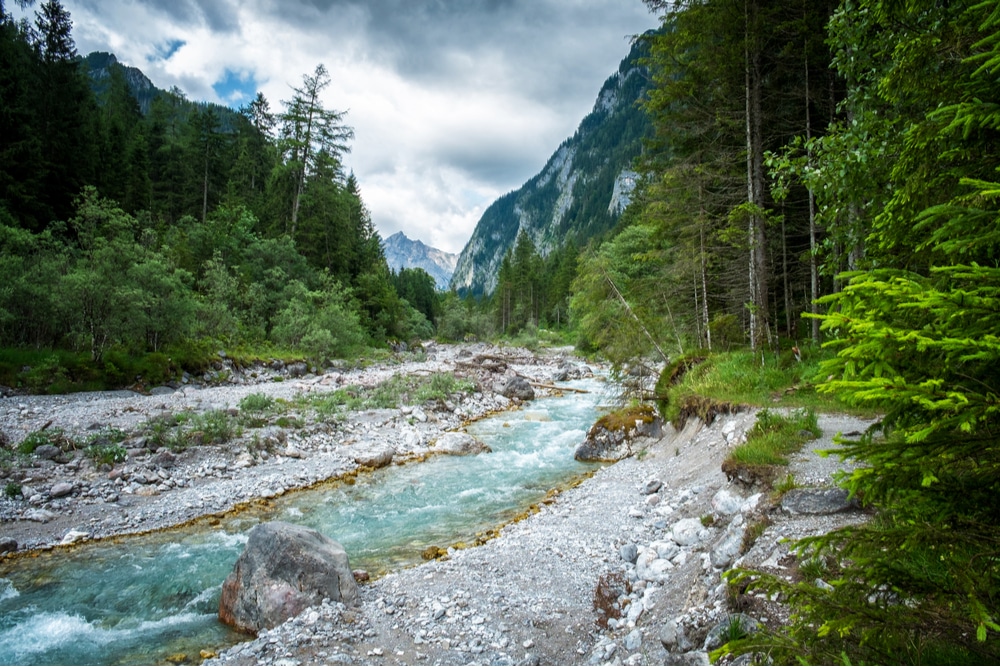
This is a pleasant walk with only a slight and gradual incline along the Wimbachgries valley to the Wimbachschloss hut (937m). The wide, shaded trail follows the Wimbach River through the gorge and is consistently banked by some of the park’s most striking peaks and ridges.
The trail can be easily extended along the valley to the delightful Wimbachgrieshütte (1,327m) which sits in the shadow of the Watzmann massif.
2. Kührointalm
Distance: 14km
Duration: 4-5 hours (6-7 if returning via St. Bartholomä)
Difficulty: Easy
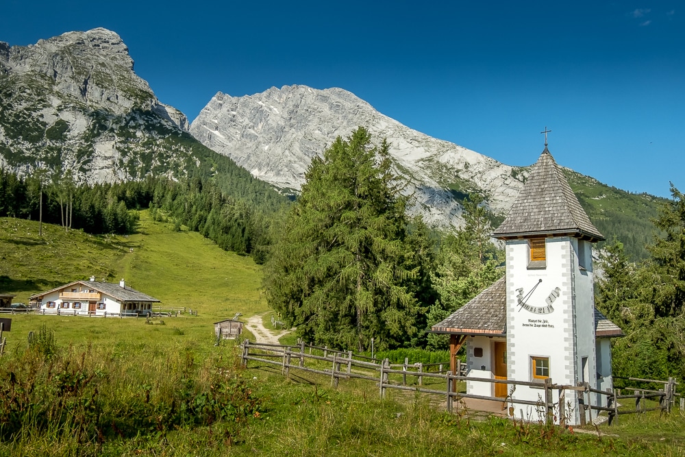
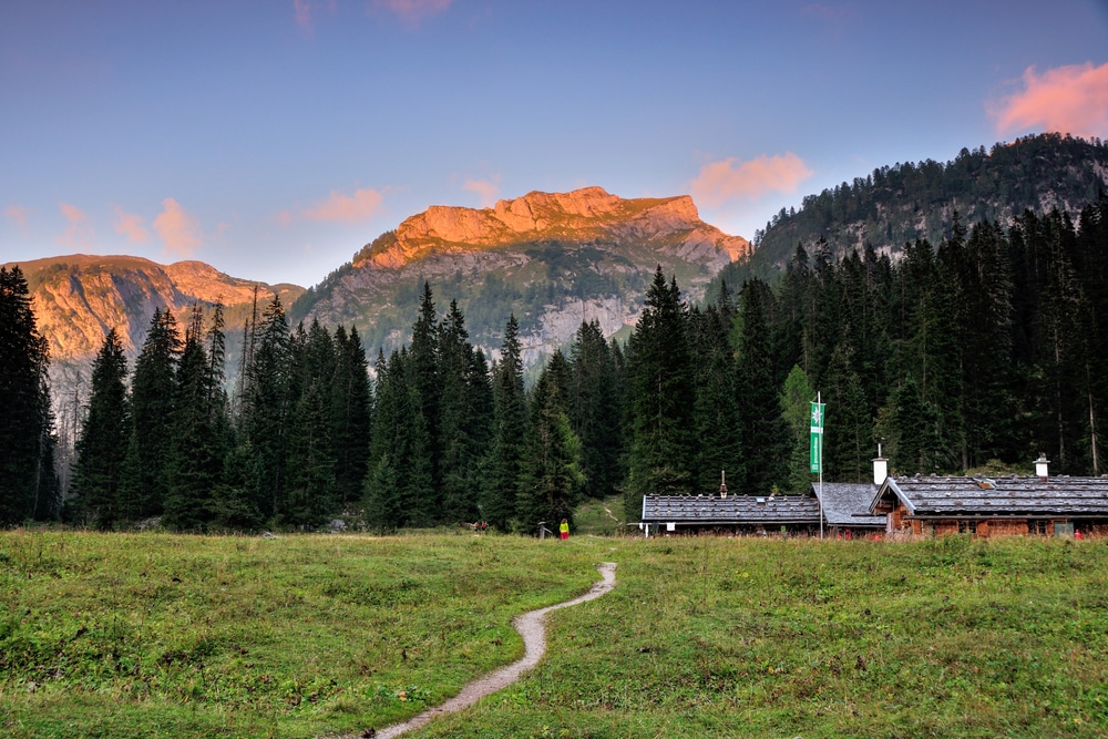
On the other side of the Watzmann massif sits the Kührointalm (1,420m), a collection of alpine huts that sits amid picturesque pastures and lofty mountain peaks. It also serves some delectable spinatknoedel (spinach dumplings).
The trail up to the hut from Schönau am Königssee is initially steep and makes its way through thick forest, but it gradually flattens out and opens into the meadows and pastures near the huts.
Hikers can either return the same way or take the significantly more demanding but incredibly scenic descent to St. Bartholomä. Here, hikers can cool off in the calm waters before catching the ferry back to Schönau am Königssee. Allow an additional two hours for this route and ensure your schedule coincides with the Königssee Lake ferry timetable.
3. Gotzenalm
Distance: 23km
Duration: 7-8 hours
Difficulty: Moderate
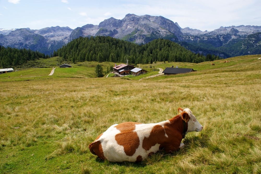
Around a third of the way along Lake Königssee is Kessel, a small landing stage where a long, steep and spectacular trail leads up to Gotzenalm (1,685m). A short detour from there takes hikers to the striking Feuerpalfen lookout point. From Gotzenalm the trail gradually works its way downhill to Schönau am Königssee via Königsbachalm (1,200m).
Note that the ferry will only stop at Kessel Anlegeplatz upon request. The route can also be walked in reverse starting at Schönau am Königssee and finishing at Kessel where hikers will need to wave down a passing ferry.
4. Mt Hoher Göll
Distance: 11km
Duration: 6-7 hours
Difficulty: Moderate
Hoher Göll at 2,522m is the highest peak of the Göll massif and straddles the Germany-Austria border. It is a long and testing day hike to the summit which requires some challenging scrambling in places.
The good news is that it’s also thoroughly rewarding and begins at the Hinterbrand car park which at 1,150m significantly reduces the ascent. There are several options for the descent including the hairy but breathtaking Jenner ridge.
5. Halsköpfl & Wasseralm
Distance: 30km
Duration: 8-9 hours
Difficulty: Hard
This is an exceptionally long day on the trail and relies on hikers catching the first ferry of the day from Schönau am Königssee to Salet and then returning in time to catch one back.
Initially, the track is reasonably easygoing before it breaks into a punishing 1,100m ascent to Halsköpfl (1,718m) via an exposed mountain path. Once on the high plateau, the trail levels off before descending to the Wasseralm hut (1,415m). Hikers often prefer to overnight at the Wasseralm and split the journey across two days.
After the Wasseralm, the trail continues its descent via the Röthbach waterfall, which at 479m is the highest in Germany. Before returning to Salet, the trail skirts the serene Obersee Lake – an ideal spot for an afternoon swim if you have time.
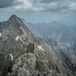
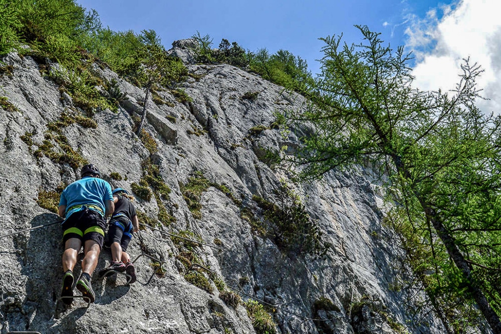
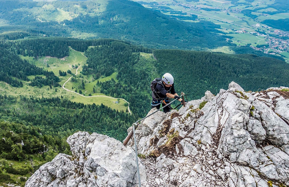
Via ferrata (klettersteig)
There are at least 85 via ferrata – or klettersteig in German – routes in the Berchtesgadener. We’ve selected four fantastic courses across a range of grades.
Routes are graded in Germany as follows:
- A / Easy: straightforward path but exposed; ample climbing aids; short ladders
- B / Moderate: some steep terrain; smaller footholds, but climbing aids provided; longer ladders; protected but exposed scrambling; some use of arms
- C / Difficult: steep to very steep rock; adequate climbing aids; long ladders; possible overhanging sections; good fitness and some arm strength required
- D / Very difficult: very steep to vertical; probable overhanging sections; mainly very exposed; some climbing aids but often wire rope only; strong arms and hands required
- E / Extremely difficult: vertical to overhanging; consistently exposed; very small footholds or friction climbing; often no climbing aids other than cables; sustained arm strength required; easier sections may be unprotected
1. Schützensteig
Distance: 2km
Duration: 12-3 hours
Difficulty: A / Easy
Schützensteig on the Jenner mountain is a gentle introduction to via ferrata in the Berchtesgadener. The straightforward route ascends around 150m up to the summit of Kleiner Jenner (Small Jenner). At the summit, there are magnificent views of the surrounding peaks and Königssee Lake.
The Schützensteig route is suitable for children. However, they must be supervised by an adult throughout. The course can be extended with the Laxersteig route although this offers a significant step up to a harder grade (C) and will add at least an hour onto the time.
More information: berchtesgaden.de
2. Grünstein
Distance: 7km
Duration: 4-5 hours
Difficulty: B-C / Moderate-difficult
One of the most popular via ferrata routes in the Berchtesgadener, the Grünstein climbs around 400m over a course of nearly 700m. The course takes in a number of challenging problems as well as a dizzying suspension bridge.
At the summit of Grünstein (1,304m), hikers enjoy exceptional views of the Watzmann massif, Königssee Lake and down into the Berchtesgaden Valley. Nearby is the delightfully positioned Grünsteinhütte serving snacks, meals, cold drinks and beer.
More information: berchtesgaden.de
3. Hochthron
Distance: 11km
Duration: 8-9hours
Difficulty: C-D / Difficult-very difficult
A considerable step up from the two routes above, the Hochthron via ferrata is a tougher grade and involves a longer approach. The route ascends the Untersberg, the prominent northernmost massif of the Berchtesgaden Alps straddling the Germany-Austria border.
Apart from a 10m-section, a wire cable is present throughout the 400m ascent over a steep rockface and involves a number of exposed and demanding passages. Be aware that there are no exit paths en route, so once started the only way off the mountain is via the descent path at the end of the via ferrata course.
More information: berchtesgaden.de
4. Pidinger
Distance: 12.5km
Duration: 7-8 hours
Difficulty: D / Very difficult
Not for the fainthearted, the Pidinger via ferrata is a challenging, steep and long climbing system that follows a breathtaking route through the northern slopes of the Hochstaufen to the summit at 1,771m.
The route ascends 750m across some extremely exposed sections and involves some equally demanding scrambles. This should not be your first via ferrata.
More information: berchtesgaden.de
Multi-day tours
We’ve picked out four classic Berchtesgadener tours. These tours require overnighting at an alpine hut at least once.
1. Watzmann Traverse Tour
Distance: 25km
Duration: 2 days
Difficulty: Hard
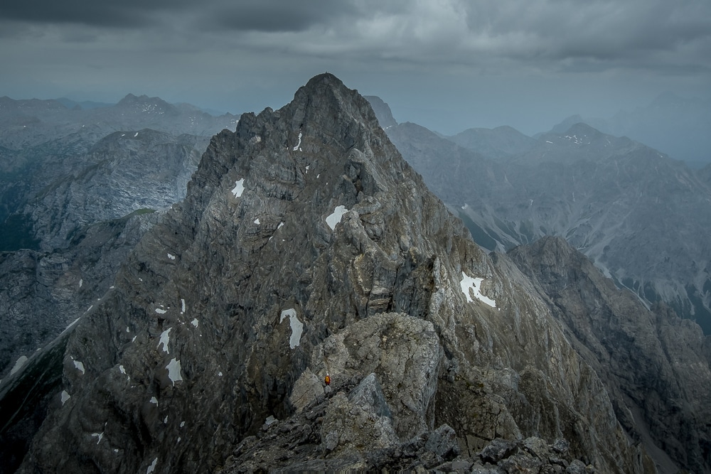
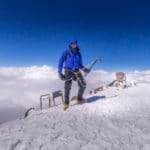
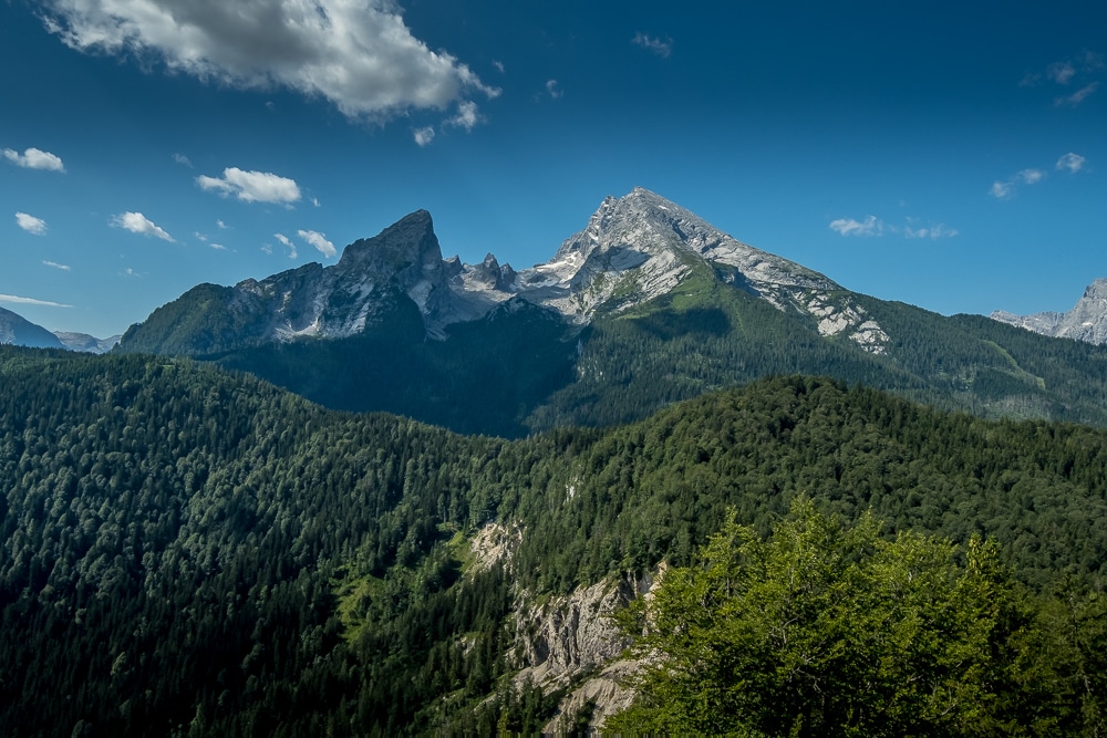
The Watzmann massif is the superstar of ‘Berchtesgadener Land’ and the Watzmann Traverse is considered a rite of passage among German hikers.
The Watzmann Traverse (or Watzmann Crossing) takes in the three principal peaks of Hocheck (2,651m), Mittelspitze (Middle Peak, 2,713m) and Südspitze (South Peak, 2,712m), usually crossed from north to south along the 4.5km ridge. The Mittelspitze (Middle Peak) is Germany’s third-highest peak and the highest located entirely within German territory.
The ‘Watzmann Tour’ is usually completed as a hut-to-hut hike in two stages with the first day used to hike up to the Watzmannhaus hut to stay overnight. However, hikers could also stop for an additional night at Wimbachgrieshütte on the other side of the traverse.
More information: Hiking the Watzmann Traverse – a Bavarian classic
2. Traunsteiner Tour
Distance: 25.3km
Duration: 2 days
Difficulty: Hard
This two-day trek overnights at the Neuen Traunsteiner (New Traunsteiner) hut and involves a thrilling but demanding ascent over the Schaflsteig (2,286m), the highest peak of the Reiter Alm range. The ascent of the Schaflsteig involves some scrambling as well as using some via ferrata climbing aids in places.
The exposed alpine trail leads onto the Mayrbergscharte pass beneath the striking south wall of the Mühlsturzhörner where the path splits between two high-alpine trails leading to the Neuen Traunsteiner hut. The following day is spent descending via a refreshing alpine forest to complete one of the best hikes in Berchtesgaden National Park.
More information: berchtesgaden.de
3. Steinerne Meer Tour
Distance: 57.3km
Duration: 4 days
Difficulty: Moderate-hard
The Steinerne Meer (Stone Sea) tour takes a peek at every Berchtesgadener landscape on offer. Despite the distances covered, the terrain is mostly moderate thanks to the clearly defined and wide mountain paths. Only during the second day are there some narrower and exposed sections with steel cabling for support.
The Steinerne Meer takes its name from the rocky plateaus linking the Watzmann, Königssee, Hagengebirge, Hochkönigstock and Hochkalter massifs. As such, in a number of places, the scene resembles a “sea turned to stone with surging, stone waves”.
There are no fewer than nine mountain huts along the route so the tour can be broken up in a number of ways and even spread across more days if preferred.
More information: berchtesgaden.de
4. Watzmann Hut tour
Distance: 53km
Duration: 4 days
Difficulty: Hard
This tour combines parts of the two-day Watzmann Traverse and the Steinerne Meer tours. The route doubles back on itself meaning hikers will complete the traverse in both directions. The route then continues to the Wimbachgrieshütte hut before continuing on the following day to the Kärlingerhaus hut and its picturesque views of Lake Funtensee at 1,601m.
The final-day descent to St. Bartholomä enjoys some of the finest views in the Berchtesgadener. A dip in the lake is thoroughly recommended before catching a ferry back to Schönau am Königssee.
More information: berchtesgaden.de
Best hikes in Berchtesgaden National Park: the essentials
What: The best hikes in Berchtesgaden National Park in the Bavarian Alps of Germany.
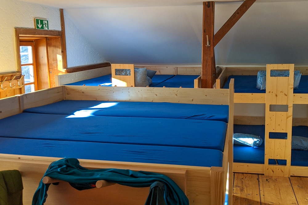
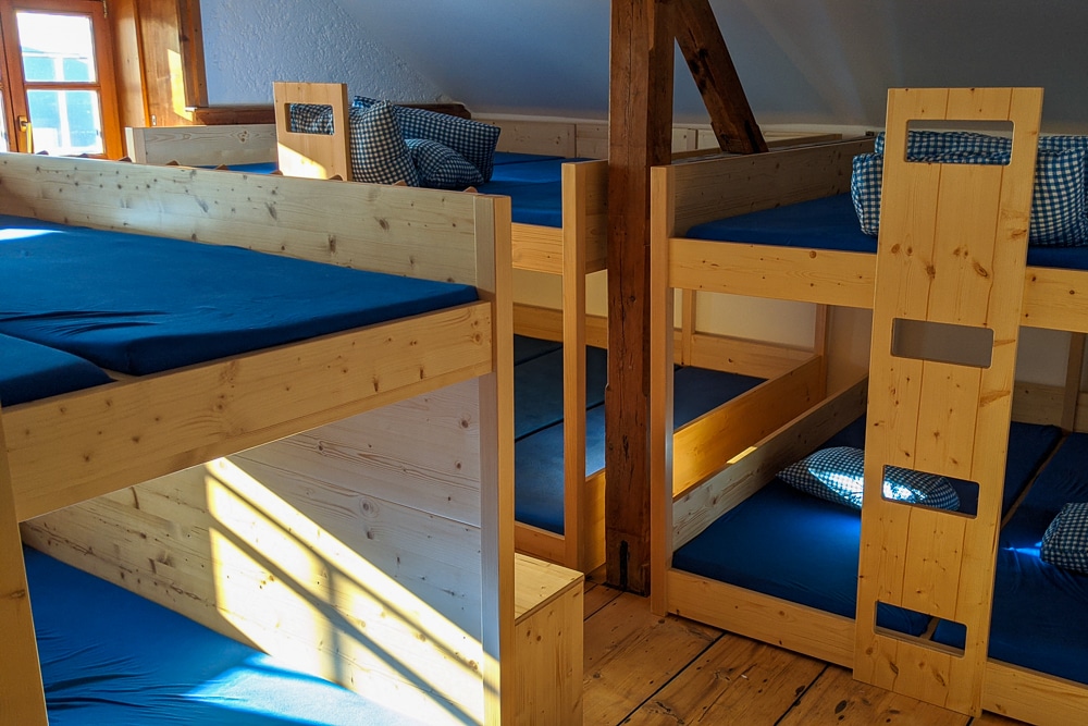
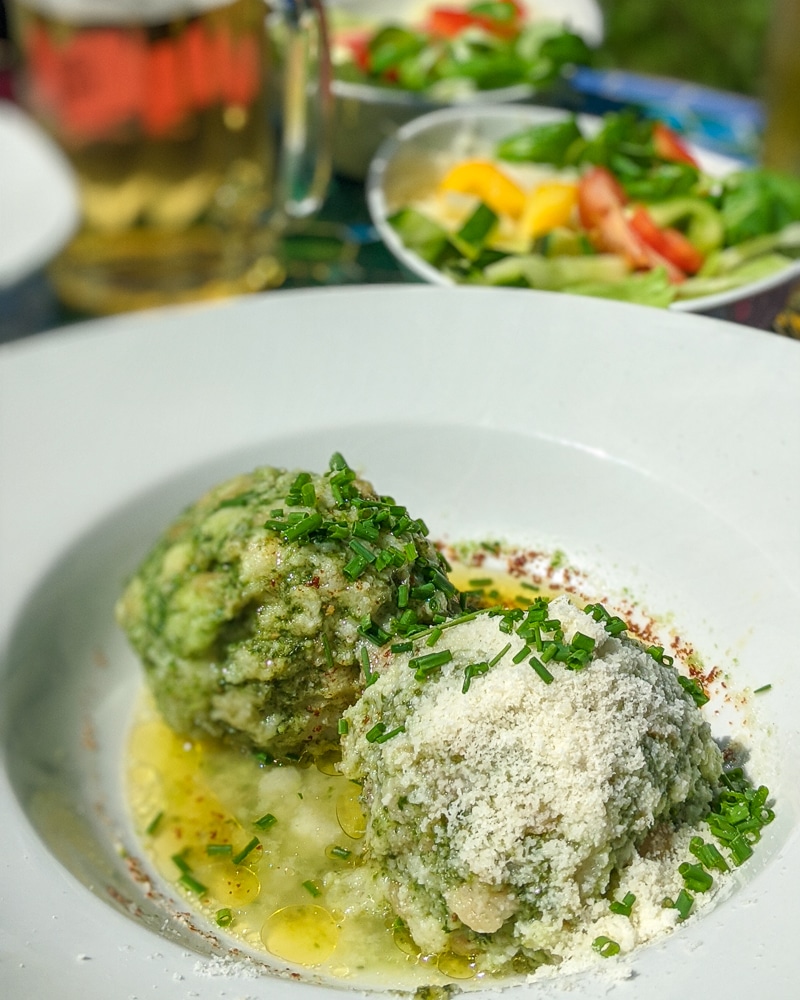
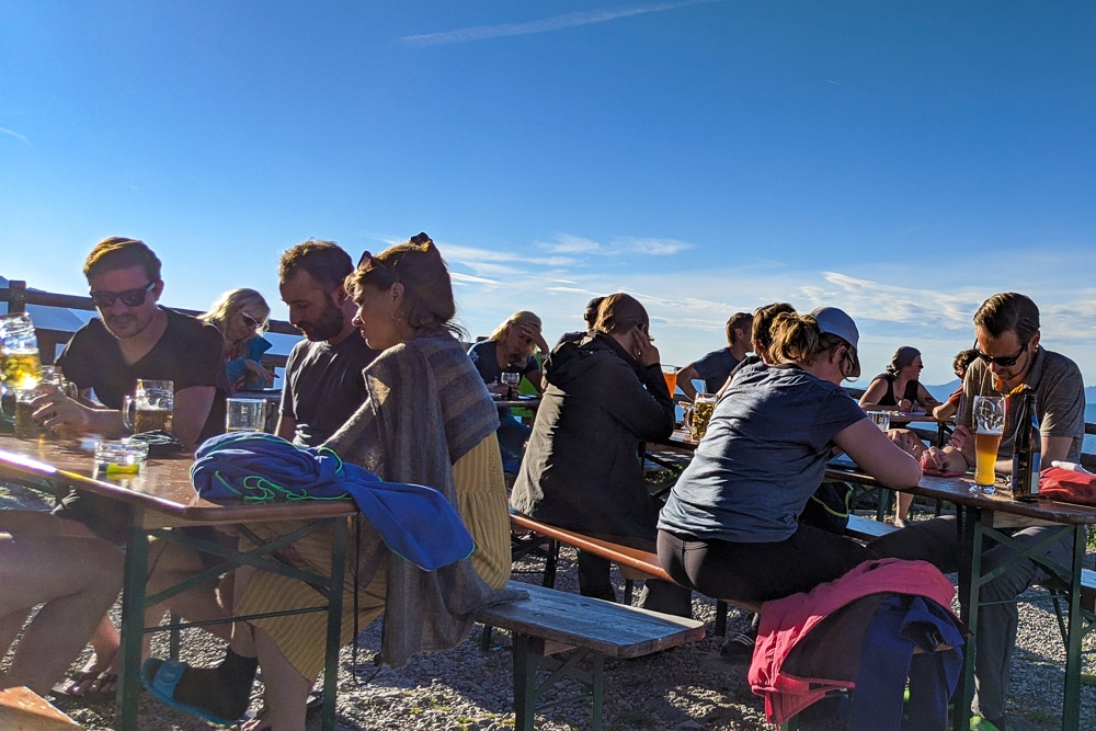
Where: The network of trails in the Berchtesgaden are serviced by the exceptional DAV (Deutscher Alpenverein/German Alpine Club) huts. The excellent DAV huts are fully serviced bunkhouses serving three meals a day, snacks and plenty of beer.
To stay at a hut, hikers must bring their own sleeping bags, a bed sheet and a pillowcase or personal pillow. There is usually a dry room for wet gear, indoor and outdoor seating areas as well as several washrooms and showers. However, huts at higher elevations may not have showers. Booking in advance is essential.
Atlas & BOots
Life at the Watzmannhaus
Prices vary from hut to hut and depending on the time of year and whether you stay in a double, small or large dorm room. Meals generally cost around €7 for breakfast and €10 for lunch and dinner.
As a member of the British Mountaineering Council (BMC), I am registered for the Reciprocal Rights Card which gives members discounted rates in Alpine club huts around Europe including France, Switzerland, Italy, Germany, the Netherlands, Austria and Spain.
As an example, my Reciprocal Rights Card reduced the price of a bed in a dorm room in the Watzmannhaus from €29 to €13 per night.
When: The best time for hiking in the Berchtesgaden is from June through September. It is possible to hike the lower trails outside of this period, but we do not recommend attempting the higher passes or via ferrate routes.
Outside of these periods, the higher routes become winter ascents and require winter climbing skills such as the use of crampons, an ice axe and additional rope skills.
How: The nearest transport hubs to Berchtesgaden National Park are Salzburg in Austria (25km) and Munich (185km). I flew to Munich where my friend, who was en route from the Netherlands, picked me up. We drove to Schönau am Königssee, the small municipality located at the end of Lake Königssee in the park.
There is a large long-stay car park in Schönau am Königssee for €5 a day (coin-operated).
It is also possible to travel by bus or train from Salzburg and Munich to Berchtesgaden. More information can be found on the national park website.
I flew to Munich with Lufthansa.
Book via Skyscanner for the best prices.
Enjoyed this post? pin it for later…

Stay charged and connected with the Ceptics Universal Travel Adapter which fuels your global journey across 100+ countries handling six devices at once with ease.