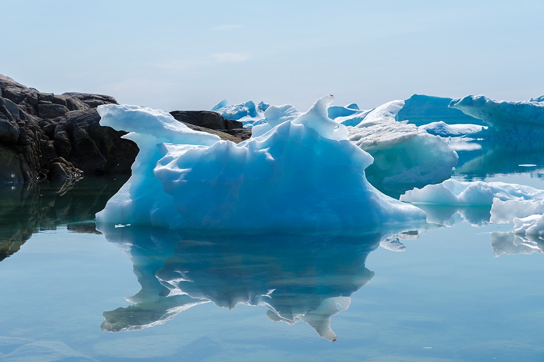
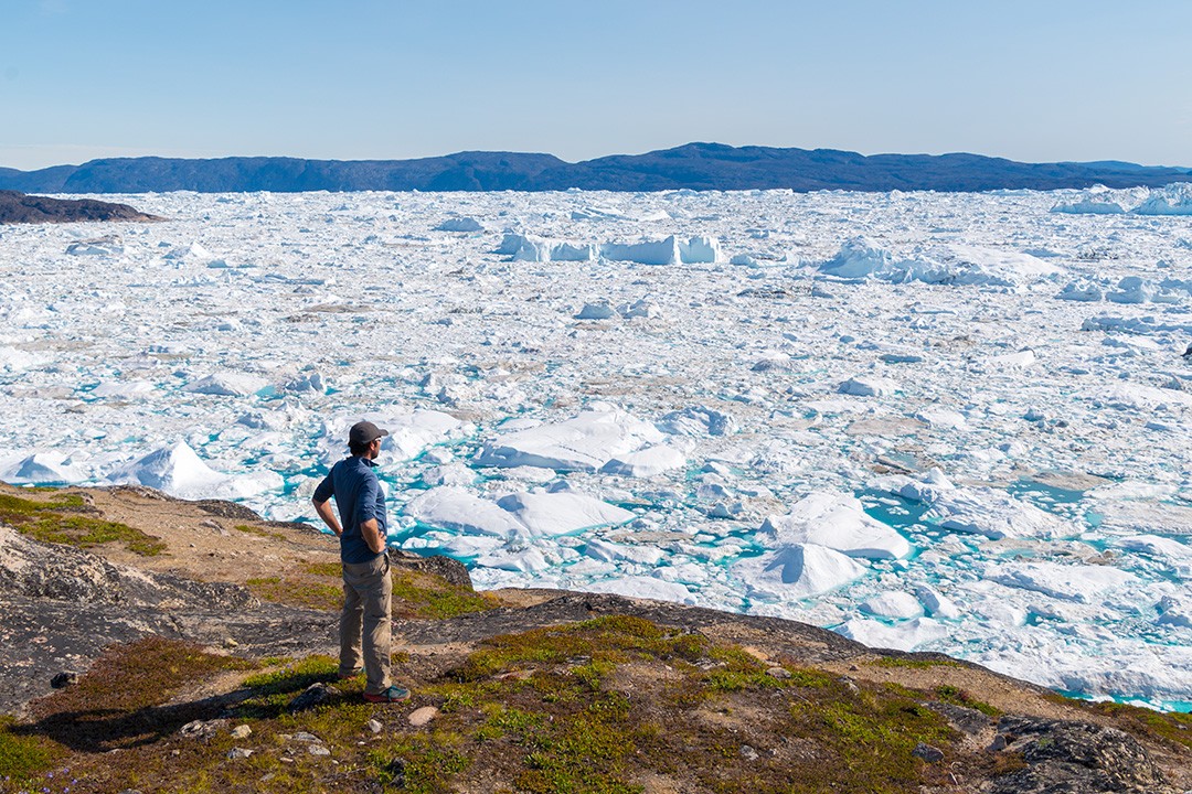
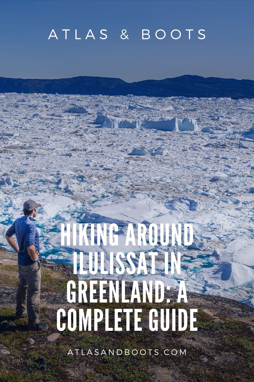
Hiking around Ilulissat is the quickest and easiest way to get close to the immense icefjord that fringes the town
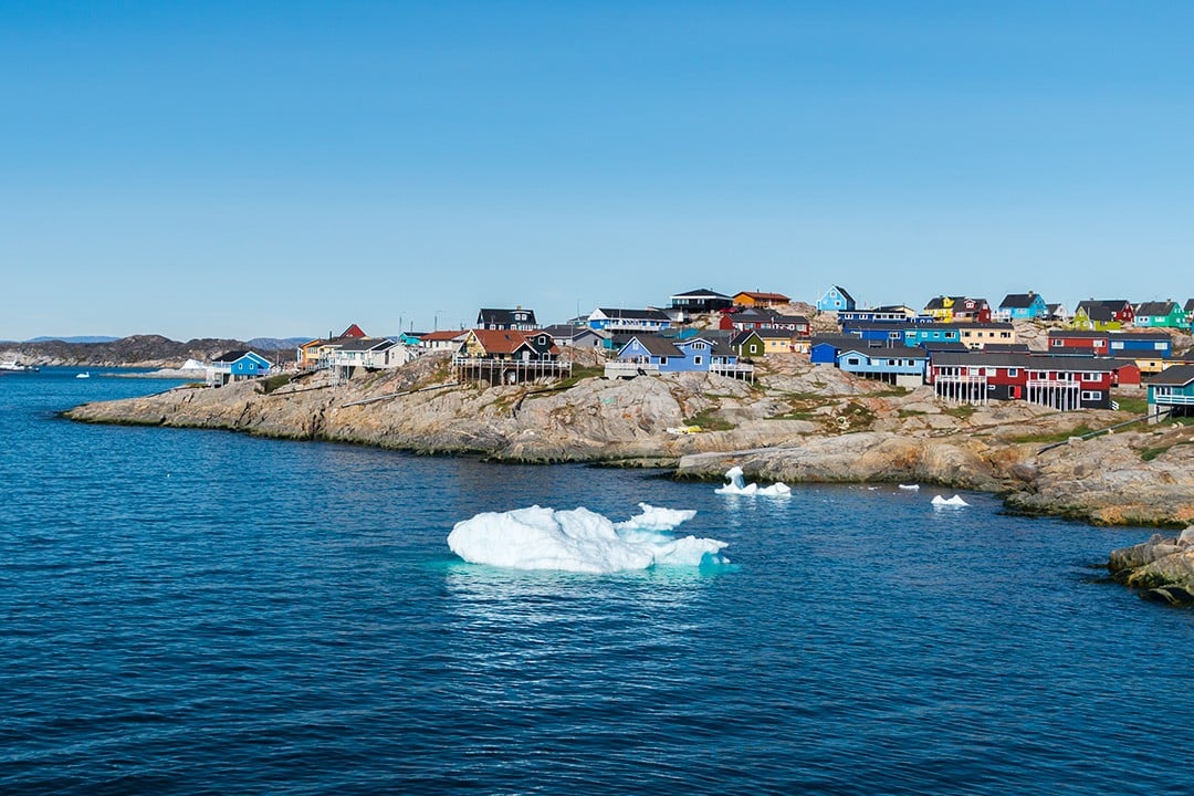
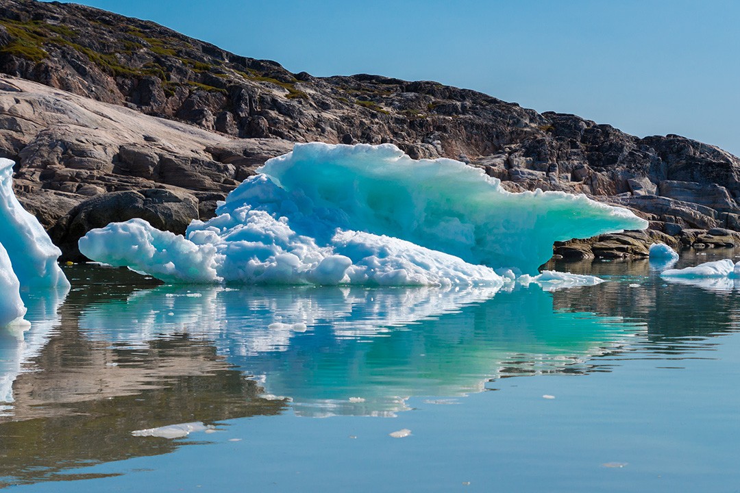
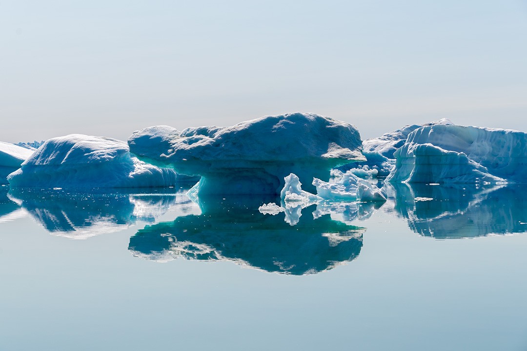
Ilulissat in Greenland is utterly unique in its location at the mouth of the UNESCO World Heritage site of Ilulissat Icefjord. Nowhere else in the world is it possible to wake up at a hotel, eat breakfast and then stroll down to such a giant body of ice.
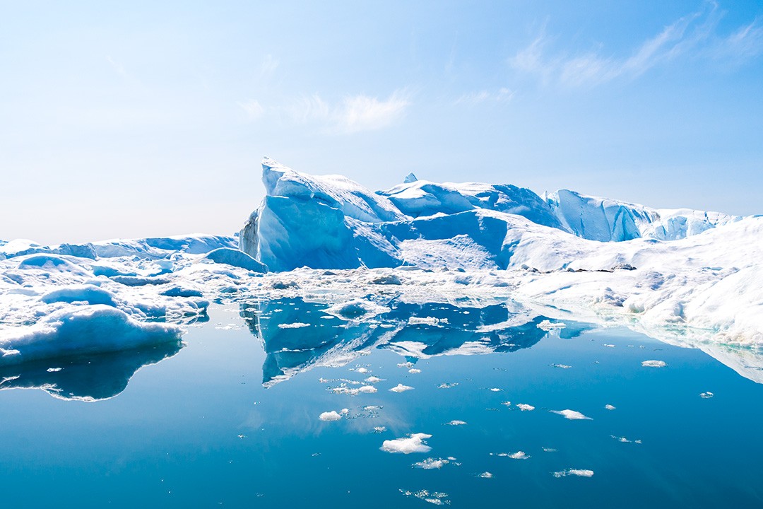
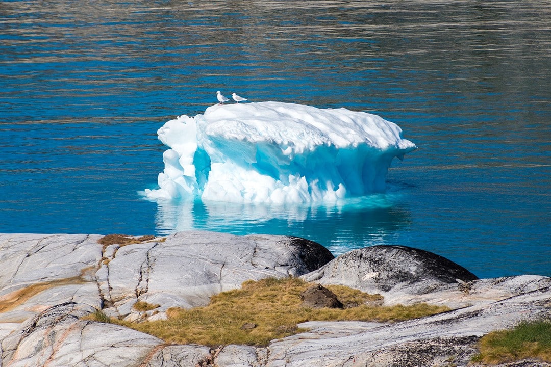
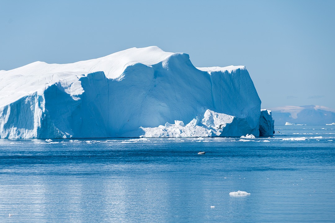
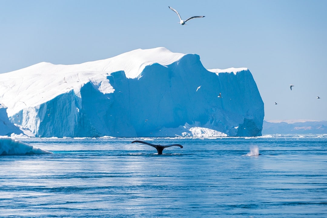
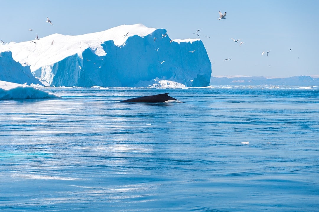
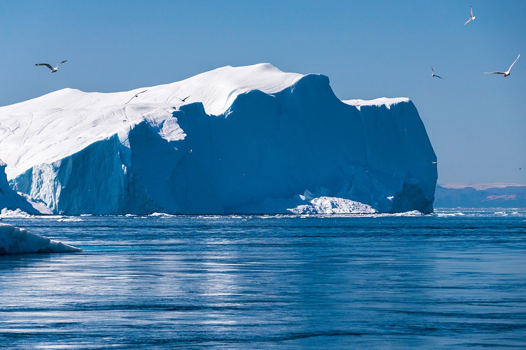
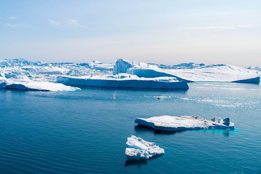
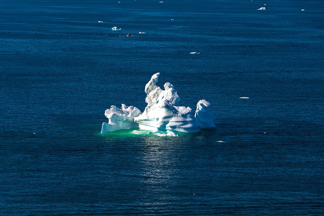
The combination of ice sheet and fast moving glacier calving into a fjord is a phenomenon that only occurs in Greenland and Antarctica. Annually, over 10% of all Greenland’s icebergs calve from Ilulissat Icefjord, producing more ice than any other glacier outside Antarctica.
Flowing from the icefjord is the Jakobshavn Glacier, which together with the icefjord sends 35 billion tonnes (46km3) of icebergs into the surrounding Disko Bay every year.
Behind the icefjord, inland to the east, sits the immense Greenland ice sheet (or icecap). This vast body of ice covers 1,710,000km2 (approximately 80%) of Greenland’s entire land surface.
This extraordinary natural wonder is remarkably accessible via a number of hiking trails. These are all easily reachable by foot and get as close as possible to the icefjord by skirting along the rocky coastline.
Following my adventures trekking the Arctic Circle Trail, I spent four days in Ilulissat visiting Eqi Glacier, iceberg sightseeing and exploring the hiking trails around town.
Hiking around Ilulissat
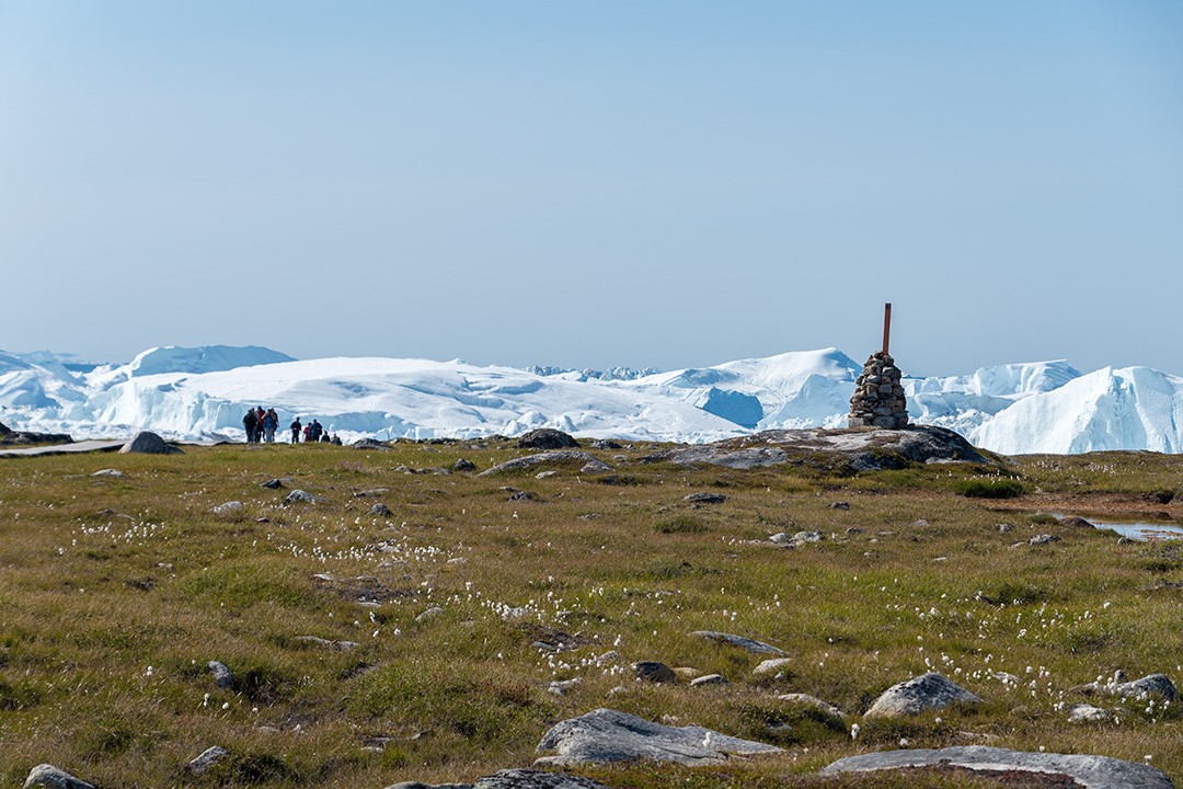
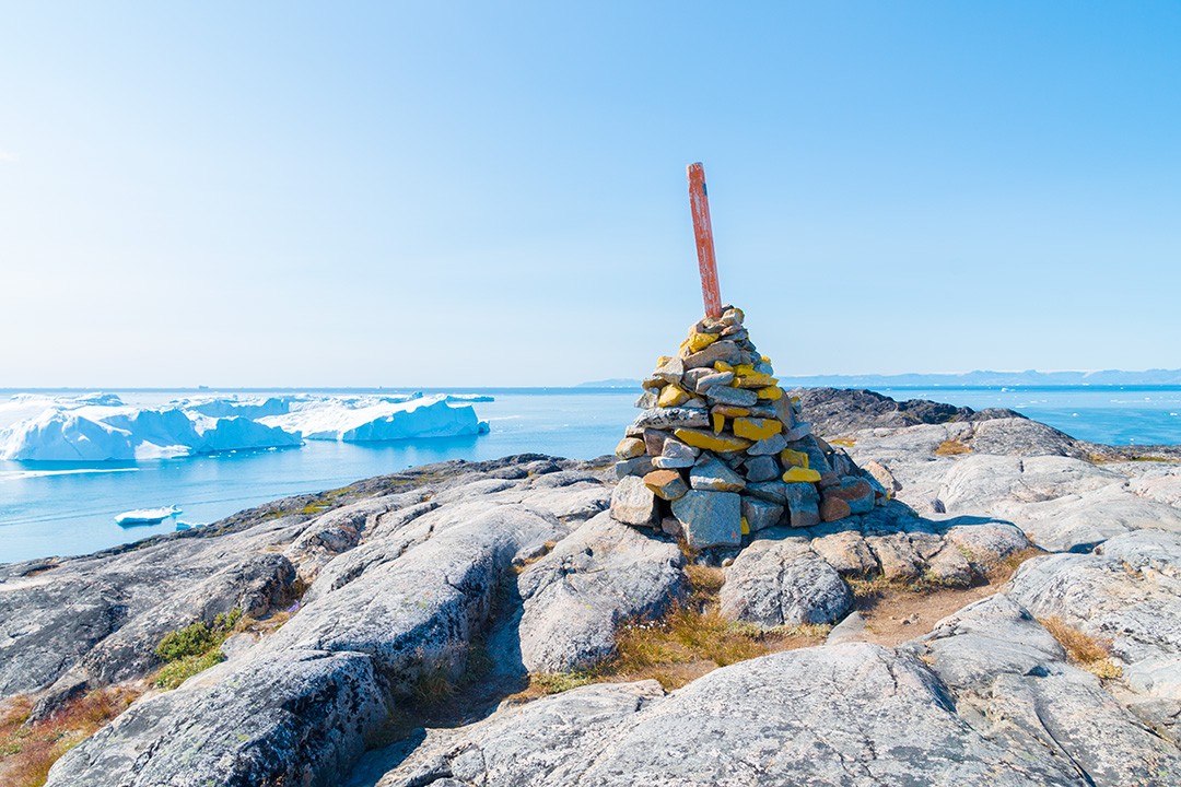
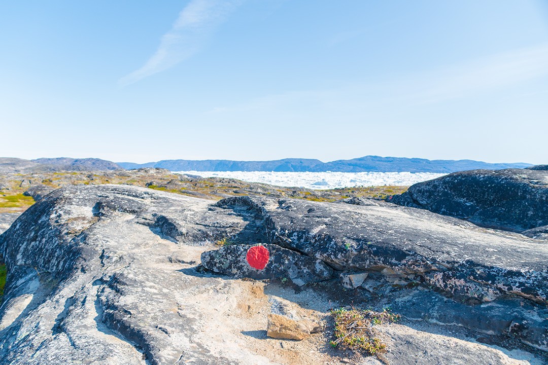
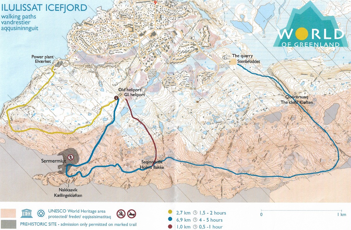
There are four main hiking trails in Ilulissat, all of which showcase a different side of the icefjord. They all converge at the Old Heliport where there is an information board and map. It is a 15-20 minute walk from the centre of Ilulissat.
Sermermiut World Heritage Trail
Distance: 1.2km
Duration: 1 hour
Start/finish: Old Heliport
Atlas & BOots
Sermermiut was an Inuit settlement, inhabited from as early as 600BC. It was abandoned in 1850 when the last remaining resident moved to Ilulissat, which was then known as Jakobshavn.
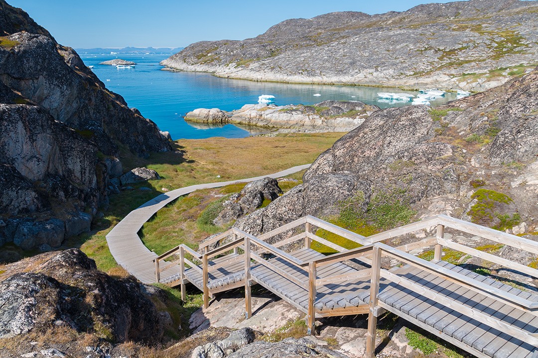
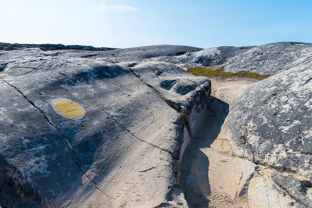
Today, the straightforward boardwalk World Heritage Trail to Sermermiut provides the easiest, fastest and most popular path to to the icefjord. It is also the only trail which is wheelchair accessible.
The boardwalk runs around the ruins of Sermermiut – where it’s still possible to see some remnants of the settlement – to an excellent viewpoint at Nakkaavik.
Nakkaavik translates as ‘the place to fall’, a spot where the elderly of the village would supposedly throw themselves off a cliff during times of hardship to make way for the younger members of the village.
Atlas & BOots
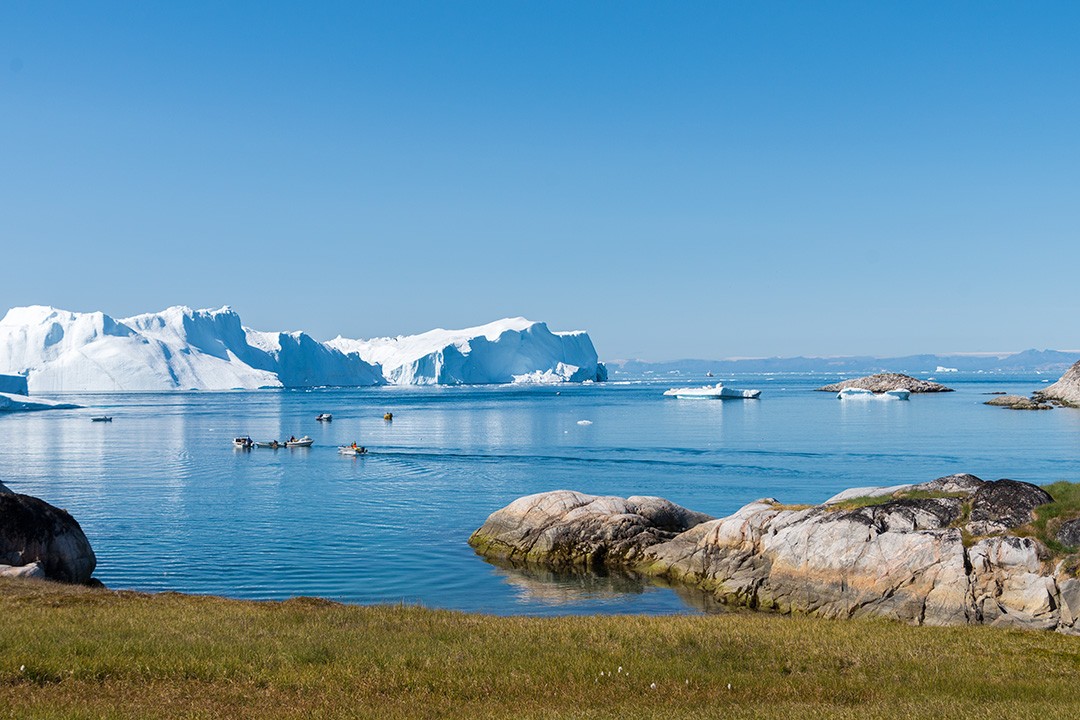
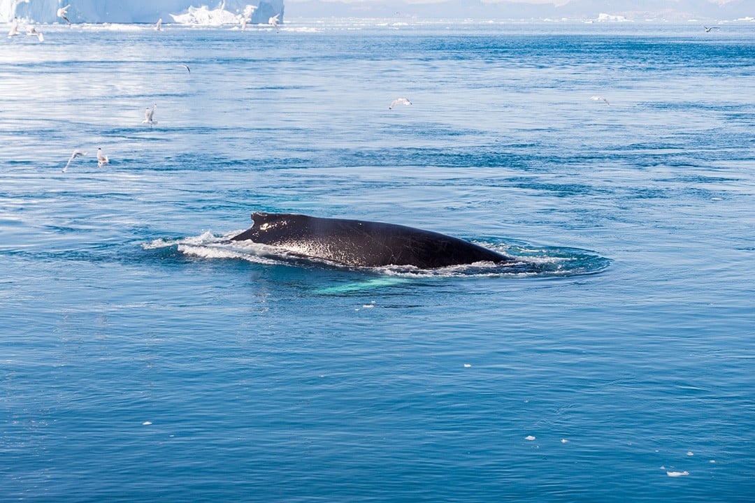
From there, it’s possible to scramble up various cliffs and escarpments to gain fine views of the icefjord. I sat there for over an hour watching three humpbacks play in the small bay.
Yellow Route
Distance: 2.7km
Duration: 1-2 hours
Start/finish: Old Heliport/Power Plant
Atlas & BOots
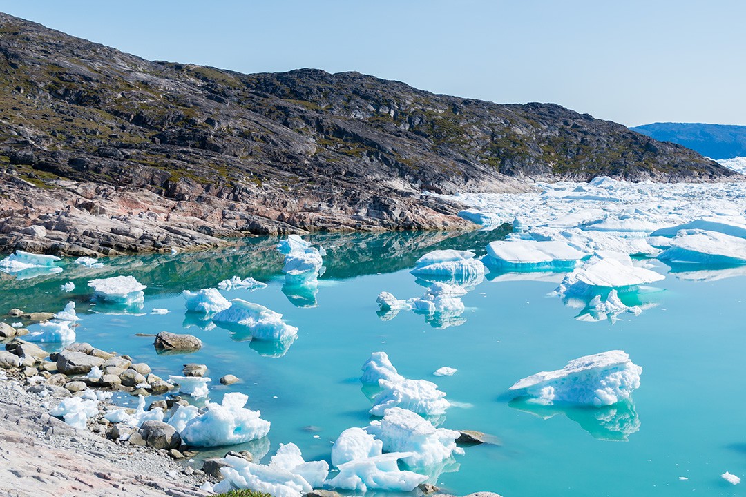
The Yellow Route offers an elevated view of the bay and icefjord around Sermermiut as well as wider vistas of the icebergs in Disko Bay. The trail quickly rises from the Old Heliport, revealing scores of gliding icebergs in the waters surrounding town.
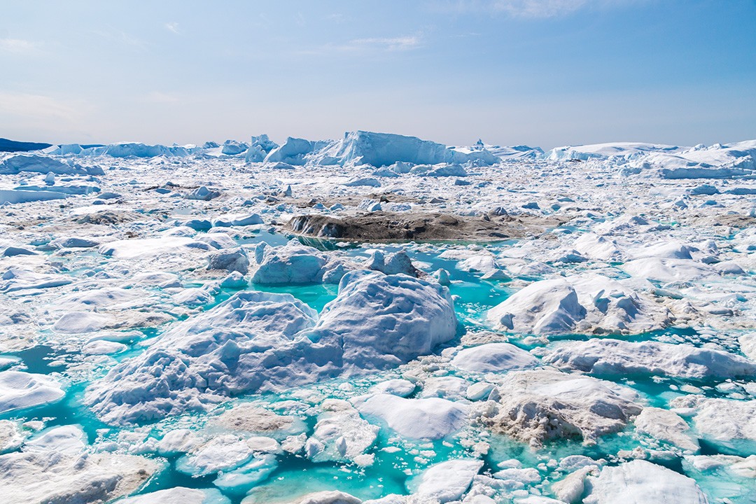
The trail follows the coastal cliffs as they bank round to the right. Below is the main waterway which carries the astronomical tonnage of ice out to sea every year. As such, it is always littered with icebergs.
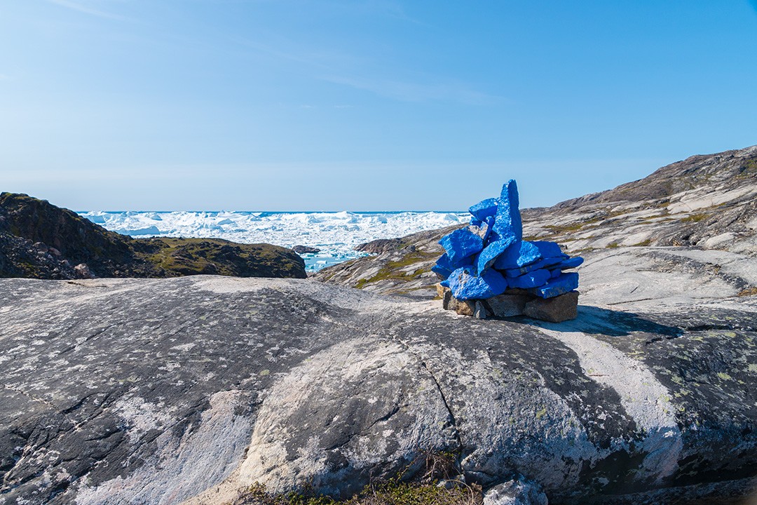
Blue Route
Distance: 7km
Duration: 2-3 hours
Start/finish: Quarry/Old Heliport
Atlas & BOots
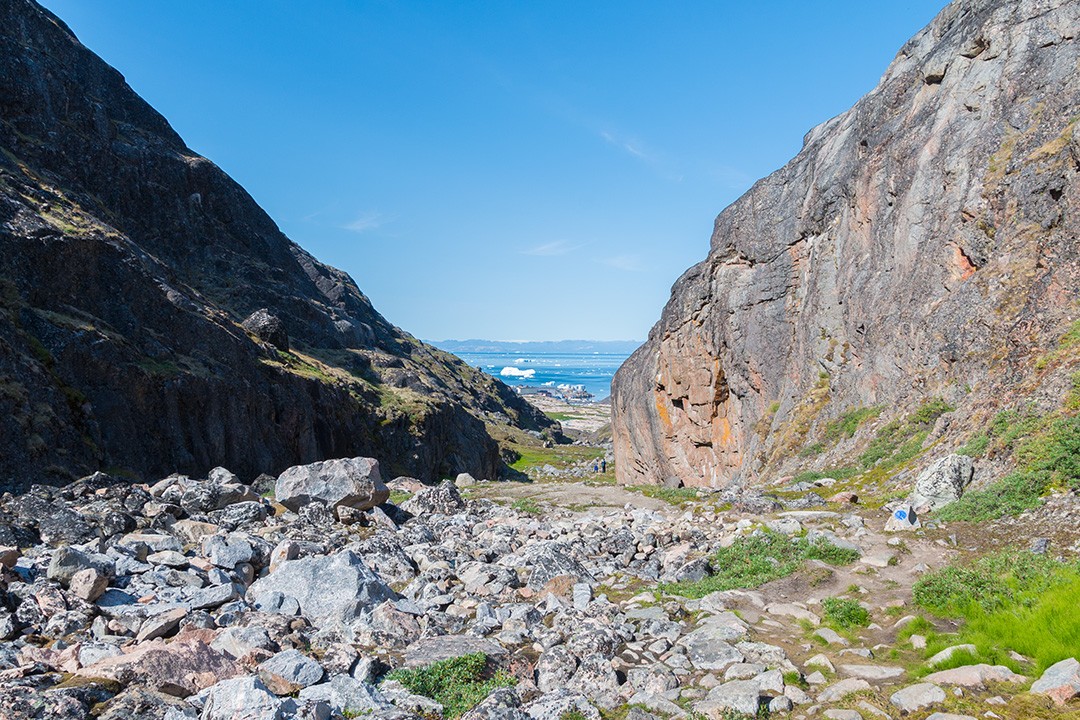
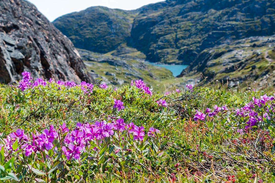
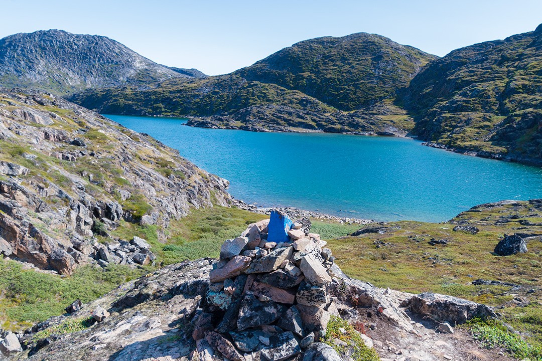
The Blue Route combines the best of all the hiking trails. I was advised to walk the trail in “reverse” and start at the quarry instead of the intersection of trails at the Old Heliport. It was great advice as walking this way meant I was always walking towards the views, which reveal themselves in spectacular fashion.
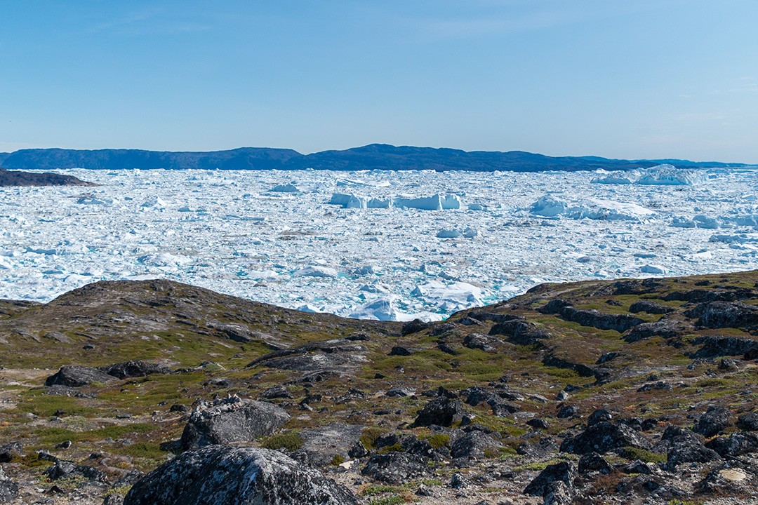
The trail first cuts its way through deep ravines banked by steep cliffs either side. As it rises, a series of emerald mountain lakes are exposed before the trail turns right. Here, the scenery opens up with superb views of the icefjord.
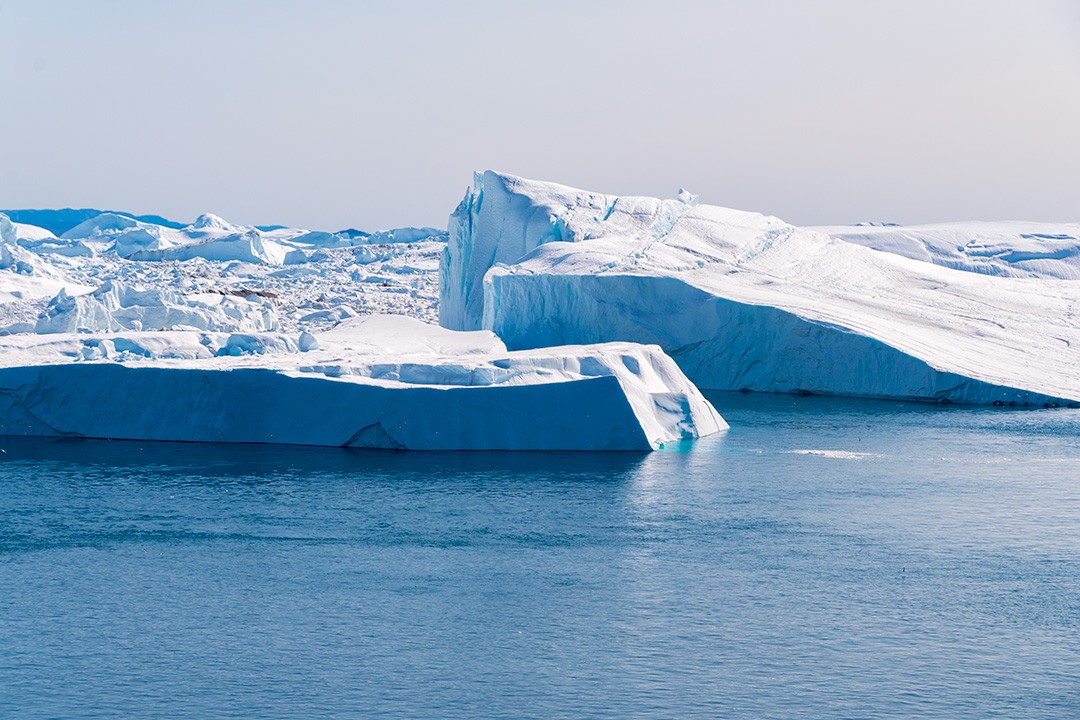
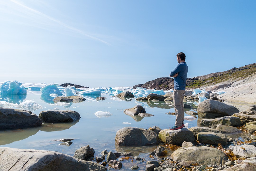
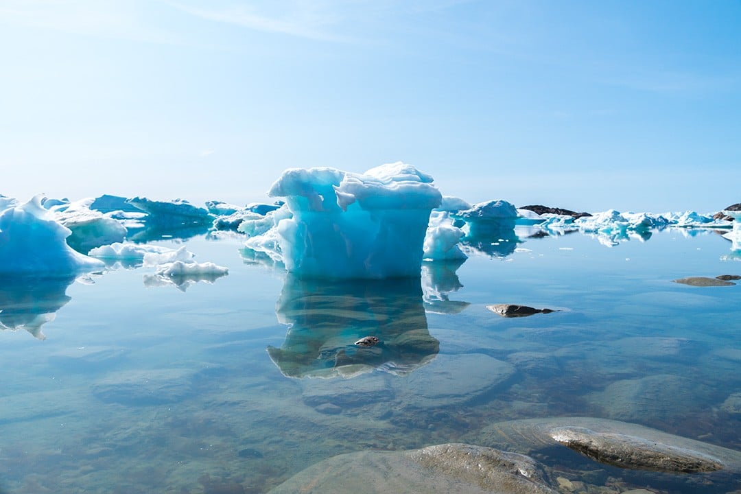
The trail reaches a small bay where the congested oceanfront is swamped with icebergs of all shapes and sizes. I stayed here for over an hour listening to and watching the icefjord.
Atlas & BOots
Every now and again a sharp crack would reverberate from deep within the ice mass before the still waters would begin pulsing from the force of fracture.
The trail then climbs up onto the cliffs and heads along the escarpment towards Sermermiut where it joins the boardwalk to the Old Heliport.
Red Route
Distance: 1km
Duration: 1 hour
Start/finish: Old Heliport/Blue Route
Atlas & BOots
The Red Route is not much more than an alternative route back from the Blue Route and doesn’t offer much in its own right. It is best walked as a combination with the other trails.
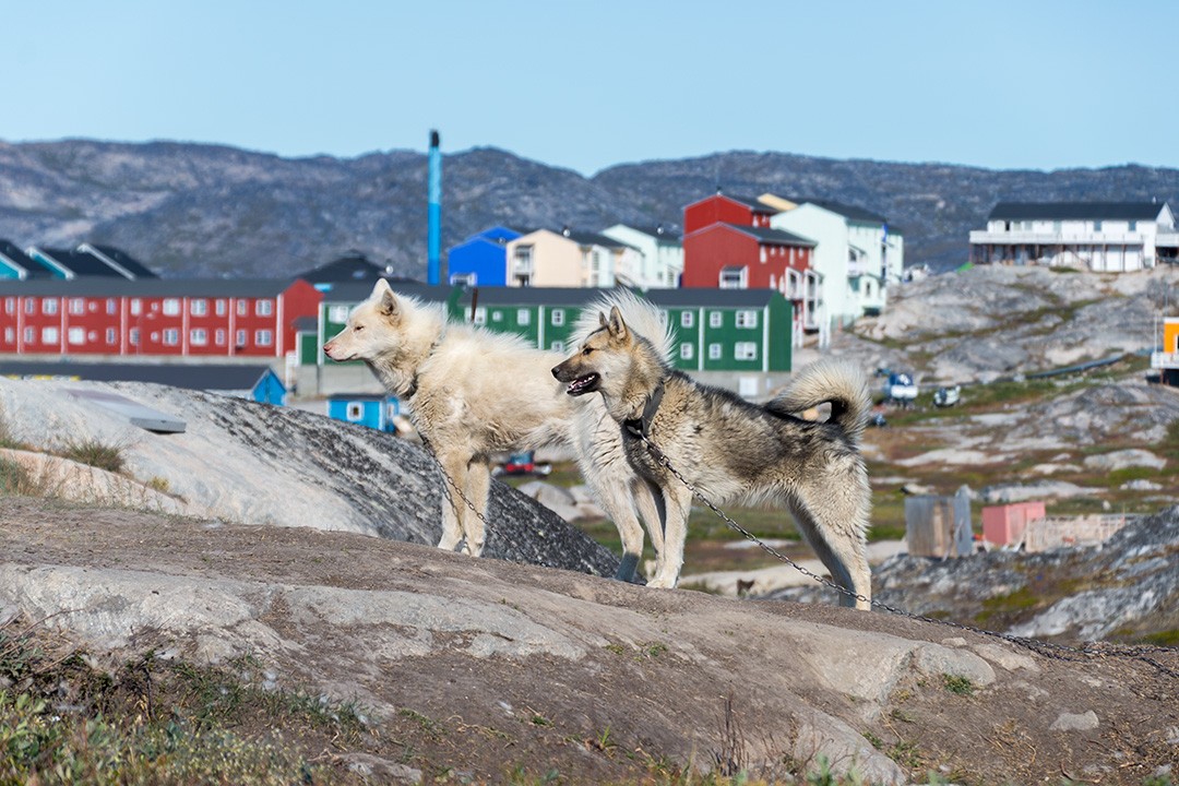
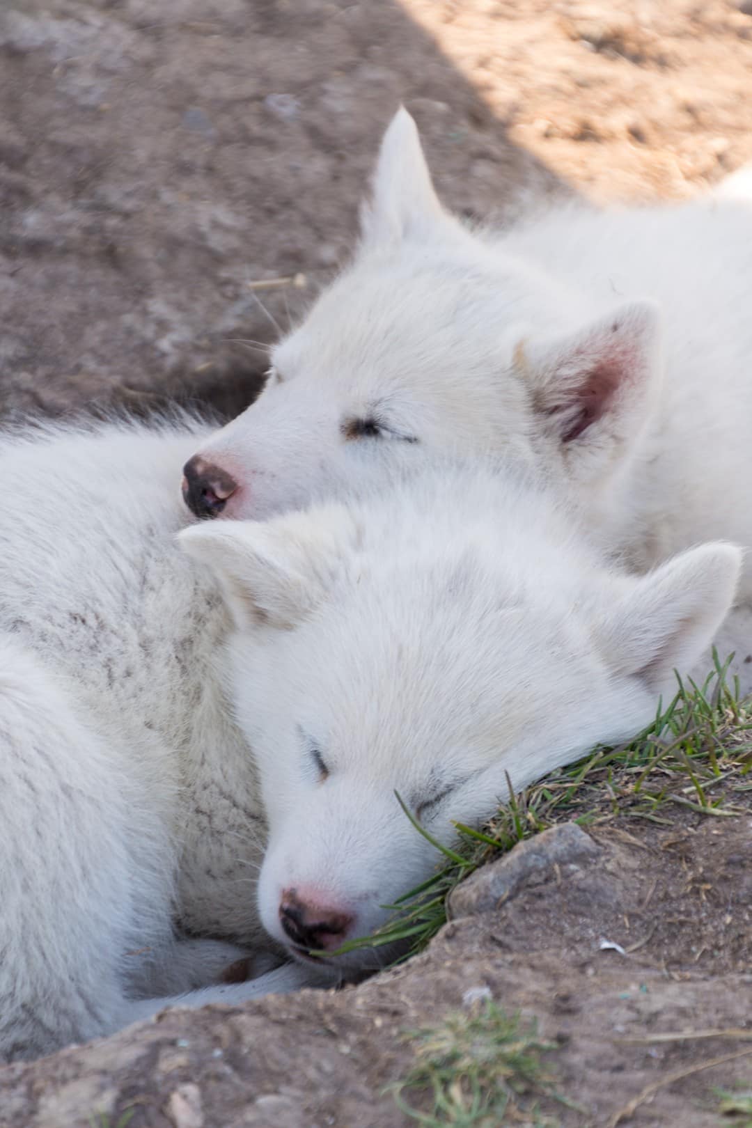
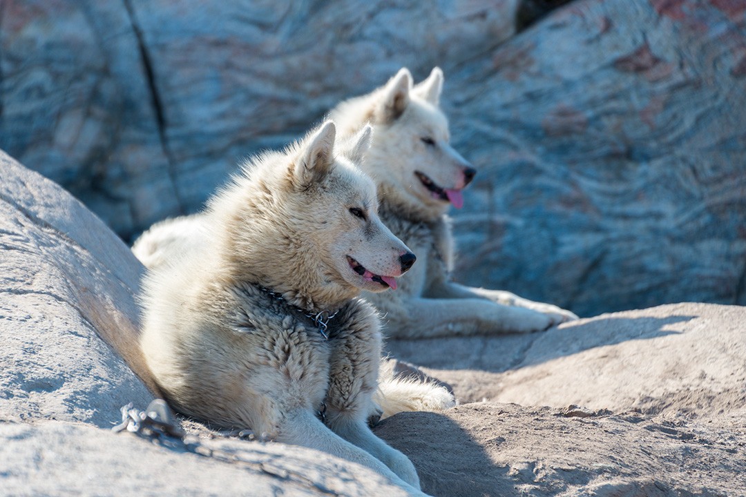
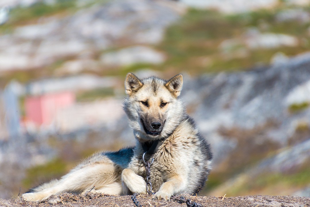
One benefit is that the route meanders through a large area of sled dog kennels, meaning you’ll see lots of charming hounds along the way.
Adult dogs should never be approached and are chained up for good reason – they’re working dogs and not necessarily friendly to strangers. However, the puppies are often untethered and there’s little anyone can do to stop them from bounding up to walkers, lolling tongues and all.
Hiking around Ilulissat map
The map below shows the hikes around Ilulissat plotted on a downloadable Google Map.
This map below, along with a more detailed town map, can be picked up from the World of Greenland office in the centre of town.
Hiking around Ilulissat: the essentials
What: Hiking around Ilulissat, Greenland.
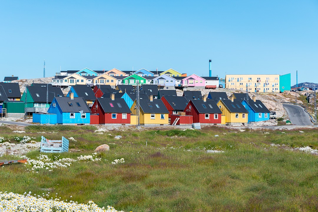
Where: Ilulissat is slowly beginning to meet accommodation demand with a growing selection of options. My visit during the peak month of July was a last-minute decision so most of the hotels were fully booked. With few options left, I stayed at Ilulissat Apartment, a basic self-catering apartment 10 minutes’ walk from the centre of town.
Other popular but more expensive hotels include Hotel Hvide Falk, Hotel Arctic and Hotel Icefiord. There is also a growing number of Airbnb options available throughout town. Click here to get a discount on your first stay.
Booking.comWhen: The best time for visiting and hiking around Ilulissat is from mid-June to mid-September when the weather is at its best for spotting whales, hiking, kayaking and witnessing the famed midnight sun. It’s also the busiest time of season with hotels and lodges selling out fast so it’s best to book ahead.
How: I flew to Kangerlussuaq from London via Copenhagen in Denmark. From there I booked an internal flight to Ilulissat with Air Greenland who essentially have a monopoly on domestic flights in Greenland. Book via Skyscanner.
Enjoyed this post? pin it for later…
Guidebooks on Greenland are hard to come by, but if you’re planning on doing any trekking beyond Ilulissat then we recommend the Cicerone Guide to Trekking in Greenland