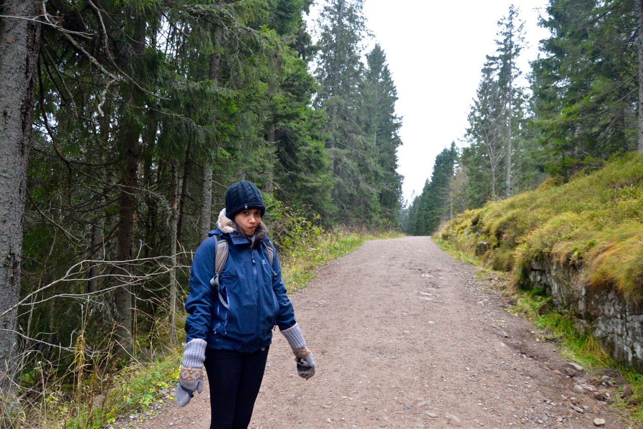
A comprehensive network of Oslo hiking trails is accessible from the city metro system. All offer great access to the outdoors and are easy to reach from the city centre
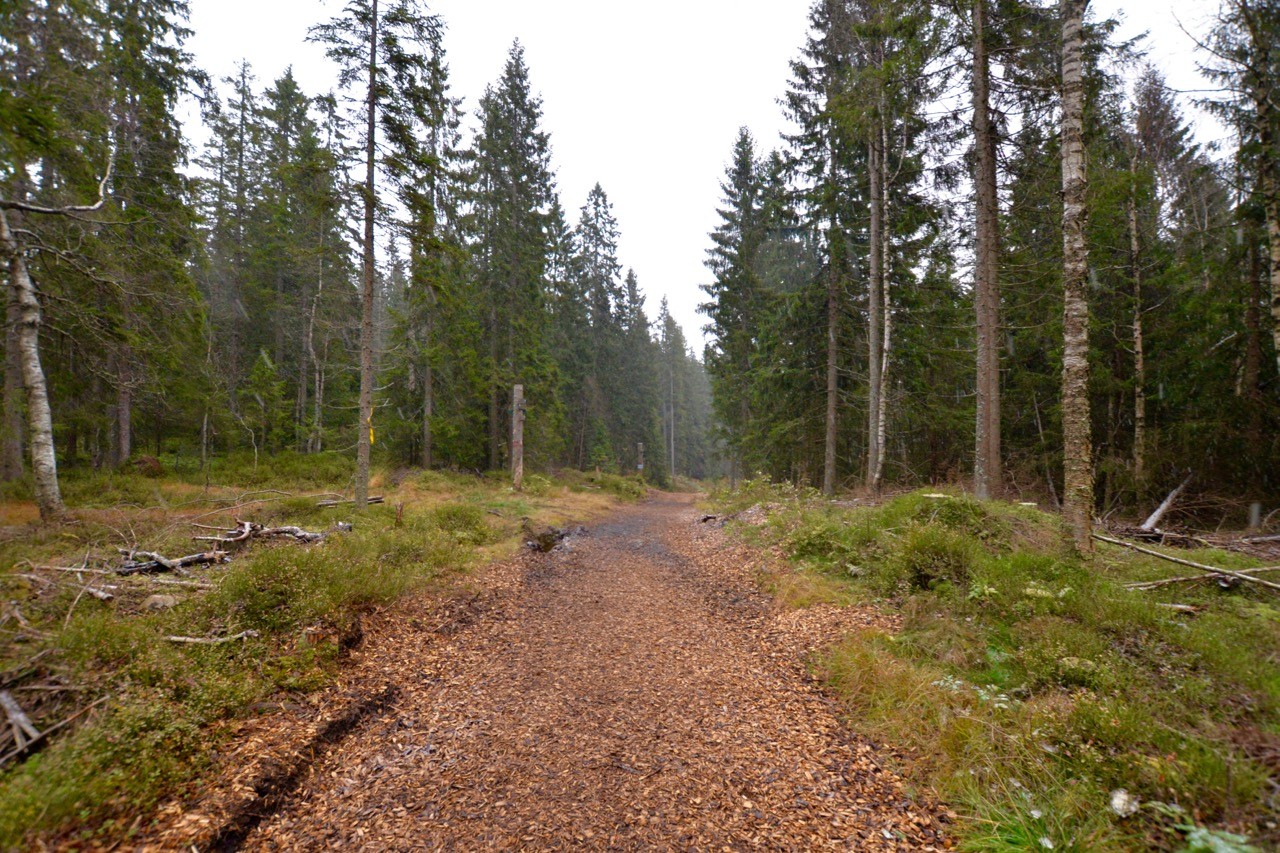
The hiking trails around Oslo are similar to those in the rest of the country: clearly signposted, well maintained and often bookended with cosy cabins serving hot drinks and hearty food.
Trails in Norway are maintained by the excellent Norway Trekking Association (DNT). Their crowdsourced route planning sister site UT.no is also a great online resource full of hiking ideas, tips and maps.
The Norwegians know how to do hiking, which is one of the reasons I keep going back. Here are five of the best Oslo hiking trails, all accessible from the city’s T-Bane metro system.
Østmarka
Distance: 12-15km (7.5-9.5mi)
Time: 3-4 hours
Transport: Metro line 2 to Ellingsrudåsen
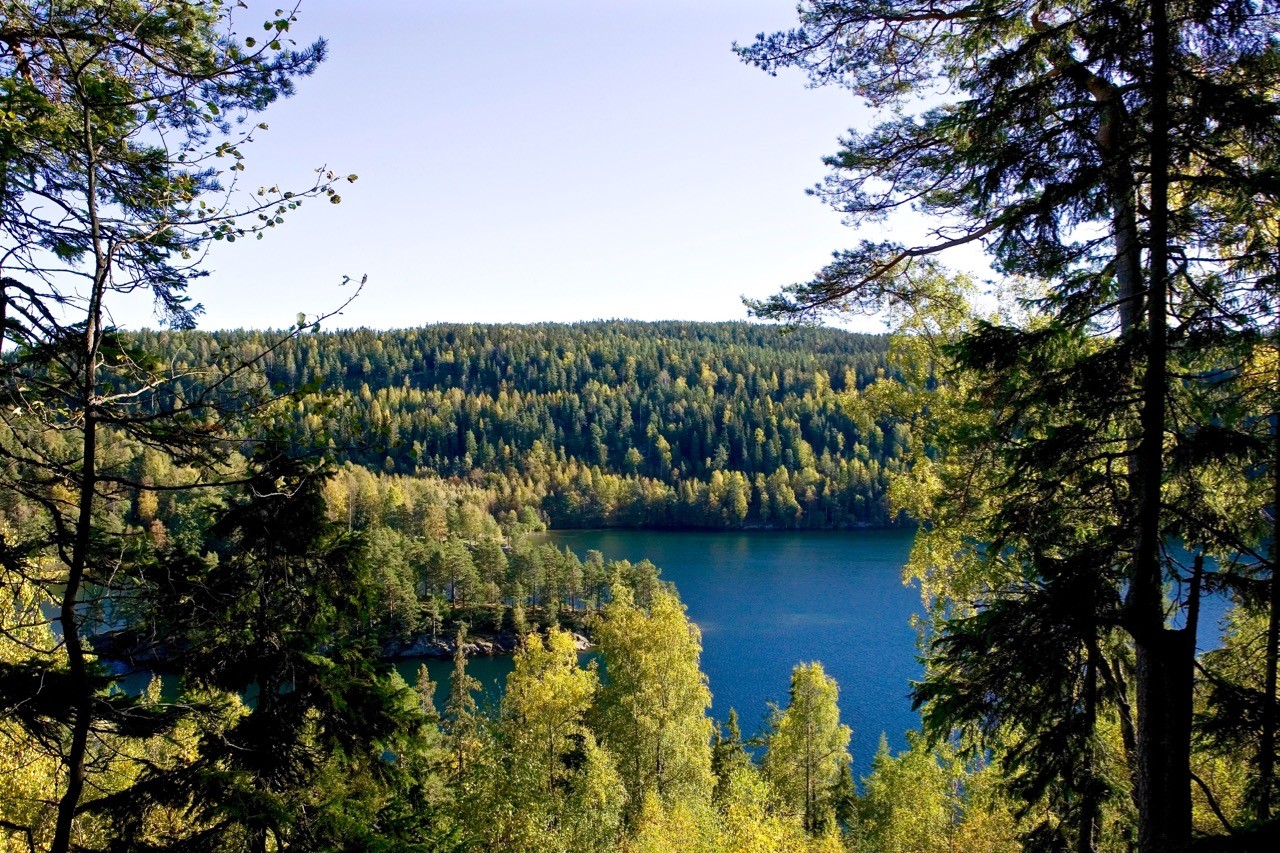
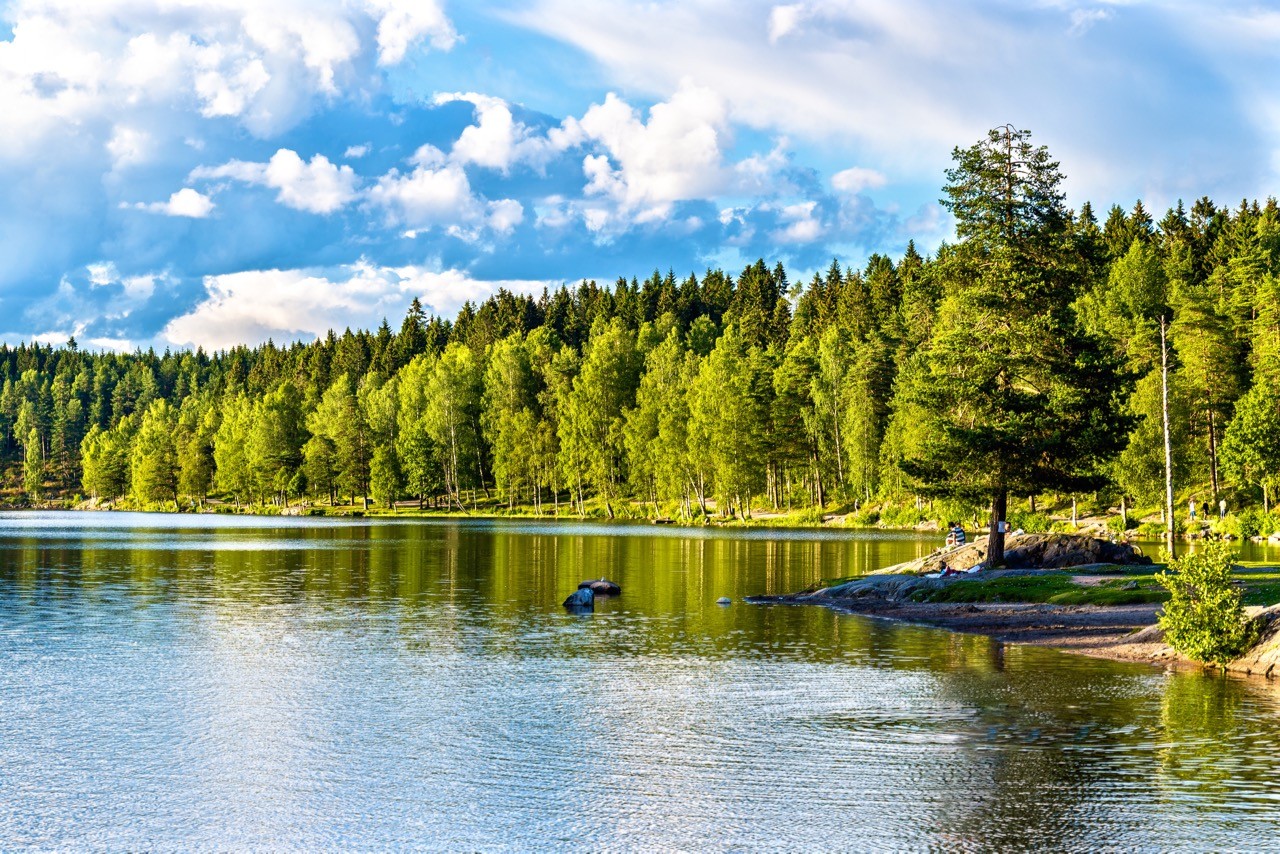
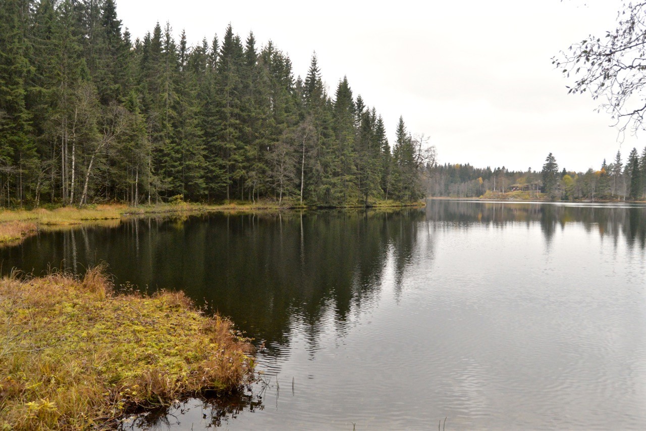
Nøklevann lake in the northwestern corner of Østmarka (Image: Dreamstime)
This metro line takes you to the northwestern corner of the Østmarka forest. Only a small part of the Østmarka is situated within the Oslo municipality, but you can access much more of it by hiking south from Ellingsrudåsen station towards the Mariholtet Sportsstue. The 6km (3.7mi) route follows the beginnings of the Nord Elvåga lake to the sports lodge and café, where you can enjoy a pastry and hot drink before deciding how to continue.
You can return the same way to Ellingsrudåsen, cut west 6km (3.8mi) towards Bøler on line 3 or loop west and then north to another station on line 2. Trosterud for example is a 7.5km (4.7mi) walk from the Mariholtet Sportsstue. Both routes will take you alongside the pretty Nøklevann lake.
More info: visitoslo.com or ut.no
Nordmarka: Skjennungstua
Distance: 9km (5.5mi)
Time: 2-3 hours
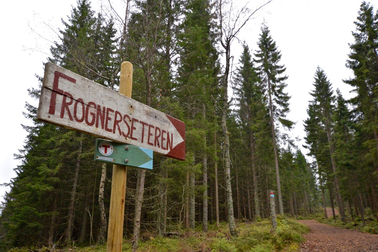
Transport: Metro line 1 to Frognerseteren
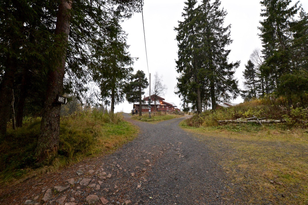
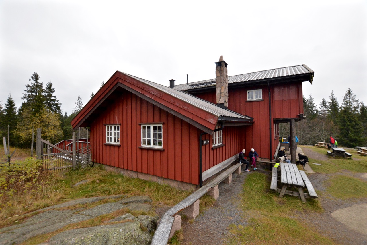
Approaching the welcoming Skjennungstua cabin and cafe in the Nordmarka
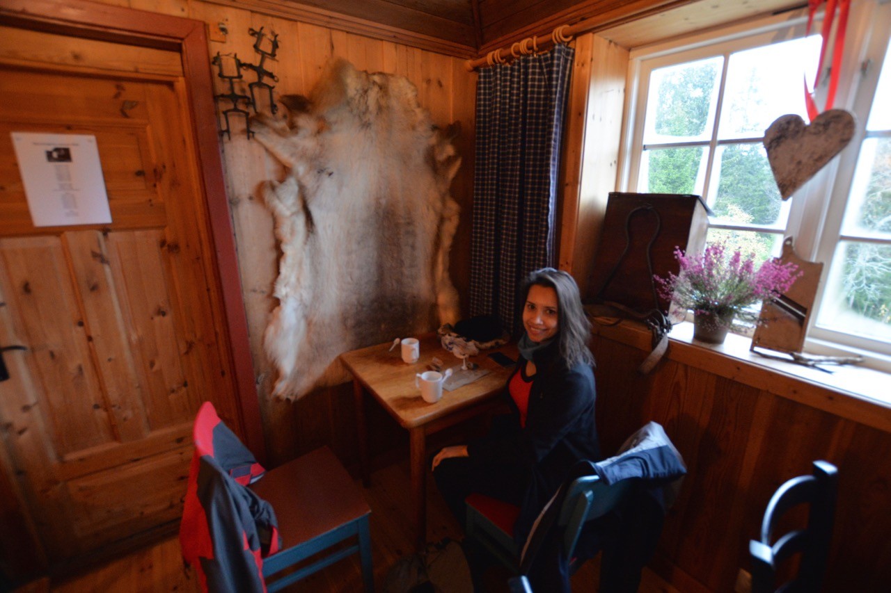
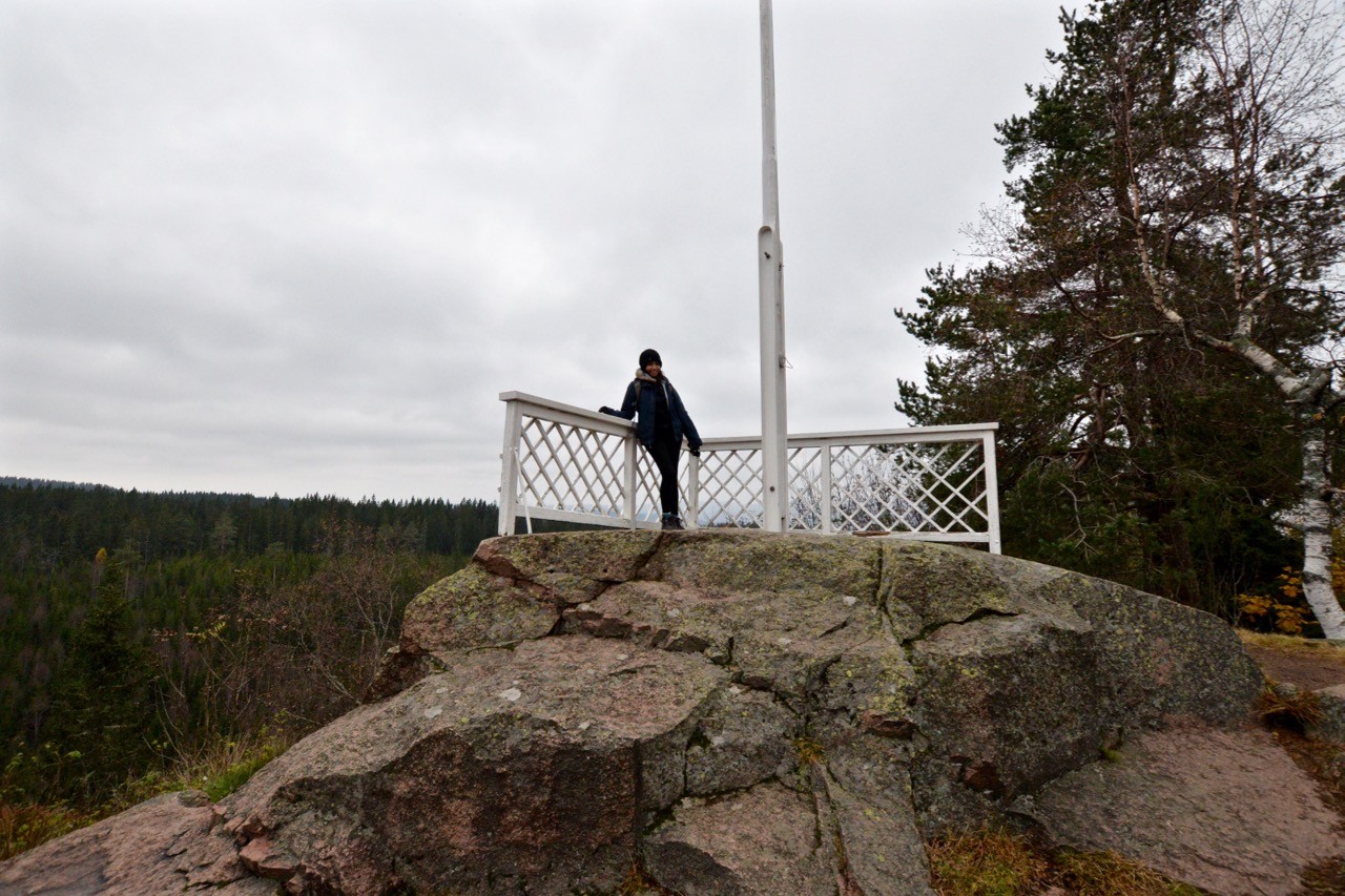
To the north of Oslo is the forested region called Nordmarka. During our latest trip to Oslo, we took a long afternoon to complete a round trip hike from Frognerseteren to Skjennungstua. There are lots of different route options available – all of them well signposted.
We threw in an extra couple of kilometres by taking a longer route on the way past a small lake called Tryvann. At Skjennungstua, there is a small log cabin with toilets, a café, outside seating and a great viewpoint across the forest.
More info: skjennungstua.no
Kolsåstoppen
Distance: 13km (8mi)
Time: 3 hours
Transport: Metro line 3 to Kolsås
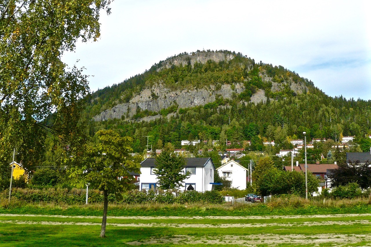
Kolsåstoppen has hundreds of climbing routes (Image: Chell Hill, CC BY 2.5)
A hike to the top of the prominent 387m (1,270ft) Kolsåstoppen (Kolsås ridge) provides excellent views across Oslo. It takes about an hour and half to hike the 5km (3mi) to the top of the ridge. You could return the way you came or choose another route to another metro line. A good option is to continue eastwards to Østerås at the end of line 2.
The Kolsåstoppen naturreservat (nature reserve) is not as forested as many of the other Oslo regions, as pine forests are not well suited to the hard volcanic bedrock found in the area. However, it does make for excellent rock climbing. The Øvre Sydstup face on the southern wall of Kolsåstoppen has more than 200 climbing routes alone.
More info: wandermap.net
Lillomarka
Distance: 15-22km (9.3-13.7mi)
Time: 4.5-6 hours
Transport: Metro line 5 to Grorud or Vestli
Steinbruvannet lake in the Lillomarka (Image: Mathias Stang, CC BY 2.5)
You don’t necessarily have to go the end of the line to access the excellent Lillomarka woodlands. Any of the last seven or eight stops on the line make good starting points for a hike into the Lillomarka recreational area. A good route is northwards to the Lilloseter Sportsstue ski lodge and café via the Steinbruvannet lake and Slattumsrøa naturreservat (nature reserve). If you start from the Grorud metro stop the route is shorter and more direct.
More info: lilloseter.no
Nordmarka: Ullevålseter
Distance: 11km (6.8mi)
Time: 3 hours
Transport: Metro line 5 to Sognsvann
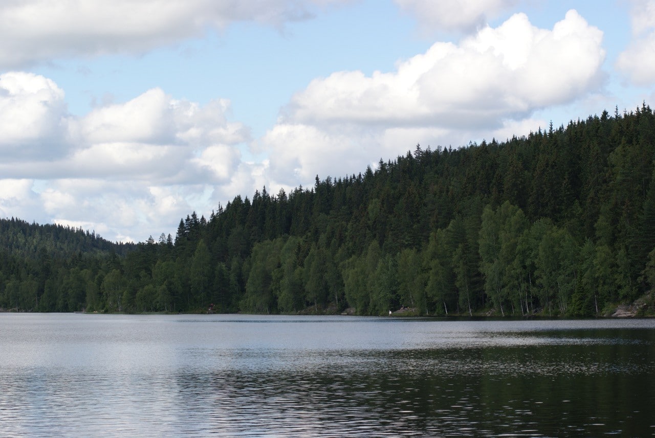
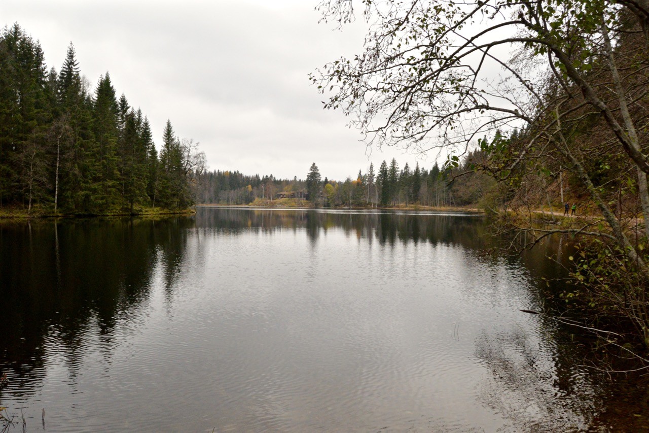
Sognsvann lake in the Nordmarka to the north of Oslo (Image: Dreamstime)
Another excellent hike through the Nordmarka is the route from Sognsvann to Ullevålseter. The forest is a bit more open here, largely due to the Sognsvann lake. It has a serene setting, banked by pine forest on all sides. The lake is well used throughout the year as in the summer it’s (just) warm enough for swimming while in the winter it can be skated on once frozen. There are several routes around the lake to the popular and cosy cabin at Ullevålseter.
More info: ullevalseter.no
Oslo hiking trails: the essentials
What: Exploring Oslo hiking trails from the city’s metro system.
Where: We stayed at Scandic Vulkan Hotel, a contemporary and eco-friendly hotel in the vibrant neighbourhood of Vulkan, not far from the centre of Oslo. The hotel is Norway’s first Energy Class A hotel – meaning that it generates almost all of its own energy.
The stylish rooms have floor to ceiling windows providing views across the surrounding neighbourhoods while the breakfasts – complete with waffle maker and cappuccino machines – are bountiful! Next door is the Mathallen food hall with a range of boutique restaurants and bars as well as the river Akerselva, perfect for post-breakfast walks.
When: I’ve visited Oslo in the summer and autumn and like most European cities, it can be visited year-round. However, for the best weather, spring and summer (May to August) are the best times to visit. Norway’s weather is as bad as Britain’s, so out of season you can expect the days to be cold and wet beneath dark skies.
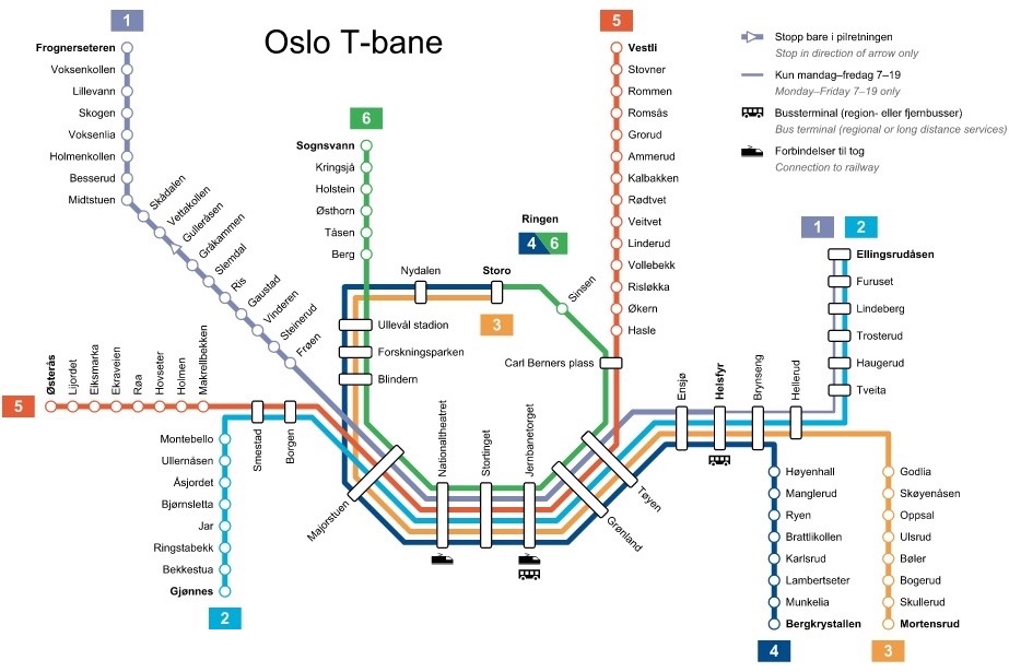
How: It’s worth buying an Oslo Pass which includes free travel on all public transport. This can be used to access any of the Oslo hiking trails above with a single trip from any of the metro stations in the city centre such as Jernbanetorget, Stortinget and Nationaltheatret and Majorstuen.
The pass comes in three denominations:
24 hours: 335 NOK (40 USD)
48 hours: 490 NOK (58 USD)
72 hours: 620 NOK (74 USD) – we opted for this one
We flew from London to Oslo via a budget airline. Book via Skyscanner for the best prices.
Oslo is served by three airports: Gardermoen, Torp Sandefjord and Rygge. We recommend using Gardermoen if possible as the other two are further out and require a longer and more expensive transfer. All airports are served by trains and buses. More information can be found on the Visit Oslo website.
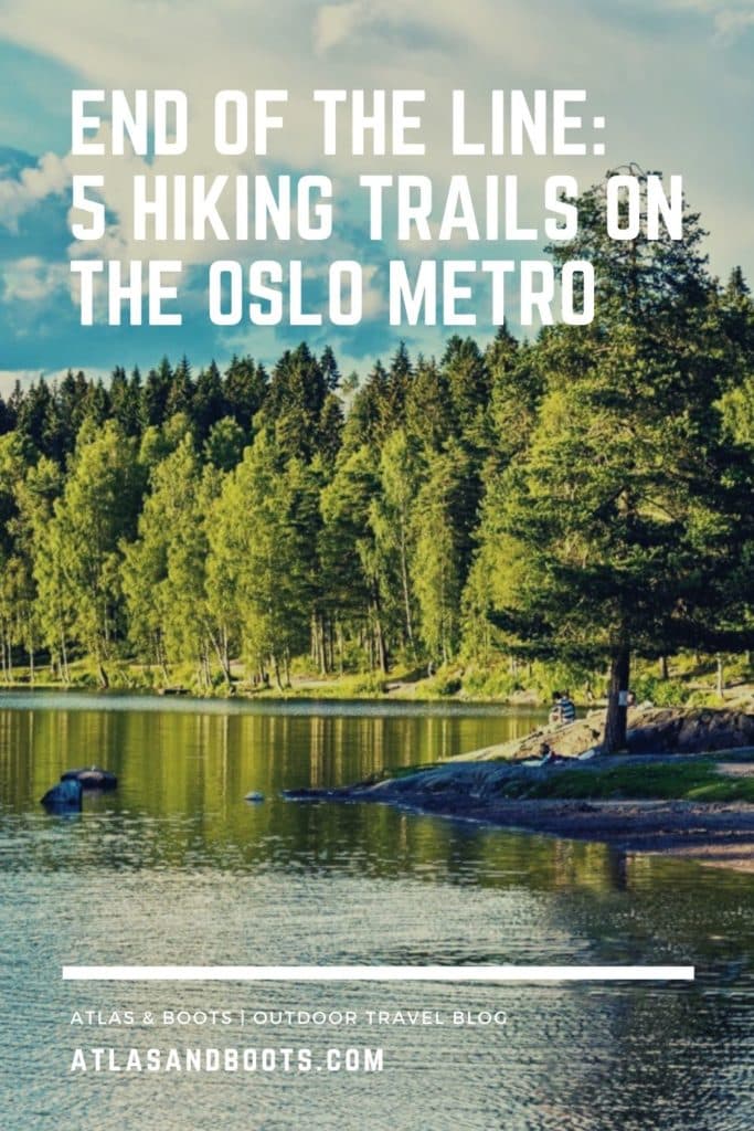
Enjoyed this post? pin it for later…
For more things to do in Oslo get the Lonely Planet Guide to Norway.