I finally got around to hiking England’s Coast to Coast Walk. Only, as the trail practically runs past my house, I did things a little differently
Feeling restless after months under lockdown, and loosely inspired by Laurie Lee’s As I Walked Out One Midsummer Morning, I decided to walk across England… twice.
In Lee’s memoir, he walks out from his Cotswolds home and embarks on an epic foot journey that takes him across southern England to Spain where he spends a year tramping from the north to the south coast.
In my case, travel restrictions meant I wouldn’t be heading for Spain, so I picked up the Coast to Coast trail that practically runs past my house. Determined to make a sizeable journey by foot alone, I walked the route twice.
Related articles:
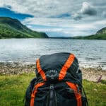
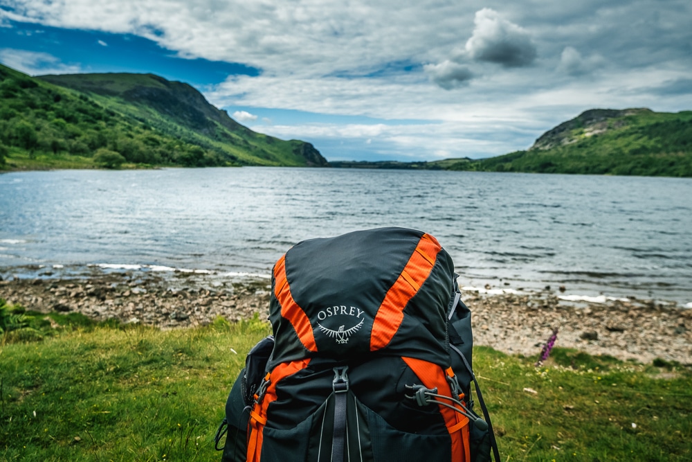
Coast to Coast kit list: what’s in my backpack
Coast to Coast Walk tips: all you need to know
Britain’s best long-distance footpaths
100 greatest hikes in the Lake District National Park
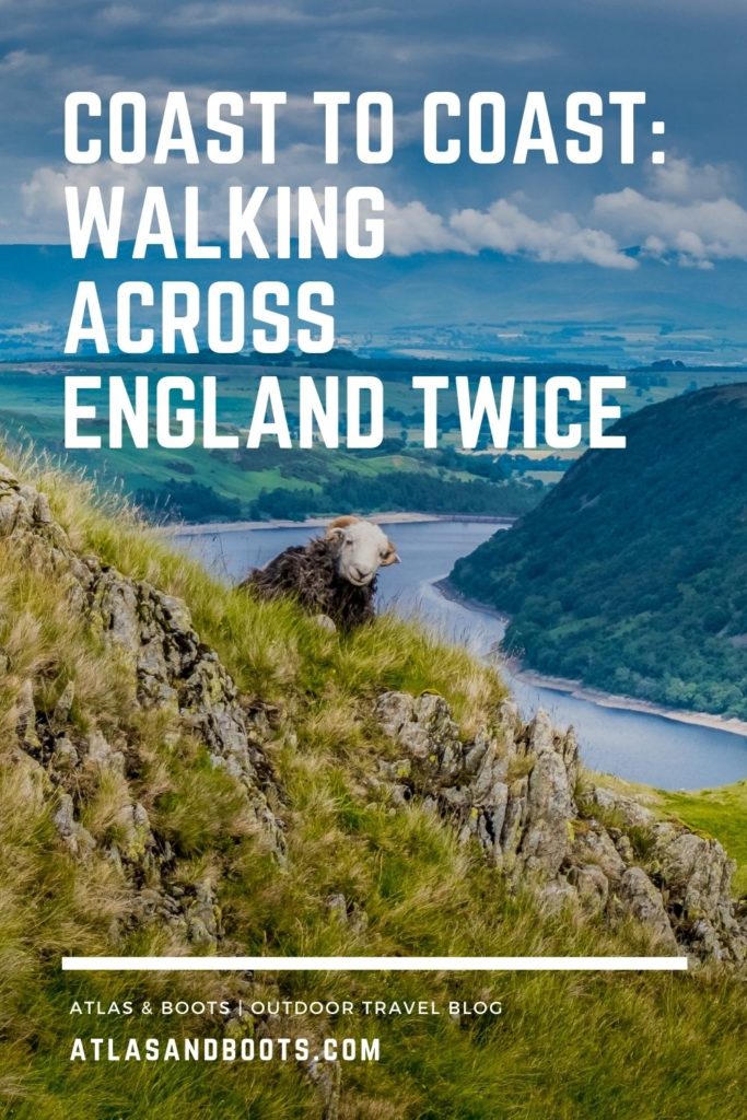
England’s Coast to Coast Walk
Distance: 302km (188mi)
Duration: 10-14 days
Ascent/descent: 8,880m (29,134ft)
Start: St Bees, Cumbria
End: Robin Hood’s Bay, Yorkshire
First described by Alfred Wainwright in his 1973 pictorial guidebook, England’s Coast to Coast Walk traverses northern England from St Bees Head in Cumbria to Robin Hood’s Bay in Yorkshire.
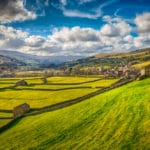
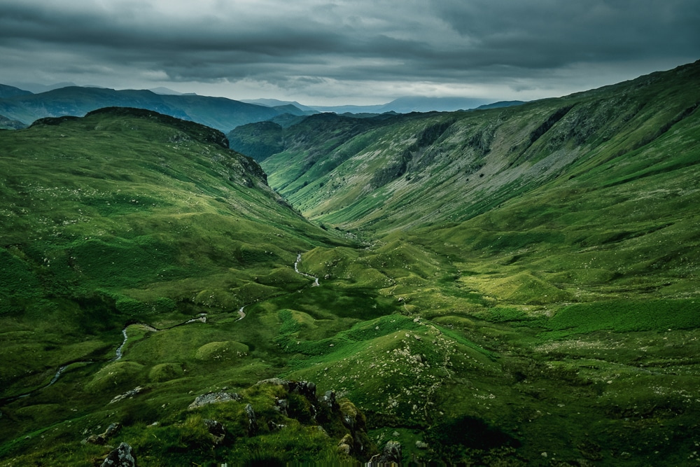
Neither a national trail nor a singular footpath, the unofficial and partly signposted 188-mile (302km) Coast to Coast Walk passes through three of England’s finest national parks: the Lake District, Yorkshire Dales and North York Moors.
Despite its unofficial status, the Coast to Coast Walk is one of the most popular of Britain’s footpaths. In 2004, it was voted the second-best walk in the world behind the Milford Track in New Zealand.
As I live on the trail, I chose to walk from my home in Richmond to Robin Hood’s Bay and back, and then from Richmond to St Bees and back again. That way I got to experience the trail in both directions.
I did consider walking it just once, but I thought I would rather spend a few extra days retracing my steps instead of wasting a day on public transport on either side. After so many months of relative confinement under England’s various lockdowns, I wanted to spend as much time as possible in the outdoors.
The entire trip took me 20 days in two legs: seven days to walk from Richmond to Robin Hood’s Bay and back and then 13 days to walk from Richmond to St Bees and back. In the process, I covered just over 600km (373 miles) and ascended 17,760m (58,270ft) – the equivalent of climbing Everest twice!
The trek is usually broken down into around 13 sections and traditionally walked west to east. However, it’s perfectly normal for walkers to adapt the route to suit their ability or schedules. I met walkers who were completing various sections a day at a time and others who had split three- or four-day segments across long weekends.
The below is a standard 13-day itinerary.
| Day | From/to | Distance | Duration | Ascent |
|---|---|---|---|---|
| 1 | St Bees-Ennerdale Bridge | 24km | 6-8 hrs | 1,105m |
| 2 | Ennerdale Bridge-Borrowdale | 23.5km | 6-8 hrs | 715m |
| 3 | Borrowdale-Patterdale | 25km | 7-9 hrs | 1,225m |
| 4 | Patterdale-Shap | 25km | 7-8 hrs | 1,123m |
| 5 | Shap-Kirkby Stephen | 33km | 8-9 hrs | 617m |
| 6 | Kirkby Stephen-Keld | 17.5km | 4-6 hrs | 645m |
| 7 | Keld-Reeth | 18km | 4-6 hrs | 643m |
| 8 | Reeth-Richmond | 17km | 4-5 hrs | 402m |
| 9 | Richmond-Danby Wiske | 23km | 5-6 hrs | 175m |
| 10 | Danby Wiske-Osmotherley | 20km | 4-5 hrs | 263m |
| 11 | Osmotherley-Blakey Ridge | 32km | 7-8 hrs | 986m |
| 12 | Blakey Ridge-Grosmont | 21km | 4-6 hrs | 286m |
| 13 | Grosmont-Robin Hood’s Bay | 24km | 5-7 hrs | 695m |
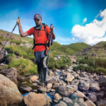
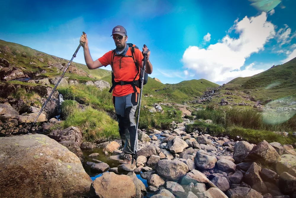
I was hiking at the height of summer and often wild camped, so I made the most of long days, regularly walking until late in the day. I often combined sections and covered up to 40km a day.
I found I was much quicker on the return legs of the trek, as I didn’t need to navigate because I recognised the route by then. It also helped that I know the Yorkshire Dales reasonably well so was able to make better time there too.
Part 1: Richmond-Robin Hood’s Bay-Richmond
Distance: 228km (142mi)
Duration: 7 days
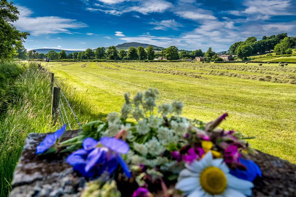
I began my journey on a Sunday evening after waiting for a rainstorm to pass. The first part of the trek between Richmond and Ingleby Cross through the Vale of Mowbray was by far the least enjoyable. It is the least appealing scenery-wise and navigating over the dense farmland was tedious and slow going.
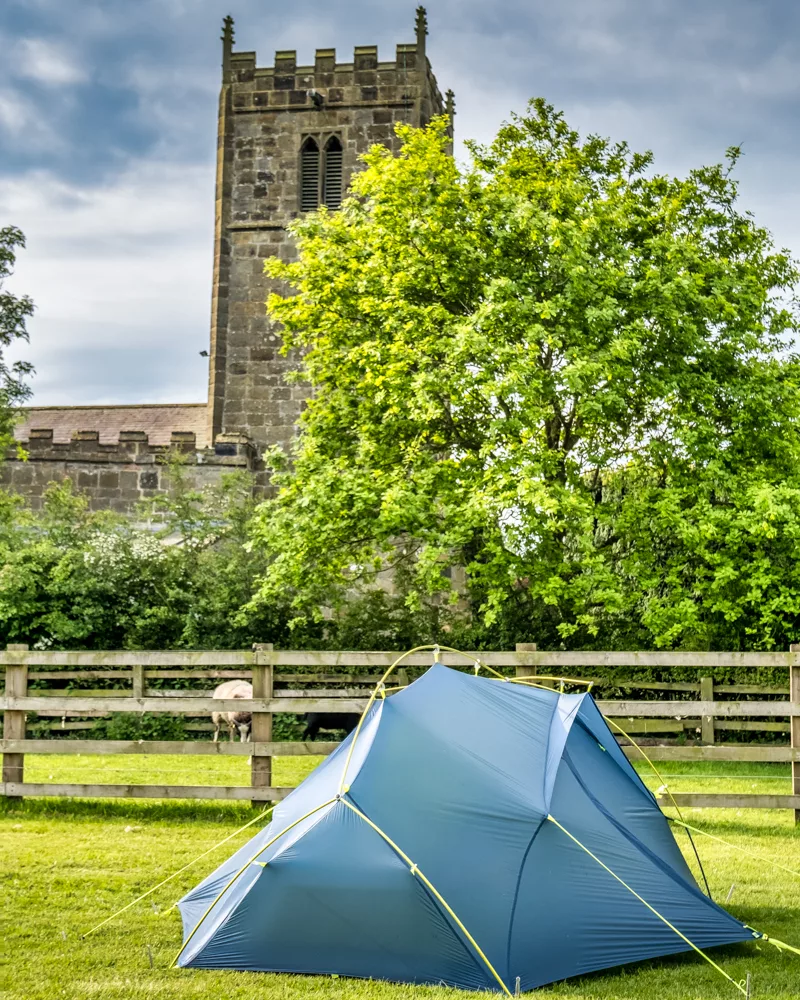
I camped at Church Holme Camping in Danby Wiske, a quiet site run by a lovely couple and their daughter. The following morning, I started on the trail again which continues in much the same vein across flat, rather featureless, farmland.
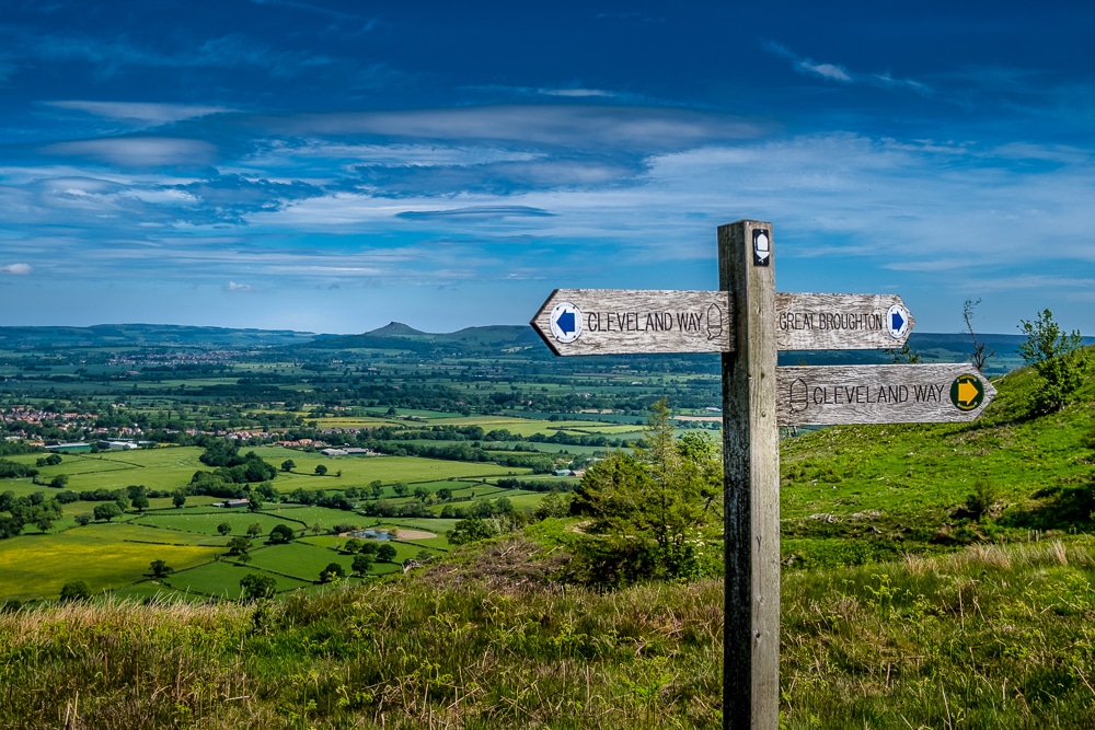
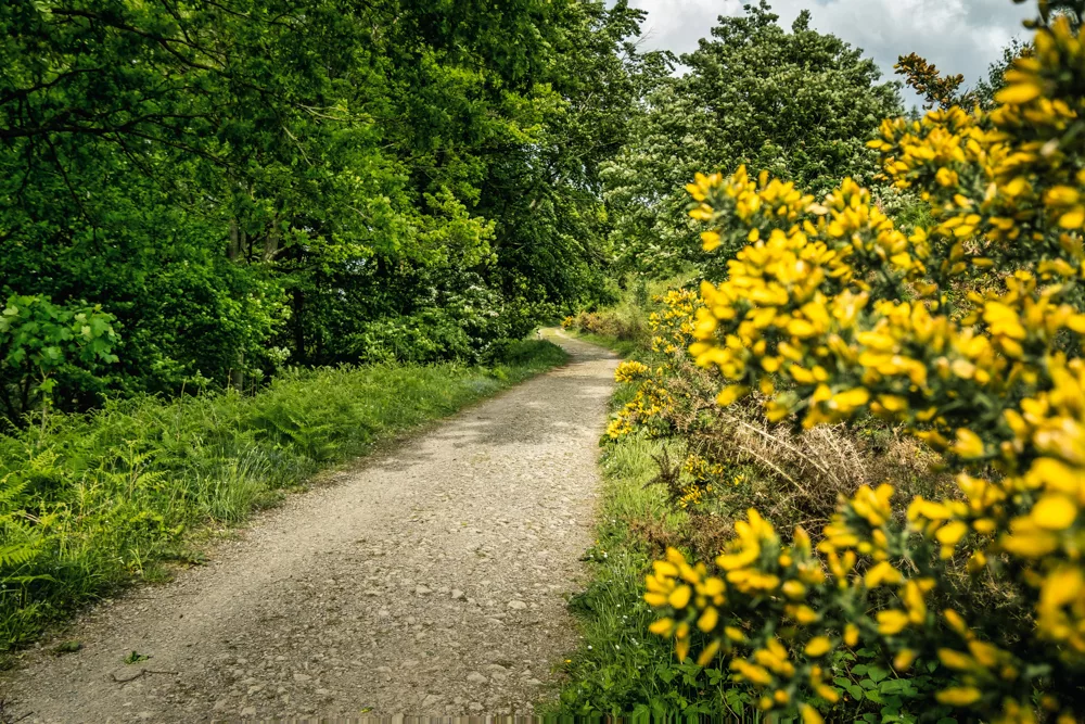
It gets more exciting once across the A19 (by far the most dangerous part of the entire trek) and the trail climbs through Arncliffe Wood and onto the North York Moors where it joins the Cleveland Way, a national trail that arches across the Moors to the seaboard at Saltburn-by-the-Sea.
From here, the views became more expansive with stretching vistas across a patchwork of farmland to the distinctive mini-summit of Roseberry Topping – AKA the ‘Yorkshire Matterhorn’.
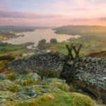
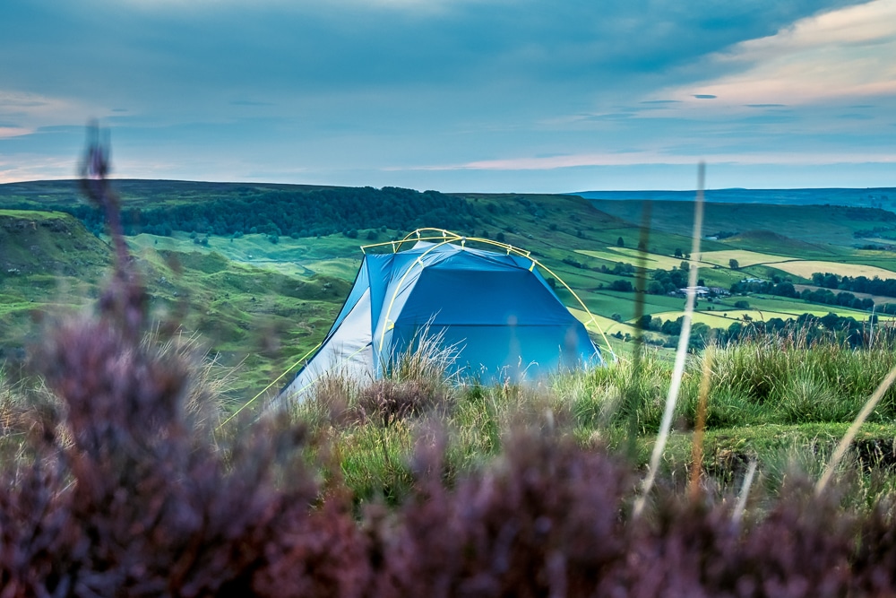
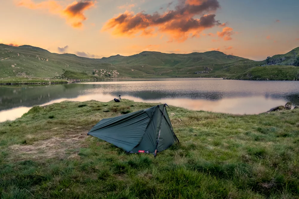
I pitched my tent on Carlton Moor, my first time camping in the North York Moors and what a welcome it was. I was treated to a striking sunset with the full spectrum of colours cast across a checkerboard of fields below.
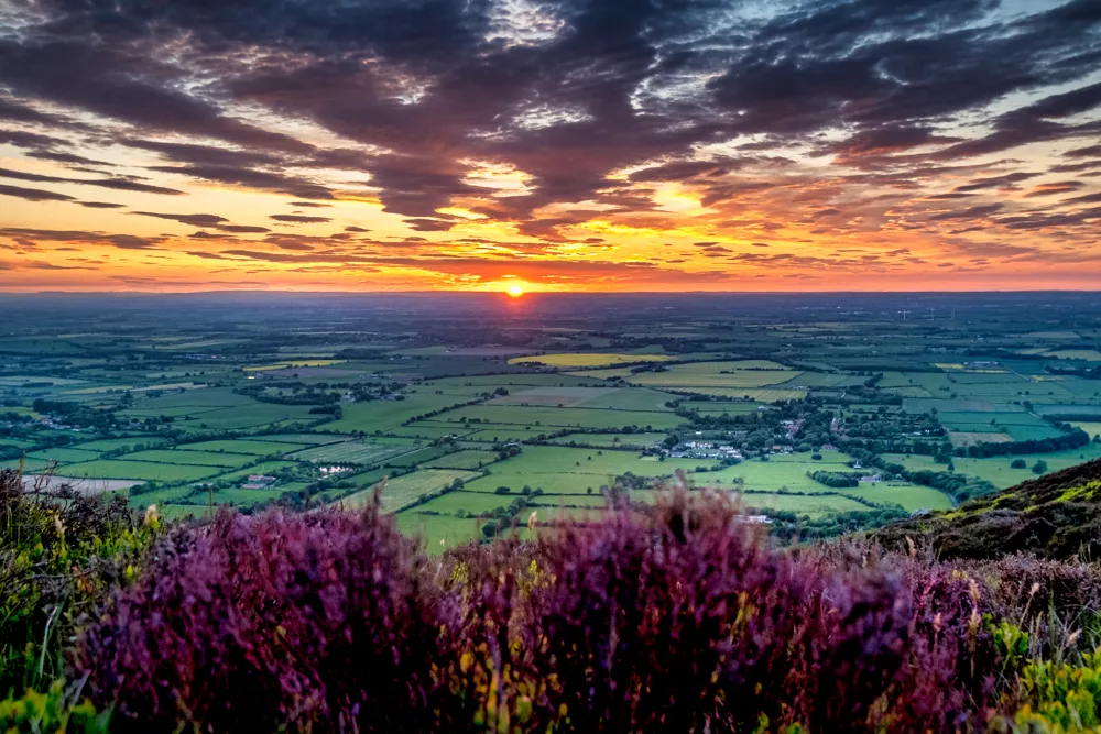
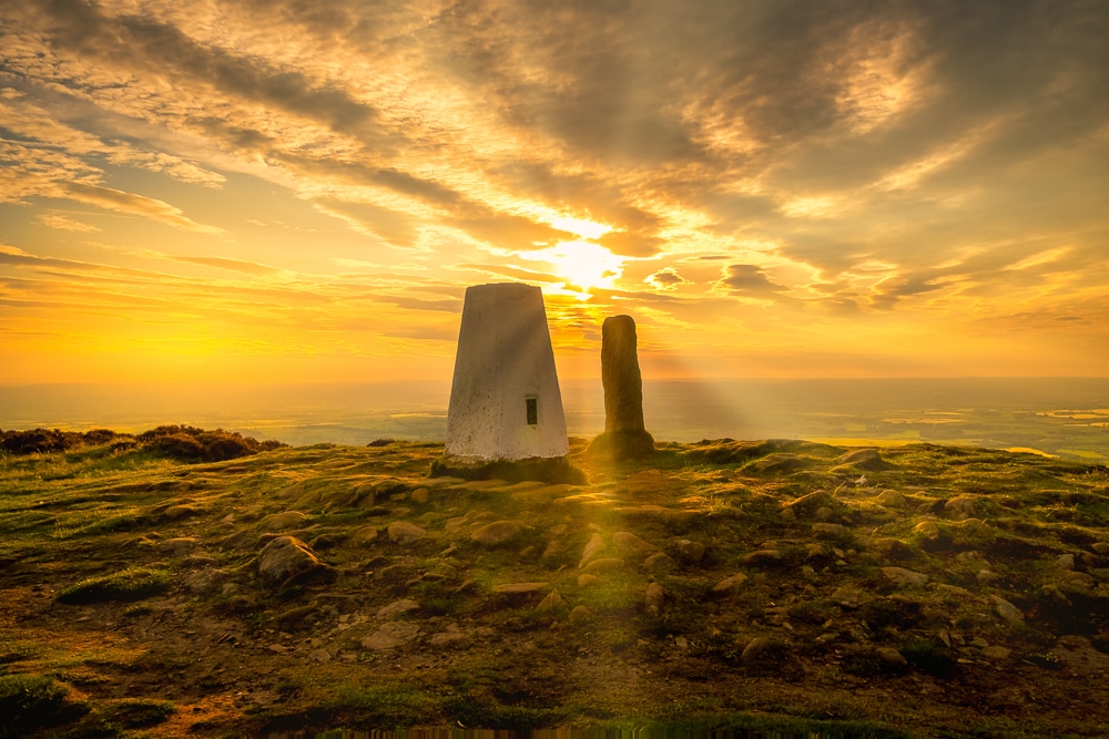
Sunset on Carlton Moor
The following day I made good time crossing an open expanse of high moorland. The route follows the easy-to-navigate Cleveland Way as it makes its way across Cringle Moor and the Wainstones, a distinctive tumble of boulders at the summit of the splendidly named Hasty Bank.
I finally left the Cleveland Way and followed a disused railway line towards Blakey Ridge where I fell in step with a fellow coast-to-coaster, Paul. This was the first of many encounters with hikers who, like me, had decided an extended foot journey was the perfect remedy to the monotony of a pandemic.
We walked together, exchanging trail stories, until the Lion Inn at Blakey Ridge, where he camped for the night. I joined him for a cool cider before proceeding a few more miles onto Glaisdale Moor where I pitched for the night and enjoyed another picturesque sunset.
The next day, after a couple of hours of moorland traverse, I bid farewell to the wilderness and dropped off the high moors into a series of villages – Glaisdale, Egton Bridge and Grosmont – spread along the peaceful River Esk. The trail then climbed onto the open Sleights Moor and across to the charming hamlet of Littlebeck where I had picked out Intake Farm to use as my base for two nights.
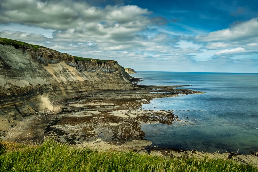
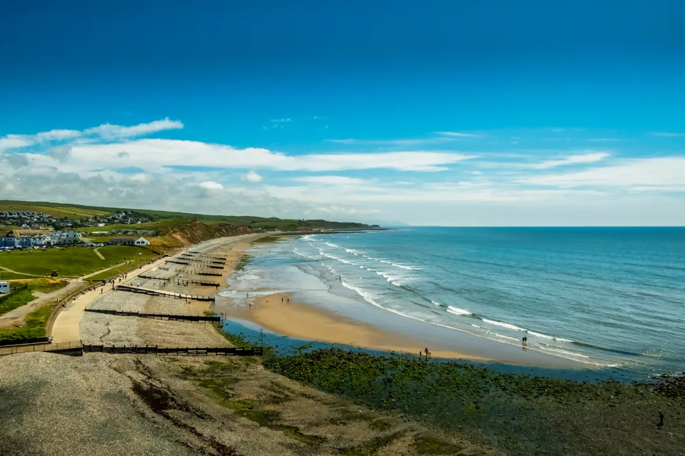
Littlebeck’s location, around 17km from Robin Hood’s Bay, meant I could make the journey to the coast and back in a day. The morning’s walk to the seaboard was fairly ordinary, but the final few kilometres along the clifftops overlooking the North Sea to Robin Hood’s Bay is claim to some of the trek’s most memorable scenes.
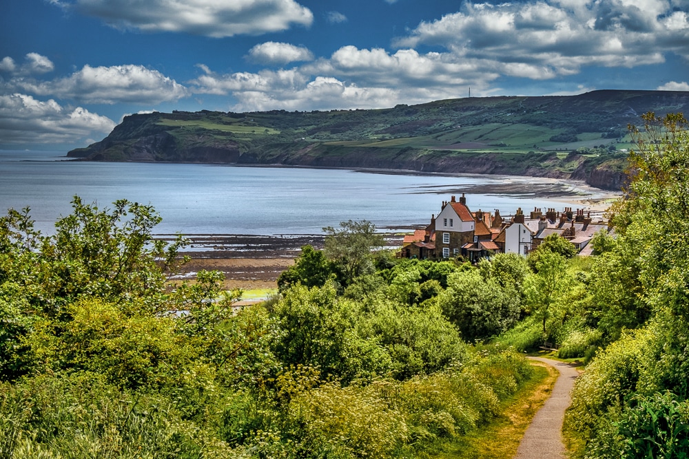
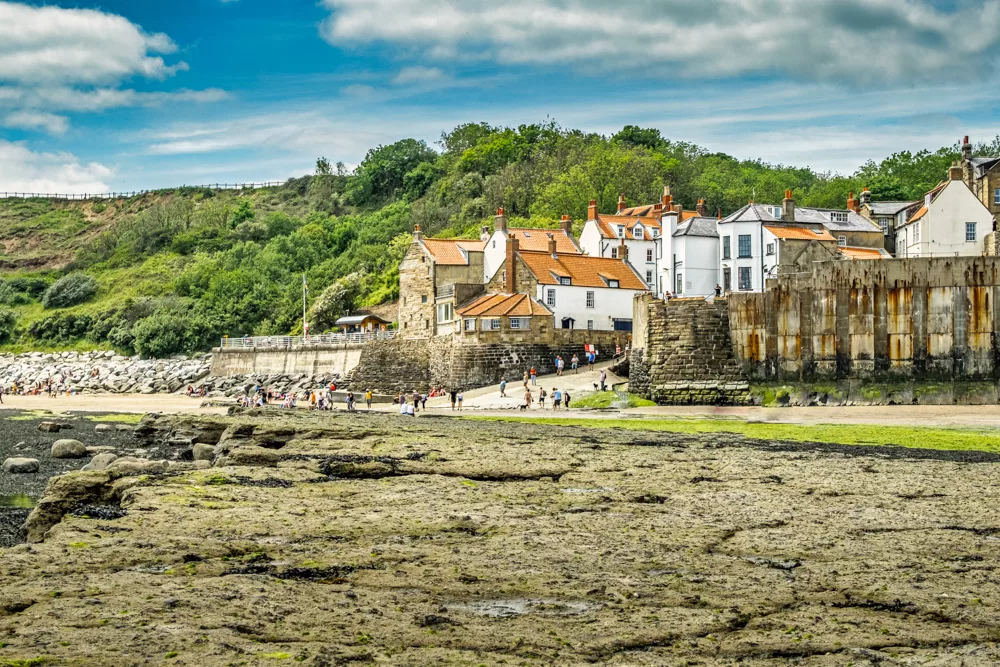
The village of Robin Hood’s Bay spills right down to the edge of the sea and is a fitting end to the trek. Wainwright recommends walkers dip their booted feet in the Irish Sea at St Bees at the beginning of the walk and in the North Sea at Robin Hood’s Bay at the end. For me though, Robin Hood’s Bay was neither the start nor end of my journey. Instead, it was only around the quarter-way point!
I did as recommended before promptly turning around and retracing my footsteps to Littlebeck for the night. I then continued onto Richmond along the same route, making much better time as I had less need for navigation. I camped at Beak Hills Farm near Chop Gate the first night and Danby Wiske again the second night.
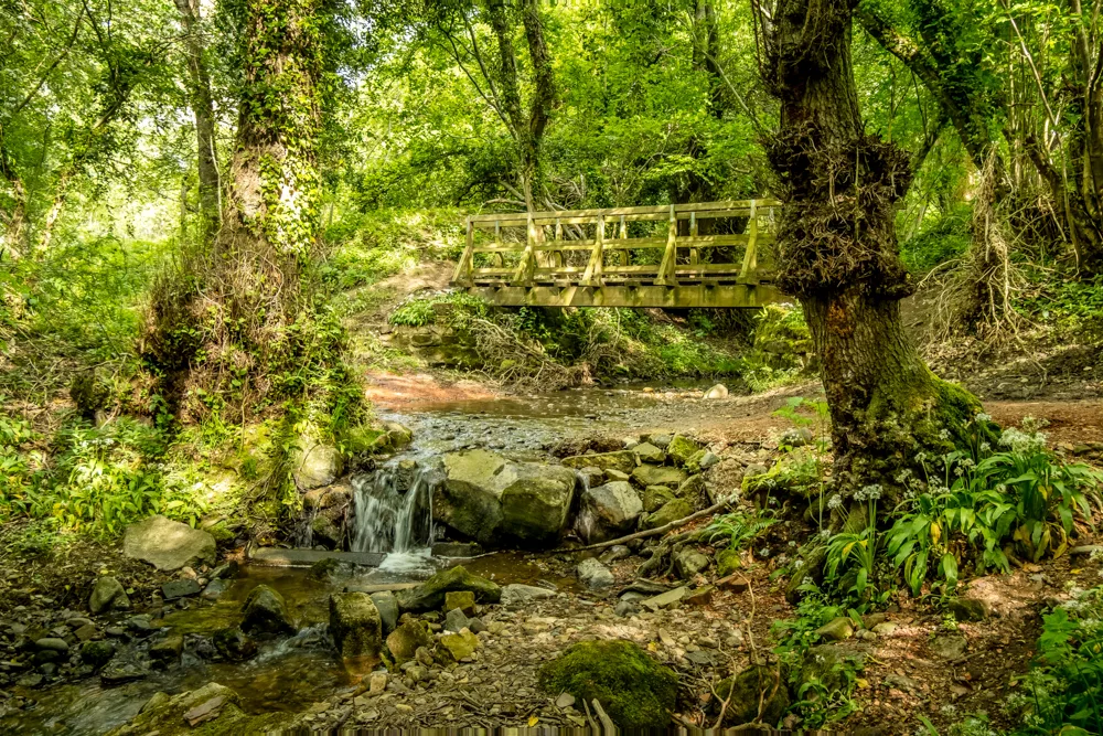
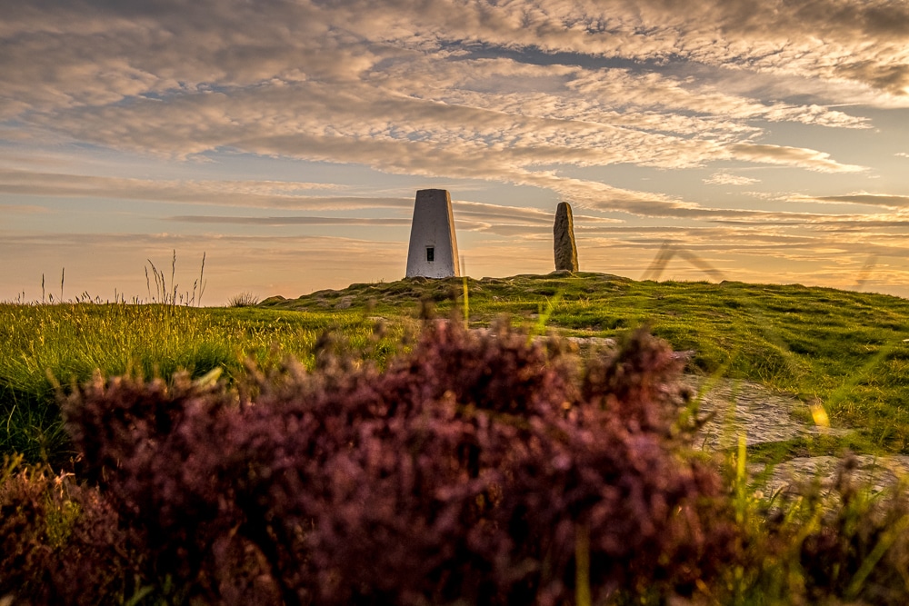
A few more shots from the North York Moors
Part 2: Richmond-St Bees-Richmond
Distance: 374km (232mi)
Duration: 13 days
The second leg of my trek took me westwards across the Yorkshire Dales and into the Lakes. While I had enjoyed unbridled sunshine throughout the first leg in the North York Moors, I wasn’t so lucky this time around. Of the 13 days on the trail, only the first and last were completely dry. Alas, this is summertime in England.
It took me three days to cross the Dales from Richmond to Shap via Reeth, Keld and Kirkby Stephen. I’ve spent nearly three years exploring the Dales and have completed the trail between Richmond and Reeth several times, so made good time on that first day and camped at my favourite Dales campsite, Usha Gap.
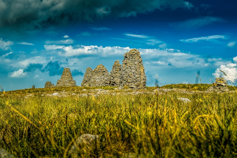
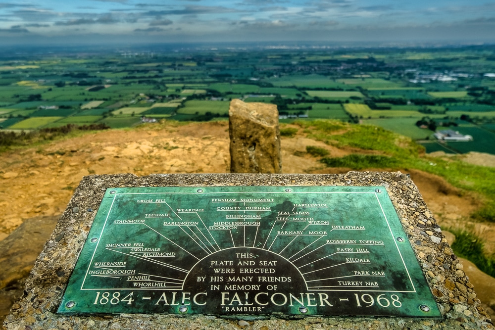
The following day I crossed the farmland above Keld and climbed Hartley Fell to Nine Standards Rigg, the distinctive line of cairns at the summit. It was the third time I’d hiked up Nine Standards Rigg and it was the third time it had rained en route. Fortunately, at the summit, it brightened up enough for me to throw down my pack and rest for lunch.
Regardless, the iconic Roman cairns were significant as they are positioned just beyond the boundary between Yorkshire and Cumbria and thus represented the first time I had crossed into Cumbria on foot. That night I stayed at Pennine View Park, a cramped and noisy campsite that I wouldn’t recommend to backpackers.
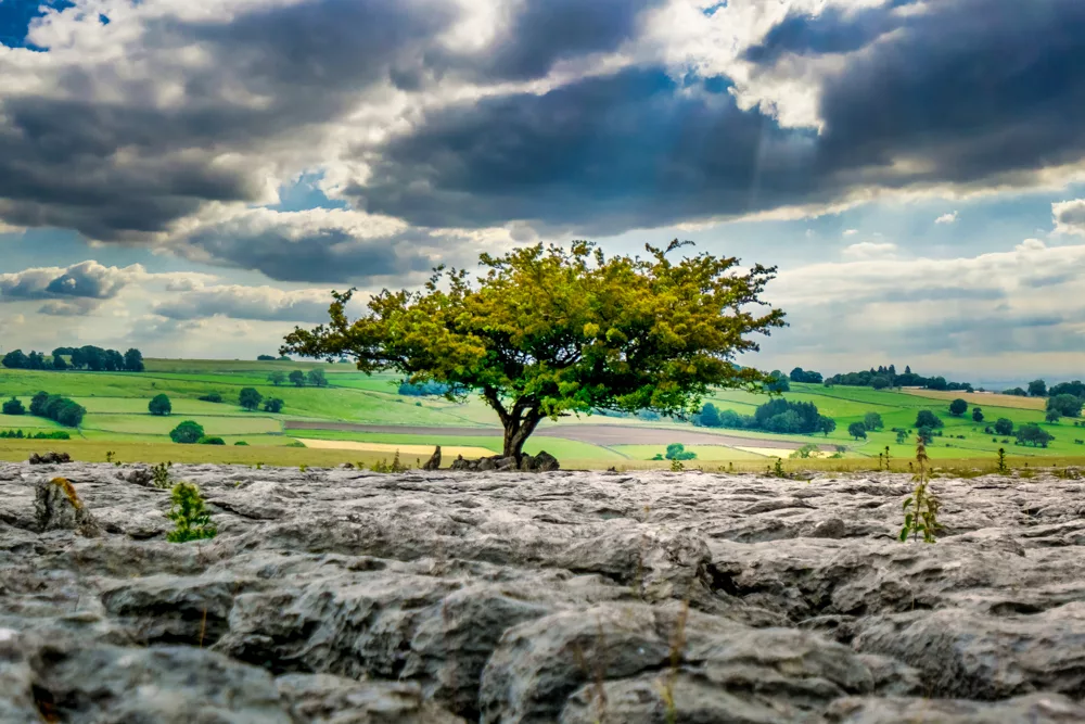
Cumbria welcomed me with a day of miserable weather. It rained almost continuously from the moment I left the campsite until the moment I arrived in Shap – all 33km of it. In a way, it was a blessing to have some of the worst weather of the trip during that section as it was neither the most exciting scenery nor challenging terrain. The day was mostly spent crossing open farmland pastures with a few short segments of road walking, and over upland limestone pavement of which Orton Scar was by far the highlight.
I intended to camp at the Crown Inn but was talked into taking a basic camping pod for £3 extra by the landlord (I really didn’t take much persuading). At the end of a long, wet day, I was only too happy to not have to pitch my tent in the relentless rain.
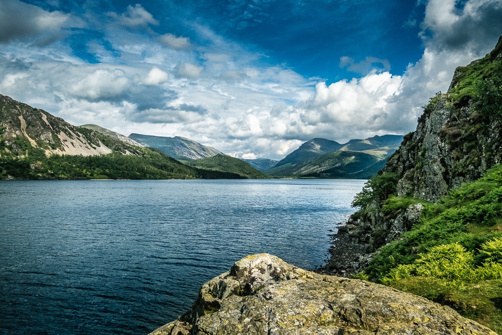
The next day was the Lake District proper. After an hour of picking my way around Shap Abbey, the trail drops onto the shore of Haweswater, my first lake. It then continues onto Kidsty Pike, my first Lakeland fell. Unfortunately, my welcome to the Lake District was somewhat dampened (literally) as the heavens opened yet again – something I would fast become accustomed to in the high fells of Cumbria.
After topping out on Kidsty Pike, which revealed panoramic views of precisely nothing thanks to the syrupy fog and sleeting rain, I made haste to the lower ground at Side Farm Campsite, which, located on the shores of Ullswater, is surely one of the most scenic campsites in the country.
Unfortunately, the weather rather spoiled my intended evening of lazing on the lakeshore and instead I spent my time huddled in my tent, only emerging between showers to stand upright for a few brief moments.
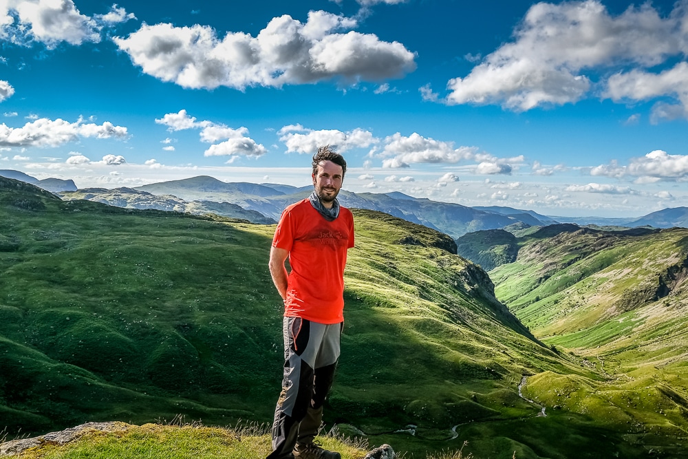
Despite a heavy shower in the morning, the following day finally delivered the Lake District I had come all this way to see. The sun shone, the skies cleared and the scenery was just as the ‘Lake Poets’ of Wordsworth and Coleridge described: sublime.
The day took me from Patterdale over the mountain pass at Grisedale Hause, down into the popular village of Grasmere and then up and over Greenup Edge pass into Borrowdale. It was warm work, but I wasn’t complaining.
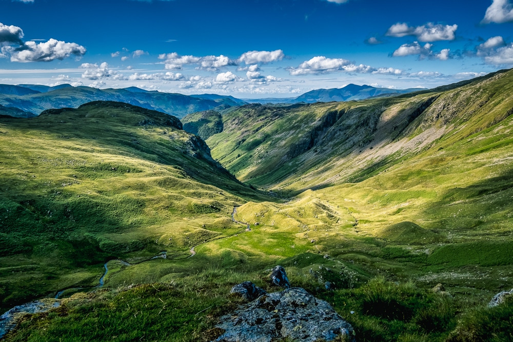
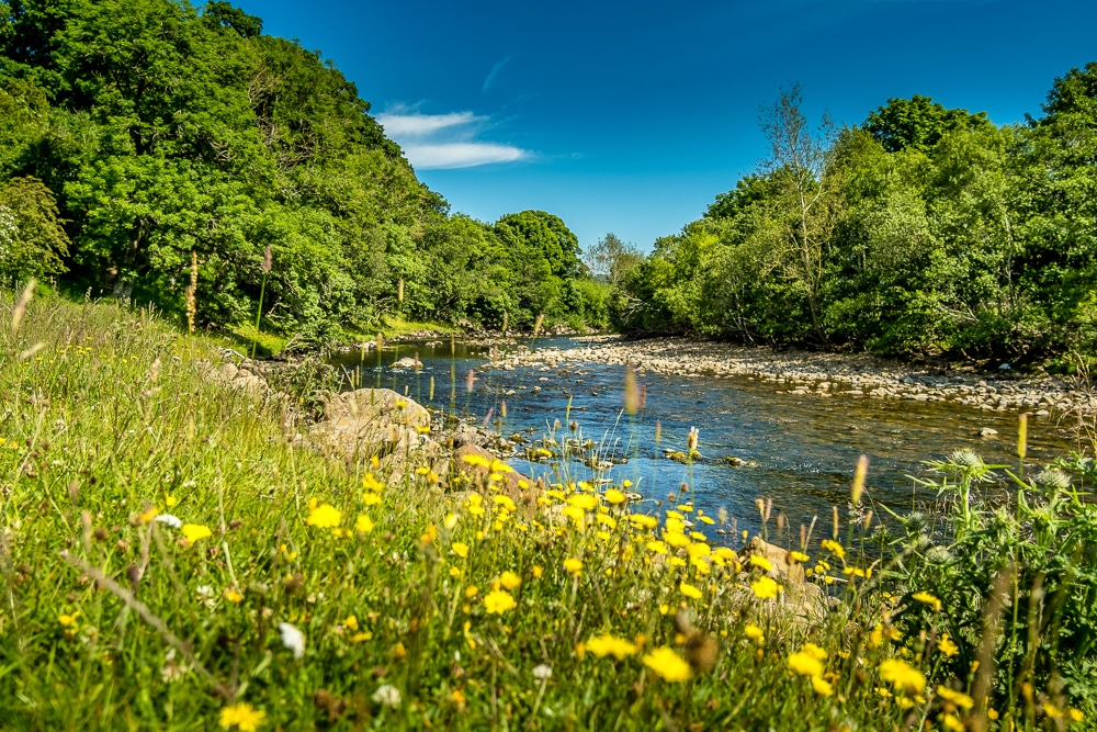
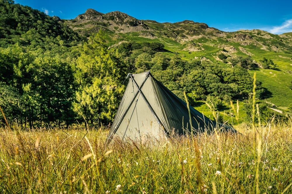
I took my time, stopping at every high point to soak up the scenery and cool off in the breeze. Down in Borrowdale, I checked into the secluded Stonethwaite Campsite delightfully placed alongside Stonethwaite Beck rounding out an almost perfect day of hiking.
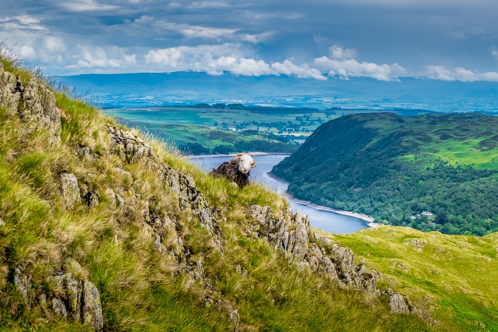
Alas, the rain returned with showers plaguing me throughout the following morning. My day began with a steep hoick up Honister Pass and slate mine down onto the forest trail that leads to Ennerdale Water, the Lake District’s most westerly lake.
By the time I reached its shores, the rain had thankfully cleared allowing me a thoroughly enjoyable afternoon picking my way along the rocky path that hugs the southerly shore. The trail cuts through the woods lining the water’s edge before clambering over steep crags and cliffs revealing a number of striking viewpoints across the water – the best of which can be found above Angler’s Crag.
After a long day on the trail, I wandered into peaceful Ennerdale Bridge with its community-run pub, the Fox and Hounds Inn. I pitched my tent out the back and settled into the beer garden with a cold cider in the warm sun and planned the ensuing day’s route.
I used Ennerdale Bridge (like Littlebeck on the east coast) as my base for two nights, hiking to the coast and back in one day. It would mean covering over 30km in one day, but I could travel light, leaving most of my gear at Ennerdale Bridge.
The morning began with a climb of Dent Fell which should exhibit panoramic views with the mountains of the Lakes to the east and the swells of the Irish Sea to the west. Lamentably, my arrival at the summit coincided with yet another wet spell so instead, I gazed upon a blanket of thick fog to the east while to the west I also gazed upon a blanket of thick fog. Ah, summertime in England.
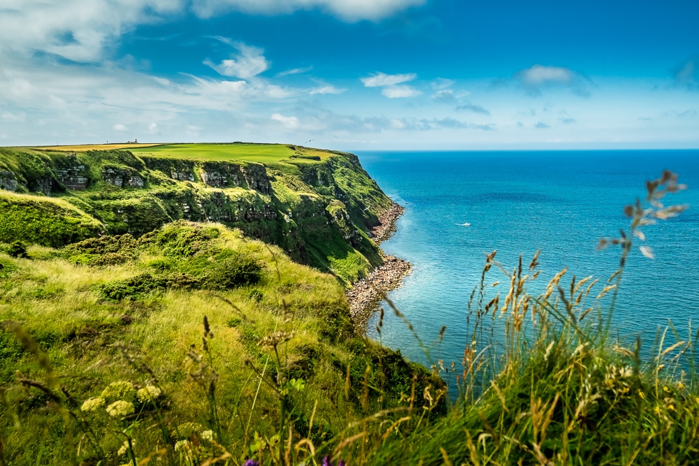
Once off Dent Fell, the sun broke through the clouds as I made my way around the old mining village of Cleator. The route then follows a series of tracks and lanes across farmland towards the coast at St Bees Head. Here, like on the east coast, the final section of the trail boasts some striking waterfront scenery from the clifftops, this time overlooking the Irish Sea.
By now, the sun was out in full force with only a few wisps of clouds in the sky. The water at the base of the cliffs sparkled cerulean and would give the Caribbean a run for its money. The last hour along the cliffs to St Bees proved to be a delightful and satisfying end to my journey west.
The trail finishes (or begins for most) at the beach at St Bees village, a scene invaded by tourism with a caravan site straggling the waterfront complete with ice cream vans, car parks and public toilets.
I lingered a while in St Bees, despite it lacking the charm of Robin Hood’s Bay. After dipping my booted foot in the Irish Sea, I removed my socks and shoes and paddled a while before preparing myself for the return hike. I was now three-quarters of the way through my journey.
I took a more direct route back to Ennerdale Bridge, arriving with enough time to make use of the sunny beer garden again. The rest of my journey back to Richmond generally followed the same route, although I made a couple of minor deviations here and there.
I stayed at the more comfortable but less scenic Chapel House Farm in Borrowdale, walked beyond Patterdale to wild camp alongside Angle Tarn – described by Alfred Wainwright as ‘among the best of Lakeland tarns’, camped at New Ing Lodge in Shap instead of the camping pods, avoided the cramped campsite at Kirkby Stephen and treated myself to a night at Kirkby Stephen Hostel instead so I could watch England lose to Italy in the Euros final.
Finally, I decided against a fourth summit of Nine Standards Rigg in the rain so took a detour via Nateby Common where I got even wetter. I then spent my final evening under canvas huddled in my tent at Usha Gap as the rain pelted down outside.
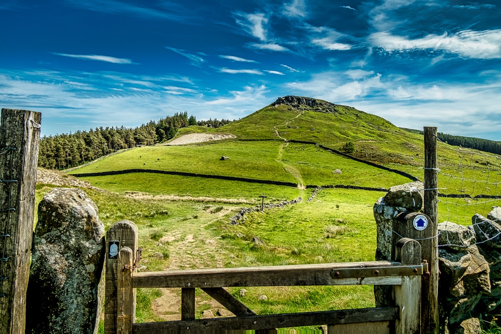
A few more shots from the Dales and Lakes
Despite the weather, my double-trek across England proved to be the perfect antidote to months of stifling confinement. Twenty days of pure freedom outdoors was just what I needed. It also reminded me just how enjoyable it is to meet strangers and share stories – a neglected pastime during the pandemic.
I had left Richmond expecting a pilgrimage of solitude and disconnect. However, in the end, I found quite the opposite and made a host of new friends and acquaintances. After sharing the trail with Paul, I swapped stories with a London couple on their first long-distance hike in Shap, shared a pub garden-cum-campsite with a family at the beginning of a month-long expedition in Ennerdale Bridge, and watched the Euros final in a Cumbrian hostel with a troop of lads from Halifax.
There were countless others too: along the trail, on the slopes, at a campsite, in the rain. They all had a hand in helping me rediscover the joy of strangers.
Enjoyed this post? pin it for later…