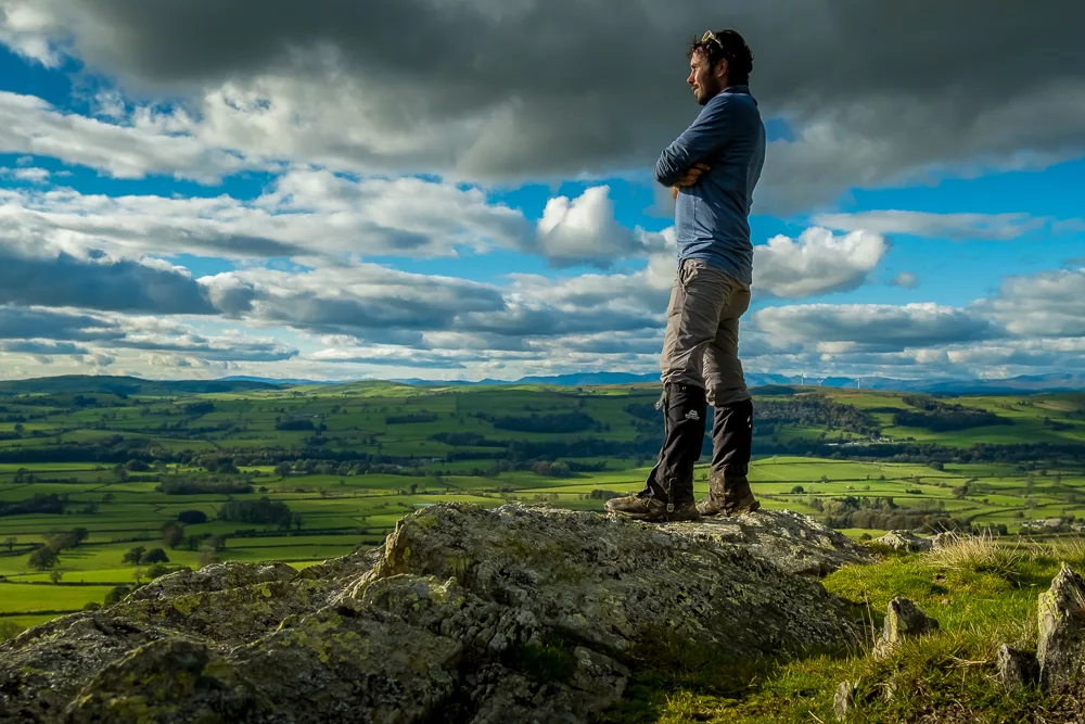
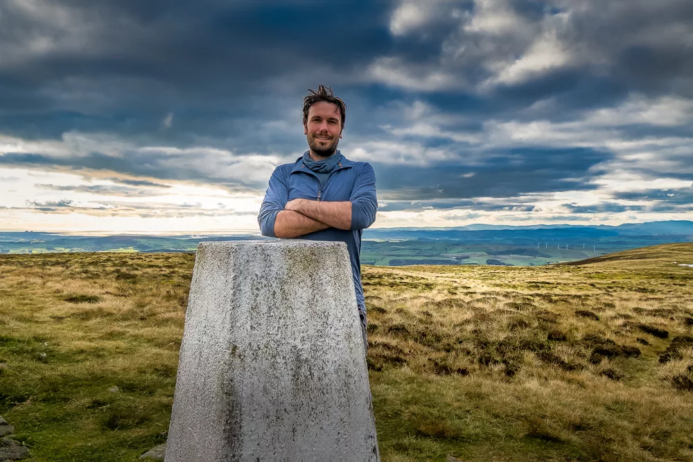
Between lockdowns, I wrapped up a challenge that started nearly two years ago: climbing every mountain in the Yorkshire Dales National Park
Just over a year ago, I was stood atop Aconcagua, the highest mountain in South America and the highest outside of Asia. It was my third – arguably fourth – peak of the seven summits. As I descended the scree slopes, I was in high spirits and full of optimism for the year ahead.
By the time I was on my way home, I was already thinking about Denali in Alaska and whether I could afford an attempt in the summer of 2020.
Well, I didn’t climb Denali in 2020. In fact, like most people around the world, I did very little last year. There’s no need to labour the point. We’ve written about it before and everyone is all too aware of just how difficult the last 12 months (and counting) have been.
One positive thing to come out of last year is that I used the time between lockdowns to wrap up a challenge I’d been working on for a while: climbing every mountain in the Yorkshire Dales.
Climbing every mountain in the Yorkshire Dales
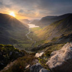
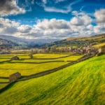
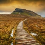
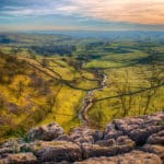
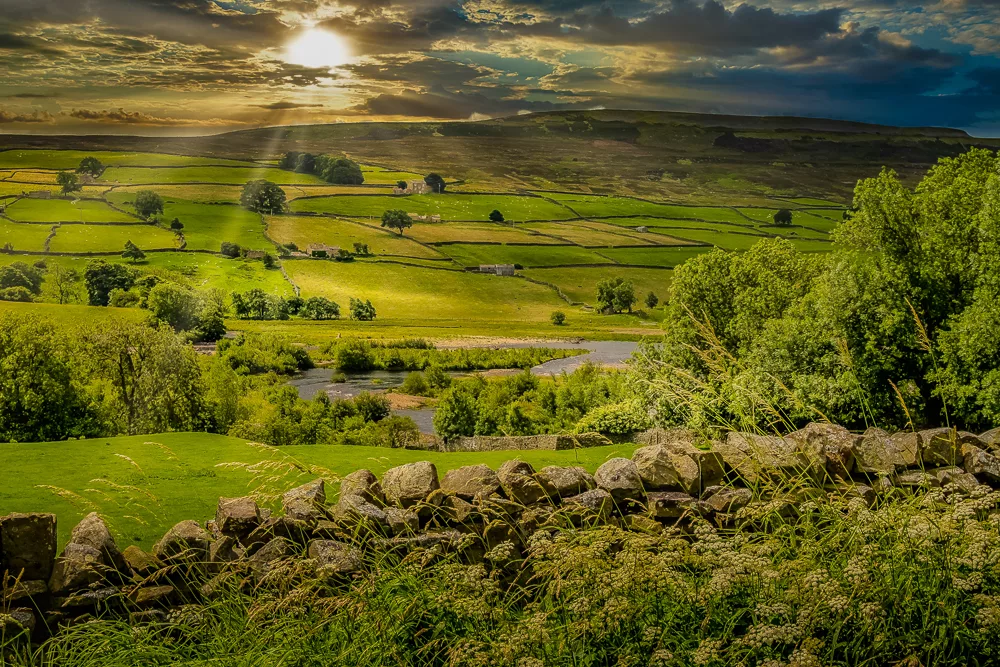
The Yorkshire Dales National Park (YDNP) is home to one of England’s classic outdoor landscapes. The park’s glacial valleys – or dales – are defined by a unique terrain of high heather moorland, rolling hills and dramatic waterfalls. With 41 mountains and an outstanding network of footpaths, the Dales are ripe for hiking.
Throughout the challenge, I received myriad questions about the experience. I’ve collated them below in a Q&A that covers everything from how I got the idea to what maps to use.
How did you get the idea?
When we first moved to the Dales I attended an evening at the Richmond Walking & Book Festival where a local hiking guide delivered a presentation about the highest mountains in the area.
I thought: “What better way to get to know my new neighbourhood than climbing all its mountains?” Next, I listed all the mountains and created a personalised Google Map so I could plan the order in which to climb them.
What was your first mountain in the YDNP?
I kicked things off by hiking Great Shunner Fell located in the Northern Dales, between Wensleydale and Swaledale. At 716m (2,340ft), it is the third highest peak in the national park.
Despite its height, the peak is a reasonably gentle ascent along a well-trodden trail with little opportunity for error. A great place to start.
And your last?
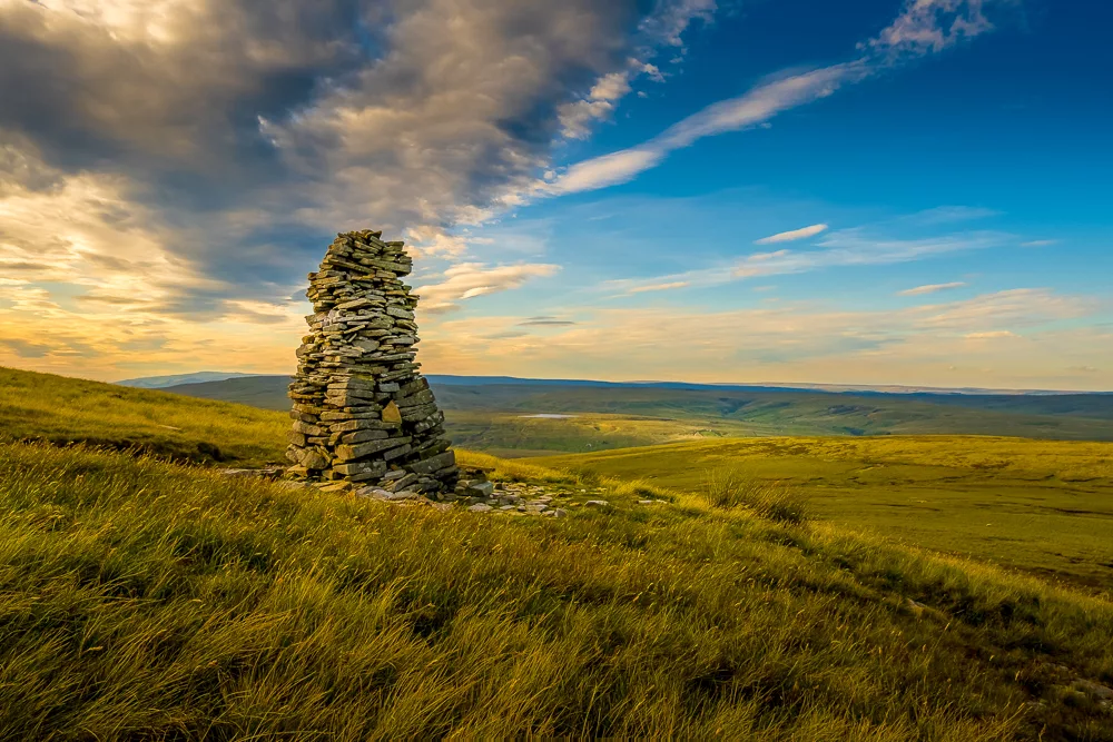
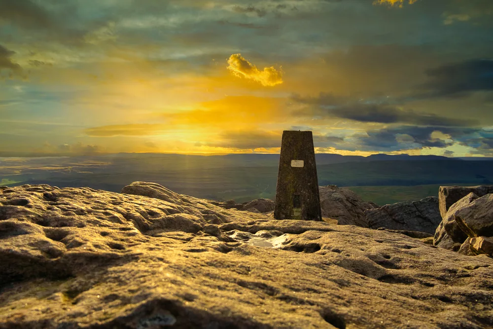
I finished with the park’s newest mountain, Calf Top. In the UK, 2,000ft is widely accepted as the benchmark height for a mountain.
Until 2016, the Yorkshire Dales were home to 40 peaks, but following an Ordnance Survey recalculation, Calf Top – with an updated height of 2000.02ft (609.606m) – was re-categorised as the park’s 41st mountain.
I thought about leaving Whernside – which at 736m (2,415ft) is the park’s highest peak – until last. But early in the challenge, I found myself in the Western Dales and just couldn’t resist ticking it off. In the end, Calf Top seemed like the appropriate place to wrap up the challenge.
How long did it take?
I climbed my first YDNP mountain over two years ago. I didn’t set out with a time frame in mind; I just wanted an excuse to go hiking regularly. Obviously, running this blog means I travel a lot and am often out of the country for long periods of time.
However, when the pandemic hit I couldn’t travel so it proved the perfect opportunity to complete the challenge. During the summer, I started bagging peaks much more quickly.
I tried to get into the Dales as often as I could and cross off a few peaks at a time. The most I managed to climb in one day was seven when I spent a long day hiking in the Howgill Fells near Sedbergh.
What was your favourite peak?
It’s difficult to choose, but I really enjoyed Ingleborough as I went up there in February during some unusually warm weather for that time of year. Ingleborough is a proper little mountain with some fun scrambles, a wonderful summit plateau and some of the best views in the Dales. I combined the peak with Simon’s Fell, a nearby summit which few others seem to make the extra effort to visit.
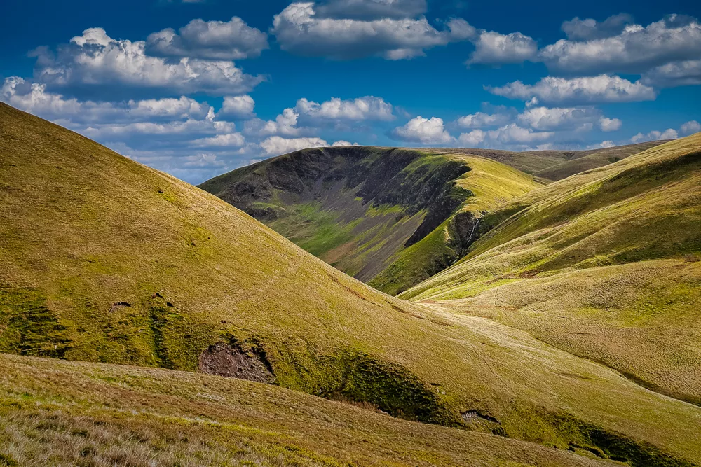
However, if you asked where I’d recommend the most I would say any of the peaks in the Howgills. It’s a much quieter corner of the Dales and has some fine scenery including deep ravines, craggy cliffs and dramatic waterfalls. Alfred Wainwright famously described the Howgill Fells as a “herd of sleeping elephants”.
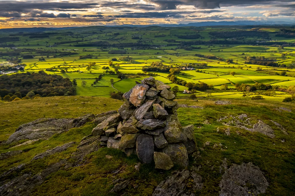
Finally, even though it’s the lowest, Calf Top has some of the best views in the whole national park. You can see all the way out to the sea on England’s west coast.
Where did you camp?
I completed several of the peaks during day hikes, where I would drive into the park from home and tick off one or two summits at a time. However, on a few occasions, I camped in the park for a night or two.
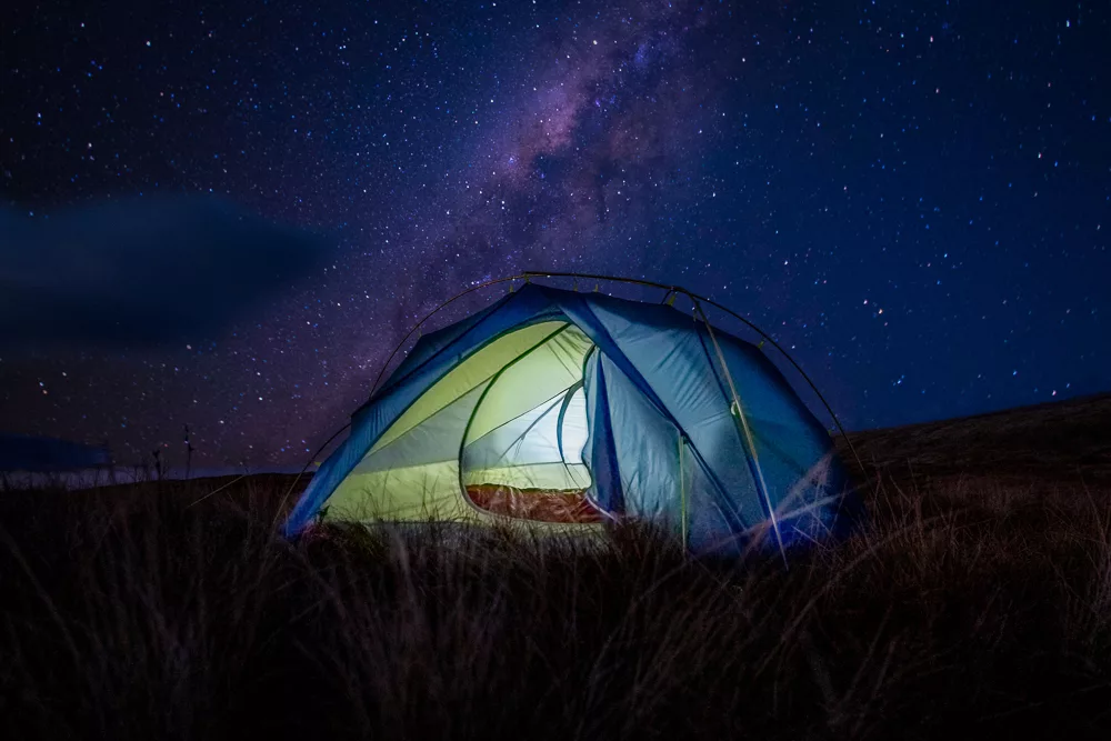
I would wild camp where possible, taking care to follow etiquette: waiting until late in the day to pitch my tent, usually around sunset, and then setting off early in the morning. I pitch reasonably high up in the hills, well away from any farms or settlements and always follow the Seven Principles of Leave No Trace.
I also made use of a few local campsites and recommend the following:
- Usha Gap, Muker
- Askrigg Camping, Askrigg
- Stablefell Camping, Marsett
- Kettlewell Camping, Kettlewell
What maps did you use?
I used the following Ordnance Survey Explorer 1:25,000 maps.
- OL 2 Yorkshire Dales: Southern & Western Area
- OL 19 Yorkshire Dales: Howgill Fells and Upper Eden Valley
- OL 30 Yorkshire Dales: Northern & Central Area
The below Landranger 1:50,000 maps also cover the area:
Ordnance Survey maps all come with a mobile download version for the OS Maps app, the UK’s best hiking app.
Why the YDNP 41?
For me, climbing every mountain in the Yorkshire Dales was just a great way of spending time outside during lockdown and getting to know my local area. Engaging with nature and accessing the outdoors has proven mental and physical health benefits, something that is particularly pertinent under lockdown.
I would urge anyone who is finding life difficult during these times to have a look at their local area and pick a microadventure or create a microchallenge to complete.
It could be ‘10 local trails’ or ‘20 hills over 500m’. It doesn’t really matter what it is or how long it takes. With normal life so restricted at the moment, it’s more important than ever to get outside, get into nature and disconnect.
Have a look at some of the articles below to find hikes near you:
- England’s 100 most popular hiking trails
- 12 best hikes in the Yorkshire Dales National Park
- 12 best hikes in the North York Moors National Park
- 12 best hikes in Northumberland National Park
- 12 best hikes in the Peak District National Park
- 10 best hikes in Dartmoor National Park
If you’re looking for further inspiration, I wrote a piece for the Independent about how to add a sense of adventure to lockdown exercise.
What’s next?
As mentioned, I’m currently working my way through a challenge to climb the seven summits, the highest mountain on every continent. So far, I’ve climbed Kilimanjaro in Africa, Elbrus in Europe, Kosciuszko in Oceania and most recently Aconcagua in South America.
My plans have been put on hold due to the pandemic so I’m not sure when I’ll get the chance to have a crack at the next one. I still have Denali in North America, Vinson in Antarctica and Everest in Asia.
I also aim to summit Puncak Jaya in Indonesia to complete the two separate versions of the seven summits lists, the first of which restricts Oceania to Australia while the second includes the islands of the Indian and Pacific oceans.
Closer to home, there are 180 mountains over 2,000ft in England. I’ve climbed around 60 of them so perhaps I’ll get started on the rest. With around 95% of them in the north of England, most are within relatively easy reach.
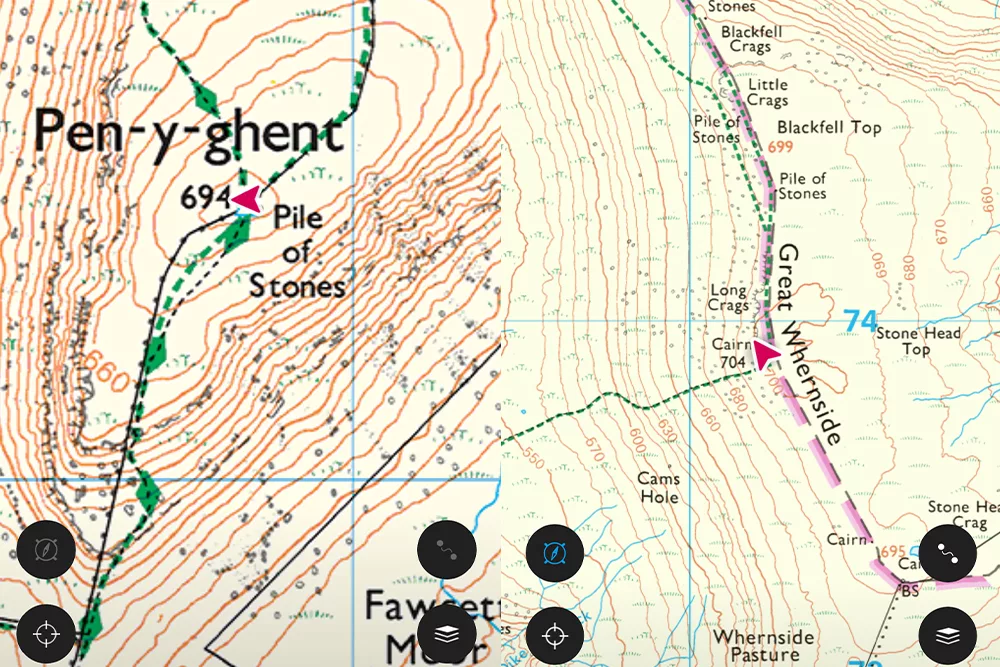
The mountains of the Yorkshire Dales
There are numerous methods of categorising mountains in the UK using various combinations of elevation, prominence and isolation. Generally, I like the method known as Hewitts (Hills in England, Wales and Ireland over two thousand feet).
Hewitts are mountains over 609.6m (2,000ft) which have a drop (prominence) of at least 30m (98.4ft) on all sides. There are 30 such mountains in the Yorkshire Dales, shown in green in the map below.
Hide/show layers by clicking the icon at the top-left
However, I wanted to climb a few more than 30, so I opted for the Nuttalls, named by Anne and John Nuttall in their 1990 book The Mountains of England and Wales.
As with the Hewitts, Nuttalls are over 609.6m (2,000ft) but only have a prominence of 15m (49.2ft) or more. There are 41 Nuttalls in the Yorkshire Dales National Park, shown in red in the map above.
The list below shows all 41 Nuttalls and can be sorted to show just the Hewitts.
| Rank | Mountain | Height | Hewitt? |
|---|---|---|---|
| 1 | Whernside | 736m (2,415ft) | ✓ |
| 2 | Ingleborough | 724m (2,375ft) | ✓ |
| 3 | Great Shunner Fell | 716m (2,349ft) | ✓ |
| 4 | High Seat | 709m (2,326ft) | ✓ |
| 5 | Wild Boar Fell | 708m (2,323ft) | ✓ |
| 6 | Great Whernside | 704m (2,310ft) | ✓ |
| 7 | Buckden Pike | 702m (2,303ft) | ✓ |
| 8 | Gregory Chapel | 695m (2,280ft) | |
| 9 | Pen-y-Ghent | 694m (2,277ft) | ✓ |
| 10 | Hugh Seat | 689m (2,260ft) | |
| 11 | Great Coum | 687m (2,254ft) | ✓ |
| 12 | Crag Hill | 682m (2,237ft) | |
| 13 | Swarth Fell | 681m (2,234ft) | ✓ |
| 14 | Plover Fell | 680m (2,231ft) | ✓ |
| 15 | Baugh Fell, Tarn Rigg | 678m (2,224ft) | ✓ |
| 16 | Knoutberry Haw | 676m 2,218ft) | |
| 17 | The Calf | 676m (2,218ft) | ✓ |
| 18 | Lovely Seat | 675m (2,215ft) | ✓ |
| 19 | Calders | 674m (2,212ft) | ✓ |
| 20 | Bram Rigg Top | 672m (2,205ft) | |
| 21 | Great Knoutberry Hill | 672m (2,205ft) | ✓ |
| 22 | Rogan’s Seat | 672m (2,205ft) | ✓ |
| 23 | Water Crag | 668m (2,192ft) | |
| 24 | Dodd Fell Hill | 668m (2,192ft) | ✓ |
| 25 | Fountain’s Fell | 668m (2,192ft) | ✓ |
| 26 | Little Fell | 667m (2,188ft) | ✓ |
| 27 | Great Dummacks | 663m (2,175ft) | |
| 28 | Fountains Fell South Top | 662m (2,172ft) | |
| 29 | Nine Standards Rigg | 662m (2,172ft) | |
| 30 | Simon’s Fell | 656m (2,133ft) | ✓ |
| 31 | Yockenthwaite Moor | 643m (2,110ft) | ✓ |
| 32 | Fell Head | 640m (2,100ft) | ✓ |
| 33 | Yarlside | 639m (2,096ft) | ✓ |
| 34 | Green Hill | 628m (2,060ft) | |
| 35 | Gragareth | 628m (2,060ft) | ✓ |
| 36 | Darnbrook Fell | 624m (2,047ft) | ✓ |
| 37 | Randy Gill Top | 624m (2,047ft) | ✓ |
| 38 | Bush Howe | 623m (2,044ft) | |
| 39 | Drumaldrace / Wether Fell | 614m (2,014ft) | ✓ |
| 40 | Birks Fell | 610m (2,001ft) | ✓ |
| 41 | Calf Top | 610m (2,000ft) | ✓ |
Enjoyed this post? pin it for later…