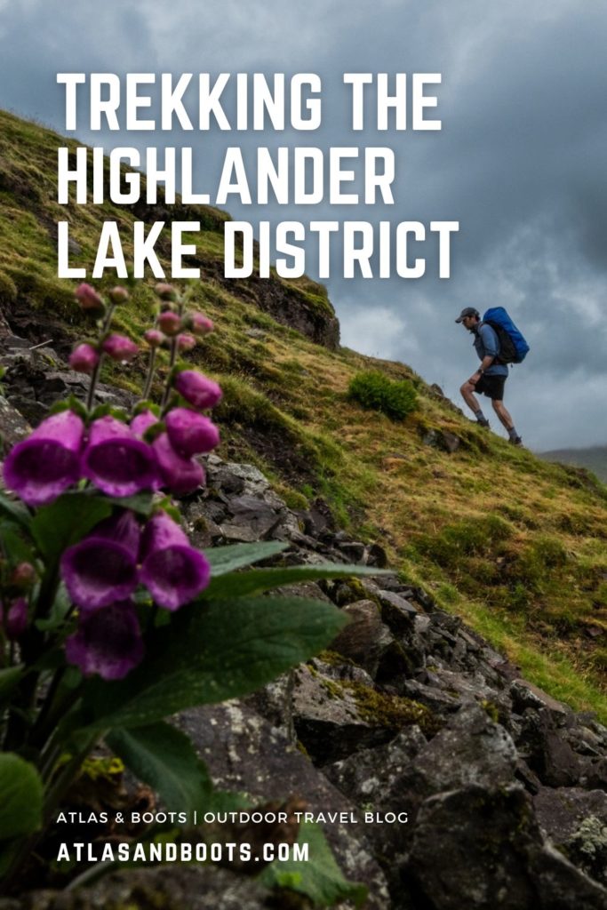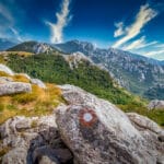
Trekking the Highlander Lake District offers a unique journey through the nation’s most picturesque national park
The Lake District is home to England’s most dramatic landscape. In a country known more for its tame countryside and sedate farmland, Cumbria’s exhilarating terrain of craggy peaks, deep gorges and immense lakes reveals a refreshingly wilder side of the nation. As such, nowhere else was ever really in the running to host the inaugural Highlander UK trek, one of the latest additions to the Highlander Adventure collection.
The fells of northwest England have enticed walkers ever since the first ‘Lake Poets’ of Wordsworth and Coleridge put pen to paper in the 19th century. Today, the Lake District is England’s largest and the UK’s most frequented national park with over 15 million annual visitors.
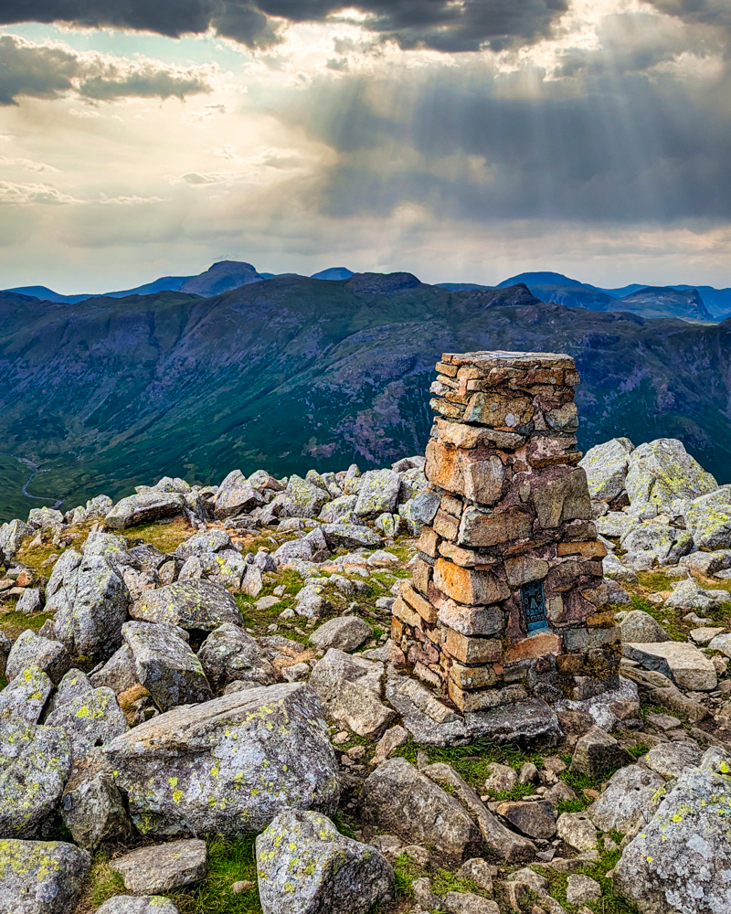
The UNESCO-listed park has England’s highest mountain, Scafell Pike at 978m (3,209ft), and the infamous Helvellyn at 950m (3,117ft) with its hair-raising Striding Edge ridge. It is also home to the Wainwright Fells, 214 hills and mountains described in Alfred Wainwright’s classic seven-volume Pictorial Guide to the Lakeland Fells (1955-66). Not to be overlooked, of course, are 16 principal lakes from which the park takes its name, as well as countless smaller tarns, lagoons and ponds.
This summer, I joined the inaugural Highlander Lake District trek, a challenging five-day foot journey through England’s highest mountain range.
Highlander Lake District: Hercules format
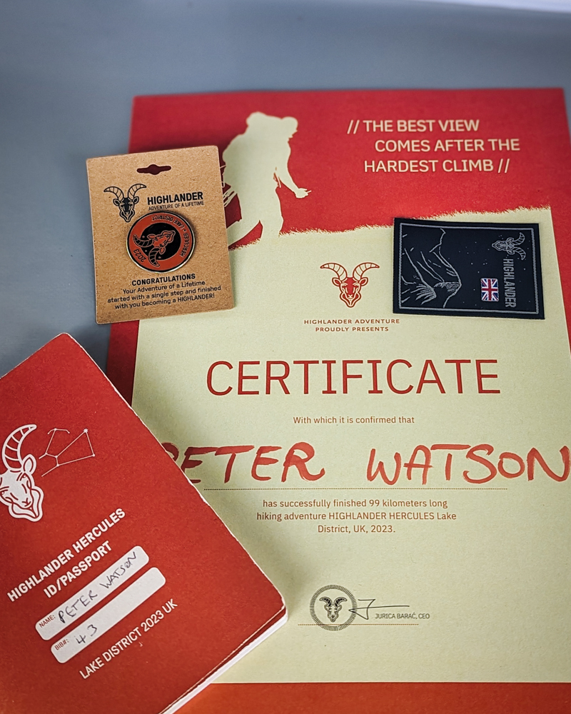
Distance: 99km
Duration: 5 days/4 nights
Ascent/descent: 4,780m/4,780m
More info: highlanderadventure.com
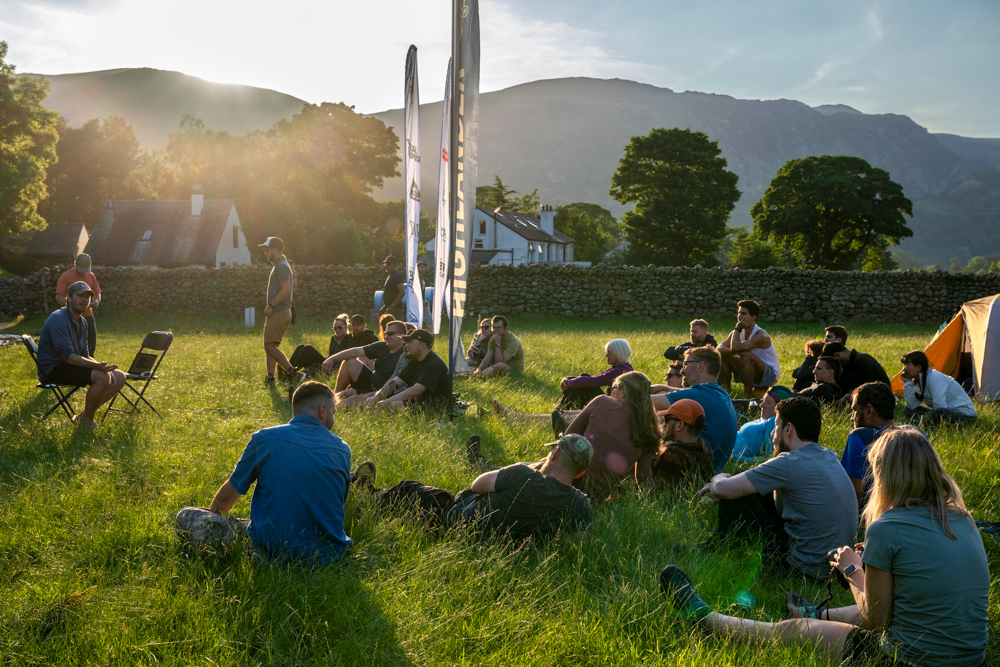
This was my fifth Highlander Adventure trek. The events are marketed as hiking festivals as they also include activities such as workshops, educational lectures and yoga sessions. So far, I’ve completed the Velebit in Croatia in 2020, Olympus in Greece in 2021, Svaneti in Georgia and Ras Al Khaimah in the UAE in 2022.
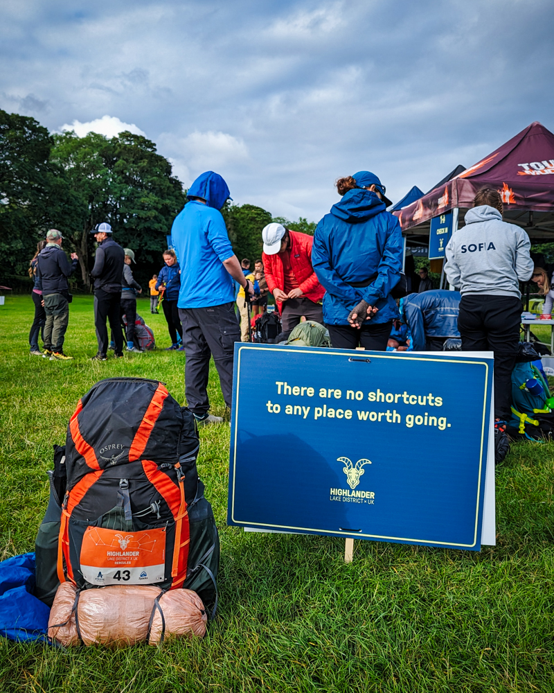
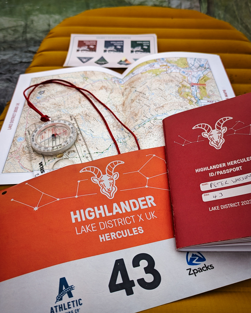
While no walk in the park (metaphorically speaking), the Highlander Adventure treks are a perfect introduction to multi-day hiking. The Highlander approach strikes a good balance between guided trek and self-sufficient expedition. The logistics are largely taken care of with internal travel to and from trailheads, routes, food, maps, checkpoints and campsites all pre-arranged.
Atlas & Boots
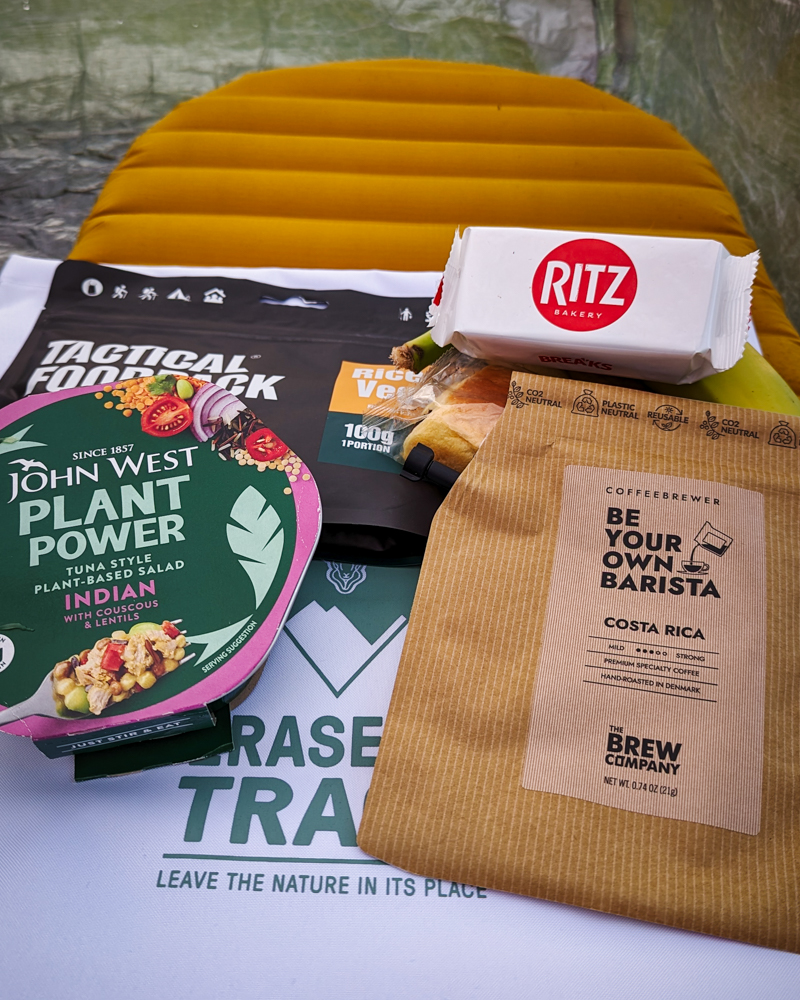
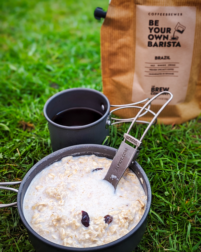
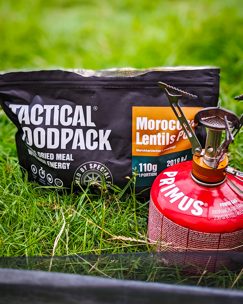
Food, maps and route information are supplied
Trekkers are only responsible for getting themselves and their gear to the start point (and walking the trail of course). There are daily checkpoints to pass through to gain a certificate and medal upon completion.
Even though the events are non-competitive, they should not be underestimated. Ascents can be formidable and there are some long days on the trail. Anyone not used to multi-day trekking should prepare accordingly. Read this article on how to prepare for your first long-distance trek.
Day 1
Distance: 20.95km
Duration: 4-6 hours
Ascent/descent: 854m/851m
Difficulty: Easy-moderate
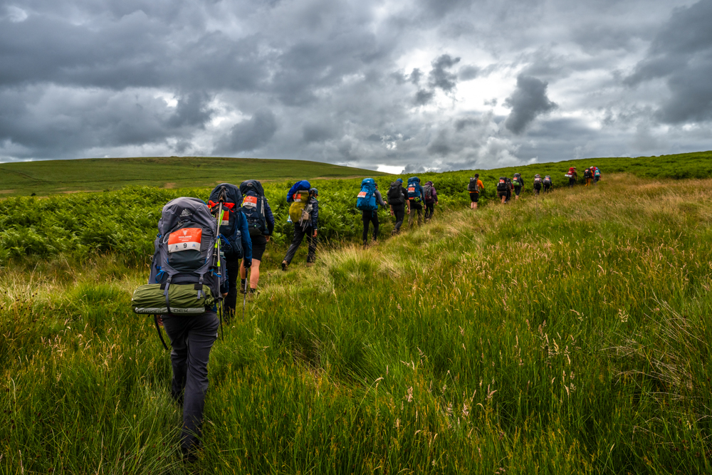
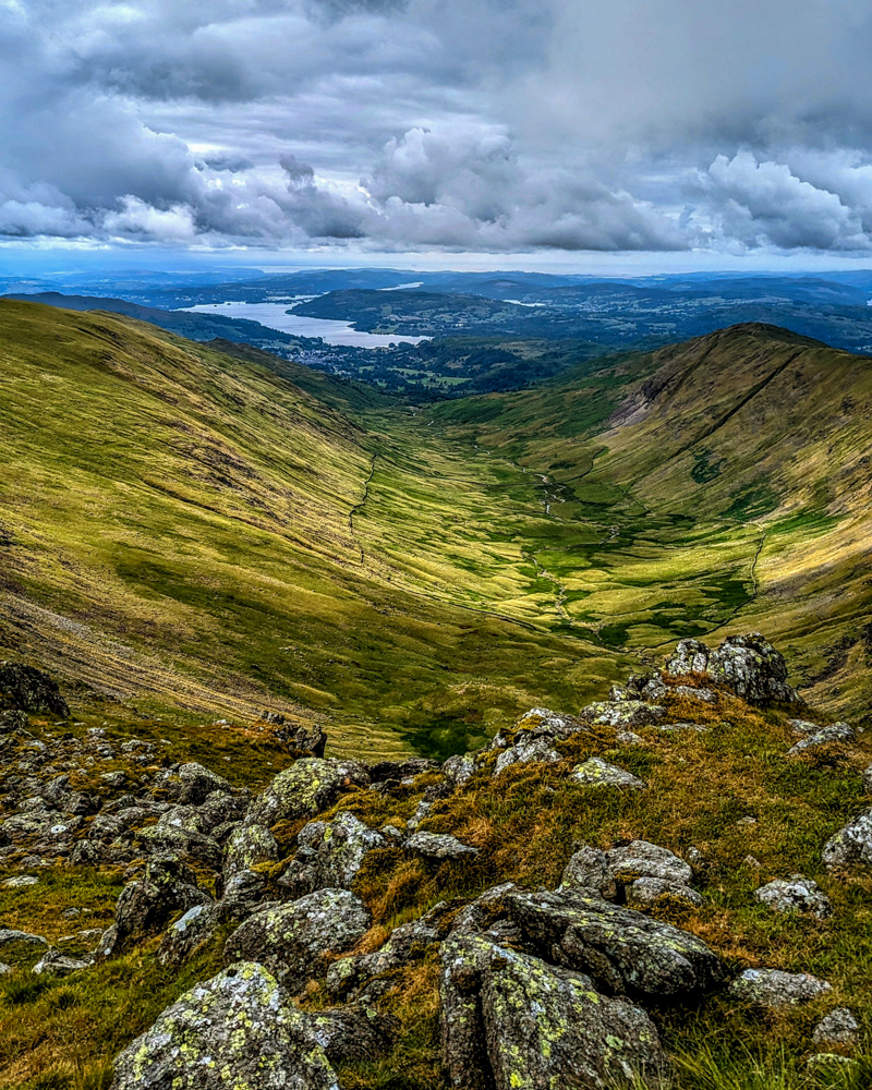
After leaving the start line, our group of Highlanders began the steady but moderate climb away from civilisation up onto the fells above Martindale Common, a remote and thinly populated valley running between the lakes of Ullswater and Haweswater.
It was a solid morning of hiking with everyone in good spirits, chatting and getting to know each other. I initially fell into step with a couple of guys, some of whom I recognised from their social channels including Tom from Weekend Hiker and Joe who runs a popular Instagram hiking group.
The trail meandered up through long grass and moorland until it reached the modest Wainwright of Loadpot Hill (672m) where we paused for our first summit shot of the trek. From there, I got chatting with Lizzy and Mike, two mountain leaders who had joined Highlander as part of the support team.
For me, one of the biggest appeals of the Highlander treks is the social aspect. Generally, I tend to trek on my own. Most of my friends in the UK aren’t really interested in trekking and prefer to spend their precious holidays relaxing instead of lugging a backpack over mountain passes. Likewise, even though Kia enjoys a day hike, she (usually) draws the line at multi-day treks.
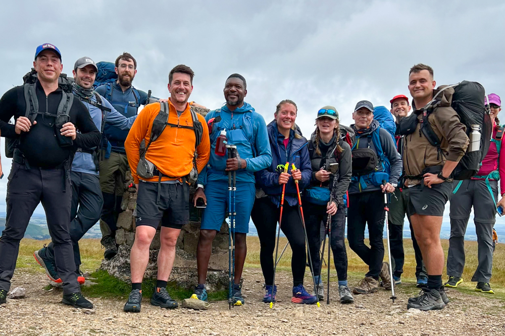
The Highlander treks are a great way to meet like-minded people and socialise while on the trail. Even though I join as a solo hiker – and while it was easy to find solitude on the trail – other walkers are never far away and always happy to pause for a chinwag.
From Loadpot Hill, we traversed the escarpment along an old Roman road to High Raise (802m) and the Knott (739m), pausing at each for summit shots and snacks. The Eastern Fells are a quiet part of the Lake District, attracting few hikers at the best of times let alone on a Wednesday morning. Other than the Highlander participants, we didn’t come across any other walkers until we dropped down to Hayeswater Gill near Bridgend, our campsite for the night.
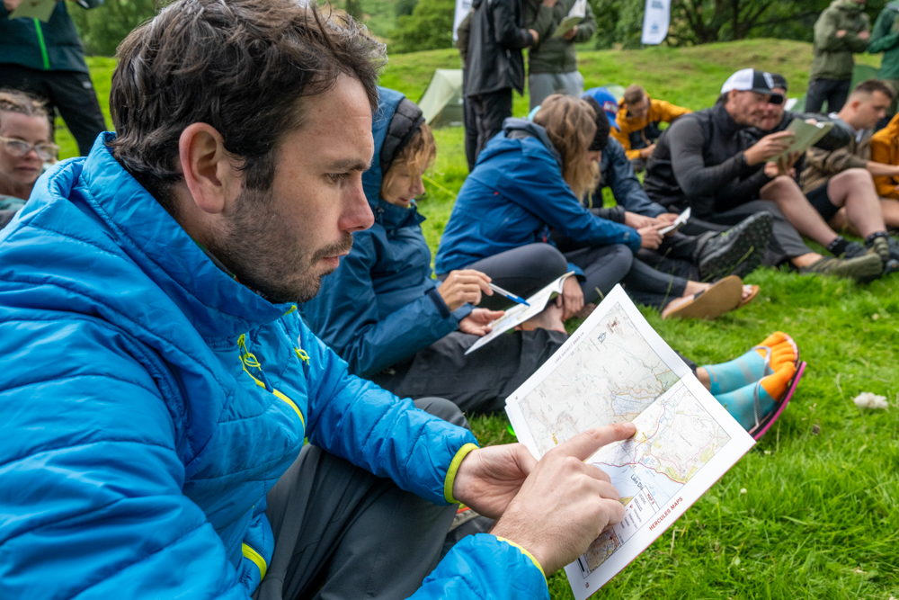
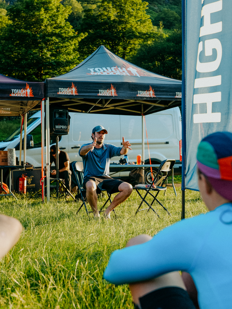
As the morning wore on, the group steadily spread itself out along the gently undulating trail, but most still arrived at the first camp within a couple of hours of each other. The afternoon was spent relaxing at the campsite with a short jaunt into Patterdale for some light refreshment at one of the village pubs. In the evening, Lizzy and Mike led a navigation workshop to help new hikers get accustomed to mapreading.
Day 2
Distance: 22.84km
Duration: 8-12 hours
Ascent/descent: 1,535m/1,581m
Difficulty: Hard
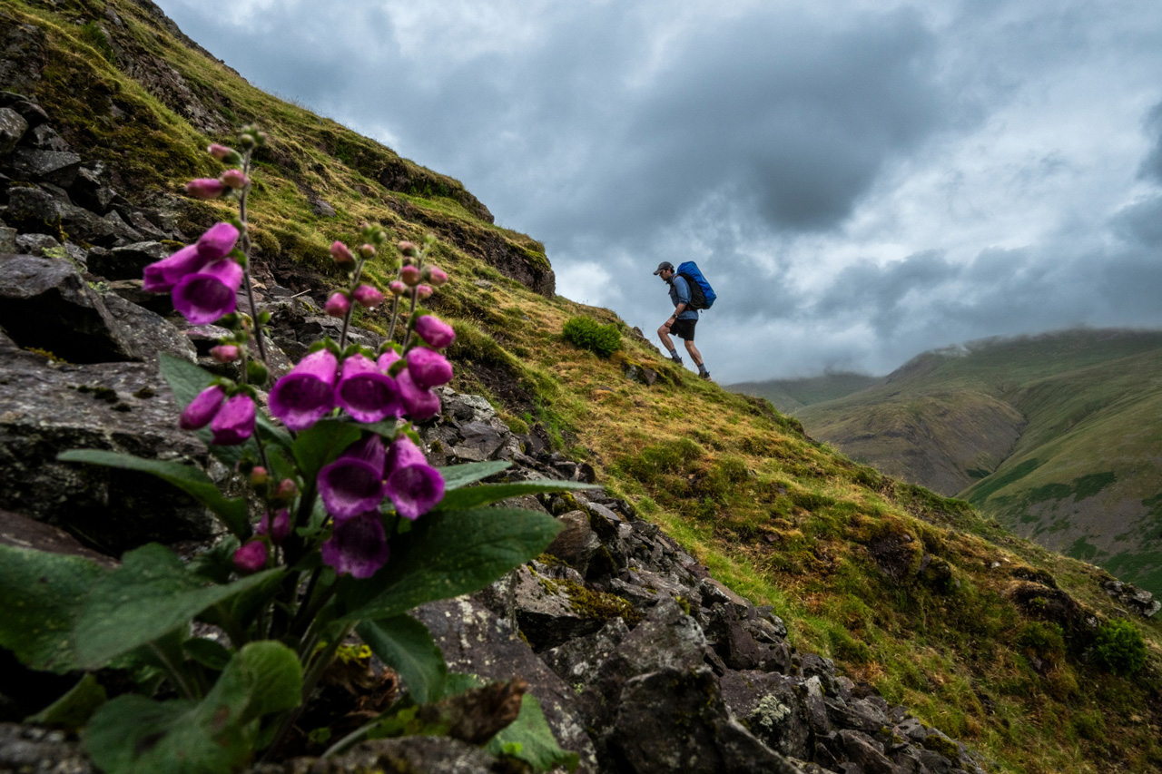
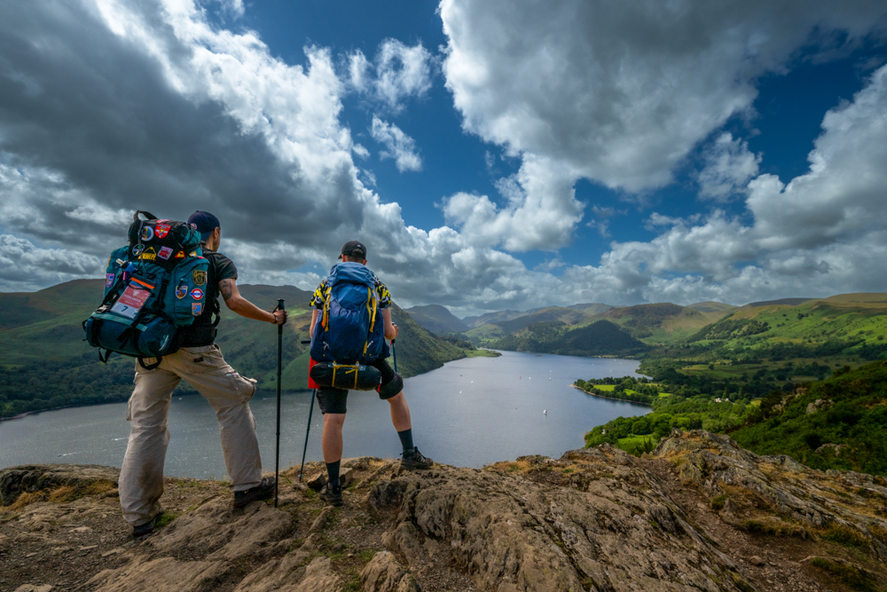
The second day was everything the first was not. There was nothing meandering or gentle about it. Instead, the terrain was steep and rugged, the weather was volatile and the day was long and demanding. Hikers generally spread out during the day, walking at their own pace, occasionally in small groups or pairs but often alone, engrossed in their own personal battle against the trail.
The first climb was a series of scrambles over a string of rocky peaks, standing to the south of the Helvellyn range. The first summit was Hart Crag (822m) followed by Fairfield, the high point of the day at 873m. By now, I’d found myself alone but didn’t mind as I could go at my own pace.
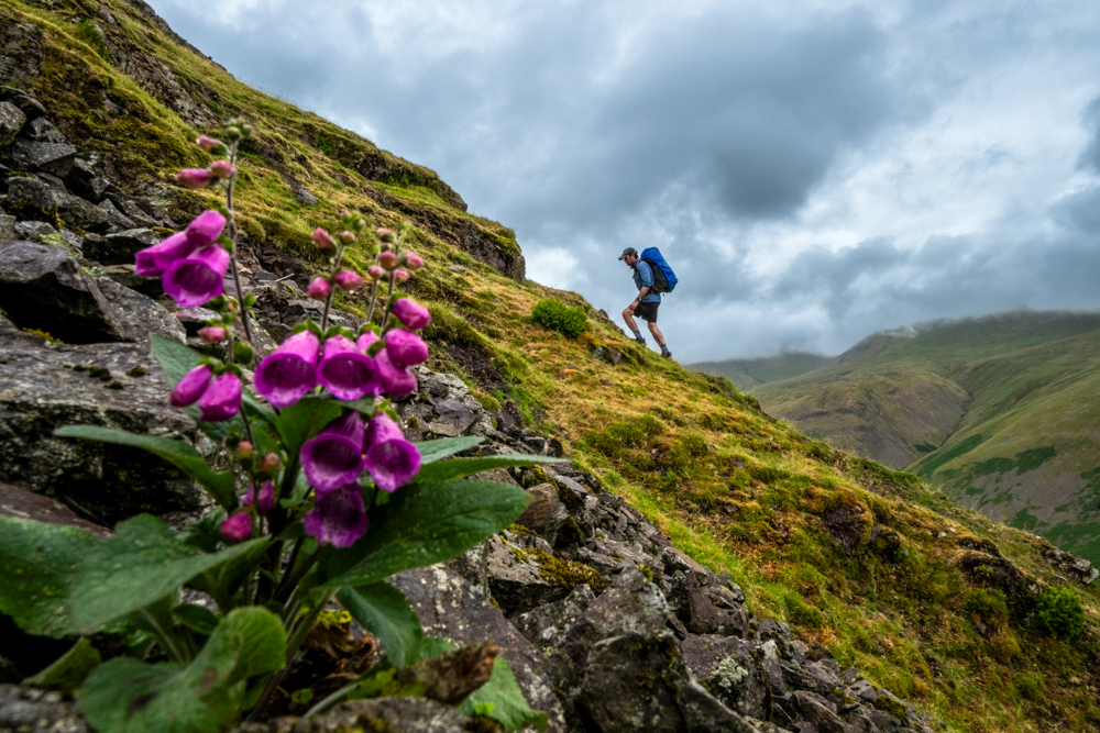
From Fairfield, the trail dropped gradually down to a road crossing at Dunmail Raise before a punishing clamber up to Steel Fell (553m). It is the steepest climb of the entire hike and coincided with some miserably wet and windy weather which wiped out any chance of a rewarding view from the top.
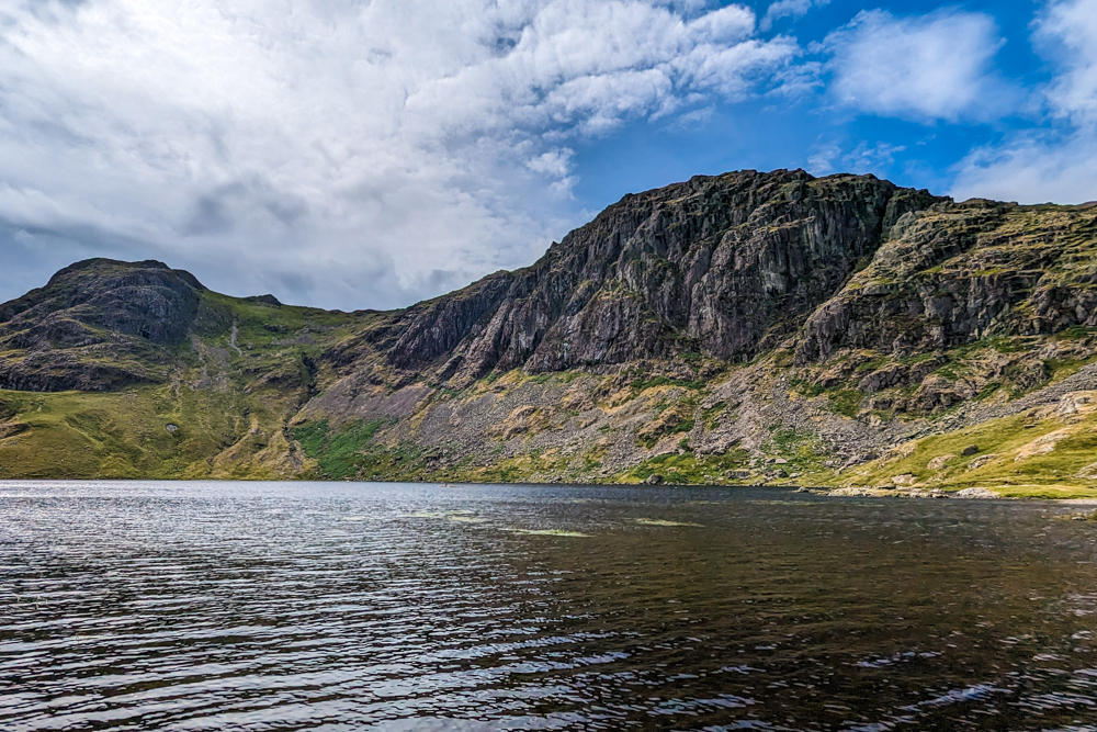
The rest of the day was spent picking my way across the high fells where Scafell Pike, England’s highest peak, and Wastwater, England’s deepest lake, could be glimpsed on the horizon. The trail passed another Wainwright – High Raise (yes, there are two in the Lakes) – and the shores of Stickle Tarn at the foot of the imposing Pavey Ark (700m) with its ominous dark cliffs. I paused here to dip my feet in the cool waters before hastily making my way off the high plateau, finally joining a proper footpath again.
Atlas & Boots
Some scenes from day two of Highlander Lake District
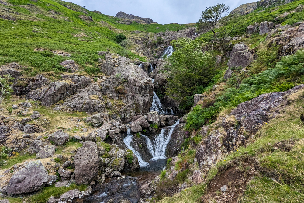
The trail quickly dropped into Langdale Valley past the picturesque waterfall of Dungeon Ghyll Force. At the bottom of the descent, I bumped into a few hikers at the aptly named Wainwrights’ Inn so I stopped off another round of light refreshment before walking the last kilometre into camp. We just about had time to pitch our tents before the rain arrived.
The camp was pretty quiet that night as hikers trickled into the checkpoint up until 10 o’clock, exhausted following a seriously demanding day in the fells. It was by far the hardest day of the trek.
Day 3
Distance: 14.73km
Duration: 4-6 hours
Ascent/descent: 710m/688m
Difficulty: Easy-moderate
The hardest day of the trek was followed by the easiest. The third morning saw Pegasus participants join the event. The Pegasus event is a three-day alternative to the five-day Hercules and covers around 56km.
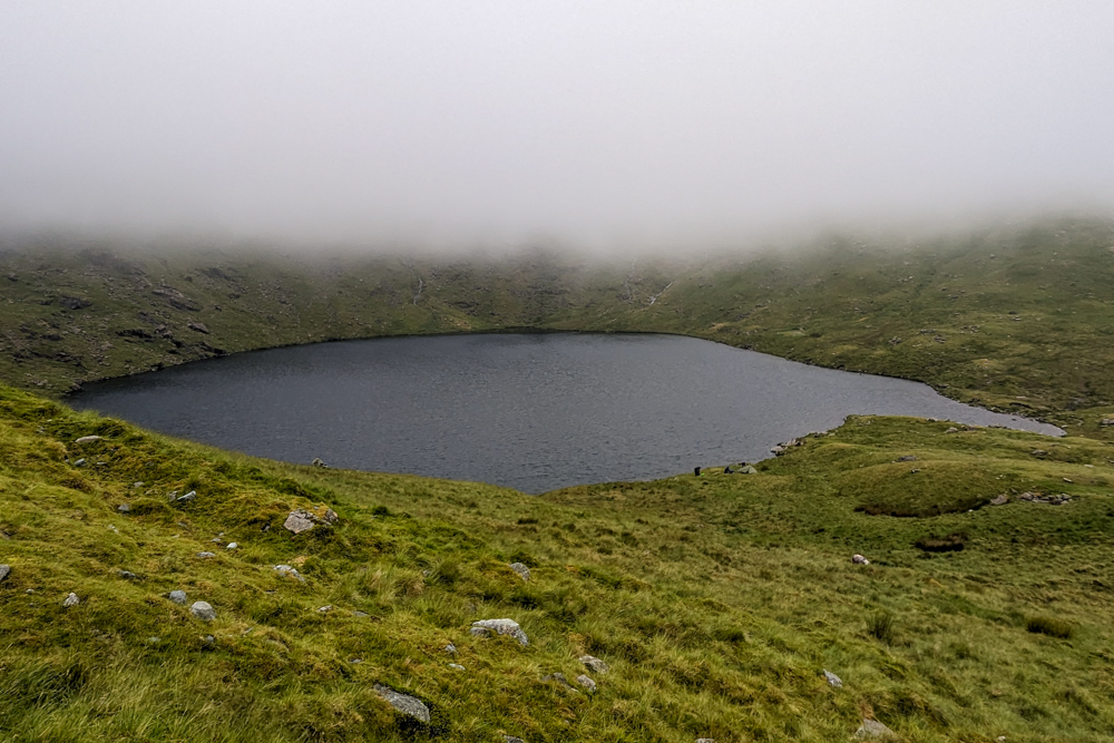
From the Langdale Valley, a clear footpath followed a steep, snaking climb up Rossett Gill to Angle Tarn. I had been up to this idyllic spot before but, unfortunately, a mist closed in almost as soon as I topped out meaning I couldn’t see any of the surrounding peaks.
The path then turned northwest towards Great End (910m), one of the most recognisable mountains in the Lakes with its monumental cliffs riven by gullies. Our target, however, was a far more sedate descent into Borrowdale, where the quiet village of Stonethwaite and its adjacent farm would be our host for the night.
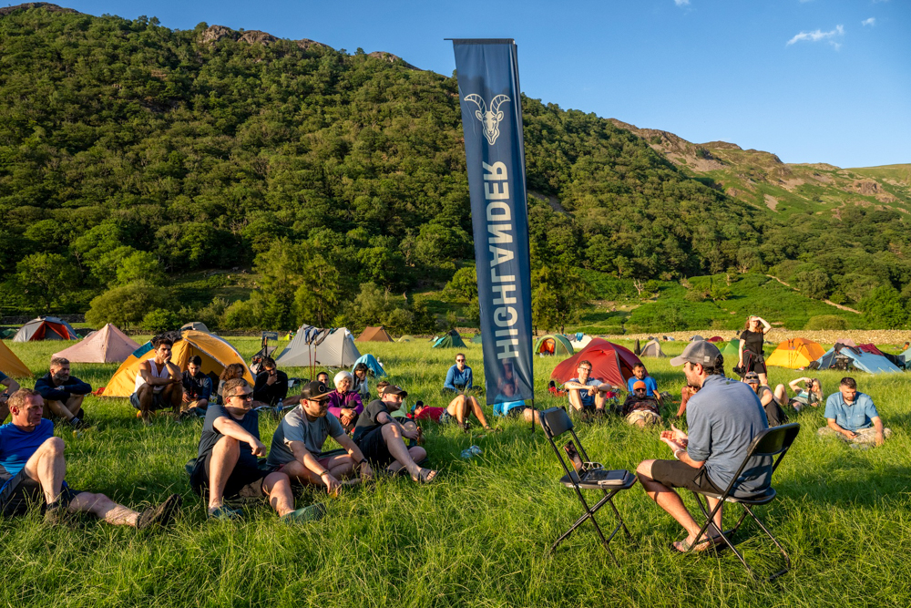
It was a short and sweet day, made sweeter by an afternoon of warm sun and blue skies as hikers milled around camp occasionally making the short foray into Stonethwaite to visit the pub. That evening, I gave a presentation to hikers about climbing the seven summits, which meant I could finally cross ‘deliver an after-dinner talk’ off my bucket list.
Day 4
Distance: 18.6km (19.1km)
Duration: 5-7 hours (4-5 hours)
Ascent/descent: 919m/878m (502m/220m)
Difficulty: Moderate-hard (easy)
With yellow-warning thunderstorms forecast for the day, the organisers took the decision to change the route which meant we would be taking a lower route along Borrowdale and around Derwent water instead of over the fells into the next valley. Unsurprisingly, there weren’t many complaints from hikers!
I fell into step with Leon, an experienced hiker I had met before, who moved at a lightning pace. If we’d stuck to the original high route, I doubt I would have been able to keep up with him but along the new low-level trail, I could just about manage it.
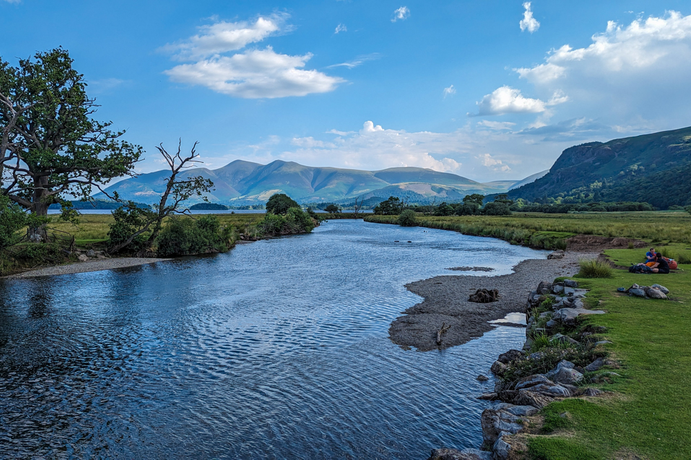
The new route meant we got to see another aspect of the landscape, albeit much lower. It certainly wasn’t as wild but was idyllic nonetheless. The trail followed the River Derwent down to Derwent Water, where we walked across wetlands via a series of wooden walkways before skirting the shore of the lake.
After stopping for lunch on the lakeshore, the trail turned away from the water into a forest and crossed to some high-level farmland to the campsite for the night. The day was not as exciting in terms of terrain as the others but it did mean we got into camp early enough to have lunch and even pop to the tea garden at Low Bridge End Farm for a slice of cake before the thunderstorms arrived.
Despite the rain, there was a relaxed atmosphere in the campsite that evening with hikers clearly taking comfort in the knowledge that the hard yards were behind them.
Day 5
Distance: 23.37km
Duration: 5-6 hours
Ascent/descent: 1,110m/1,121m
Difficulty: Moderate
The final day was arguably the most diverse in terms of terrain and it certainly served up the best weather of the trek with bright sunshine gracing us throughout. Everyone had a spring in their step and were up and out of camp early.
There was one final climb of the journey, a gruelling clamber up to Sticks Pass, the second-highest mountain pass in the Lake District at 746m. In years gone by, the pass was used to link Glenridding and Patterdale with the parishes around St Johns-in-the-Vale and Wythburn. The ancient track takes its name from the sticks used to mark the route though none survive today.

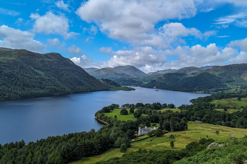
Once through the dramatic pass, the trail traces the contours of the Stybarrow Dodd (the hill of the steep path) down to Aira Force Waterfall and its surrounding grounds. The 22m falls drop into a rocky pool, from where the beck continues down a shallow valley to the Ullswater.
From here, the trail passes along the slopes above the lake, weaving in and out of woodland, slowly losing altitude. The views across Ullswater are some of the best of the trek with Helvellyn and Striding Edge on the southern horizon. Eventually, after crossing a few farmers’ fields, the trail arrived at Pooley Bridge and joined a popular lakeside walk to the campsite.
Being a Sunday in Britain’s busiest national park, reuniting with civilisation came as a shock to the system. Fortunately, it wasn’t long before the trail left the busy walkway and turned into the campsite where it had all begun five days earlier.
As a Highlander veteran, it was a treat to welcome the trek to the UK. Unlike other events, I didn’t have a long journey to join the event, there were no language barriers to overcome and because it was in my home country, it’s far more likely I will meet up with some of those I met on the trail. Aside from the social aspect, the trek showed me – no stranger to the Lakes – yet more aspects of England’s flagship national park.
In my book, trekking through any destination is always the best way to get to know a place and the Highlander route serves up slideshow after slideshow of classic Lakeland scenery to get acquainted with.
You’ll visit popular spots such as Ullswater and Aira Force Waterfall, traverse quiet uplands like Loadpot Hill and Sticks Pass, bag a handful of Wainwrights along the way and make plenty of friends. Throw in some traditional Cumbrian hospitality (aka pubs and tea gardens) and you have the recipe for a perfectly English hiking festival.
Highlander Lake District: the essentials
What: Trekking the Highlander Lake District in England, UK.
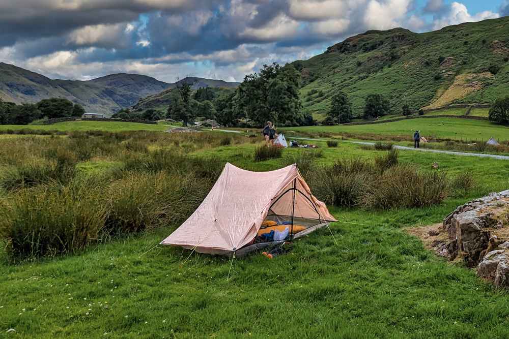
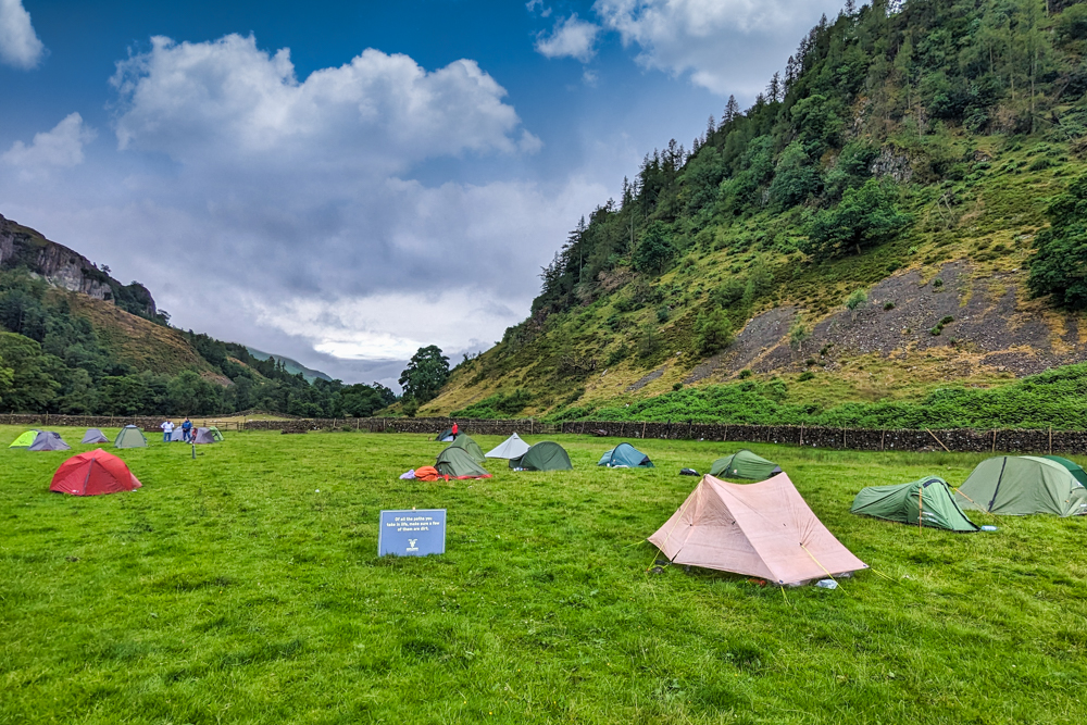
Where: There are four designated campsites along the Highlander Lake District, all located at the checkpoints, where there is ample space to pitch tents. The sites also have access to basic camping toilets and fresh water. Food for the evening meal and for the following day’s breakfast and lunch is provided at the campsites. At camp three, a hot meal was supplied meaning you don’t have to cook that night.
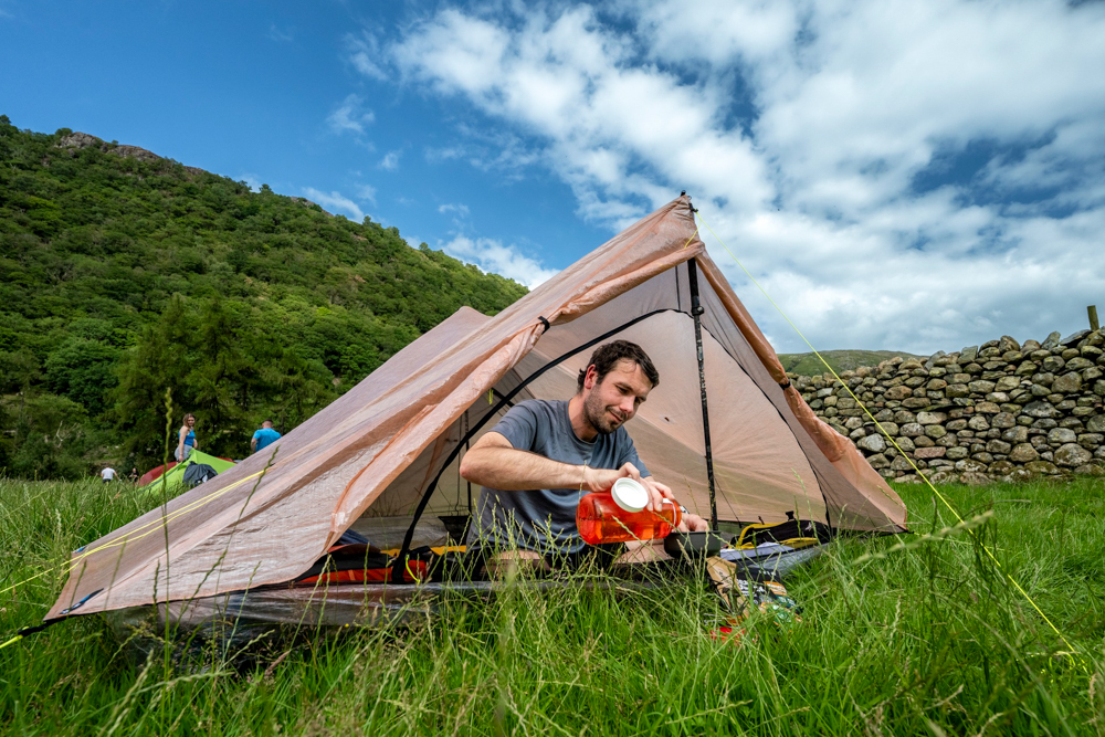
I used a Zpacks Duplex Tent which weighs in at an outrageously light 525g. Not only is it ultralight but it’s also quick and easy to pitch using trekking poles. There are two vestibules for storage or cooking which leaves plenty of space inside. It held up admirably throughout and dealt with high winds and thunderstorms as well as hot, sunny afternoons where I opened up the storm doors for ventilation
Atlas & Boots
Campsites one and four
The trek starts and ends at Park Foot Holiday Park in Pooley Bridge which has a range of accommodation available including simple camping and touring pitches, lodges, log cabins and cottages. There is also a bar and restaurant on site.
When: The Highlander Lake District trek takes place in early July (in 2024, it’s scheduled to run from 3 July to 7 July), which is an ideal time for hiking in the UK. You’re rarely guaranteed a completely rain-free period in England, but this is the driest and warmest time of the year. Regardless, make sure you pack warm and waterproof clothing.
How: The logistics, including routes, food, maps and campsites, are all arranged and included in the price. However, hikers are responsible for organising their travel to the start point and from the endpoint. Highlander Adventure can help with booking transfers, including carpooling, after registration. For those completing the Pegasus format, transfers to the trailhead from Pooley Bridge are also provided.
Hikers can also be proactive and join the Highlander Facebook group to arrange transport and car shares as well as other logistics.
If travelling by public transport, the nearest mainline station is Penrith (North Lakes) which has regular connections to London (3-4 hours), Birmingham (3 hours), Manchester Airport (2 hours), Glasgow (1.5 hours) and Edinburgh (2 hours). Book train tickets through National Rail.
From Penrith, bus 508 runs hourly to Pooley Bridge (30 mins). There are also local taxis available from the train station for around £22.50 one way.
The nearest international airports are Manchester, Newcastle, Glasgow and Edinburgh. Book flights via Skyscanner for the best prices.
Best eSIMs for travel
If you are visiting from abroad then we recommend getting a Holafly eSIM for the UK so you can stay connected to the internet on your trip. We can offer our readers 5% off all Holafly purchases. Simply use the code ATLASANDBOOTS at checkout.
Airalo is another good option. We can offer new users 15% off all Airalo eSIM packages with the code ATLAS&BOOTS15 and current users 10% off with ATLAS&BOOTS10.
Enjoyed this post? pin it for later…